Surveyor's Notebook
Practical guides, educational articles, and announcements from a chartered land survey practice.

Architects: Stop Designing from Estate Agent Plans
Why inherited drawings, estate agent plans, and client sketches should be replaced with measured building survey data before design work starts.
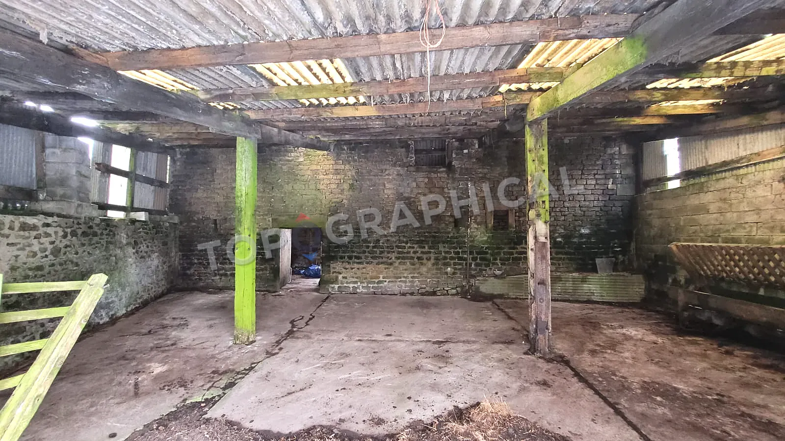
Commercial Fit-Out: Why CAT A Handover Needs a Measured Survey
Why CAT A handover is the right moment to verify floor plates, cores, services, and perimeter conditions before CAT B design starts.
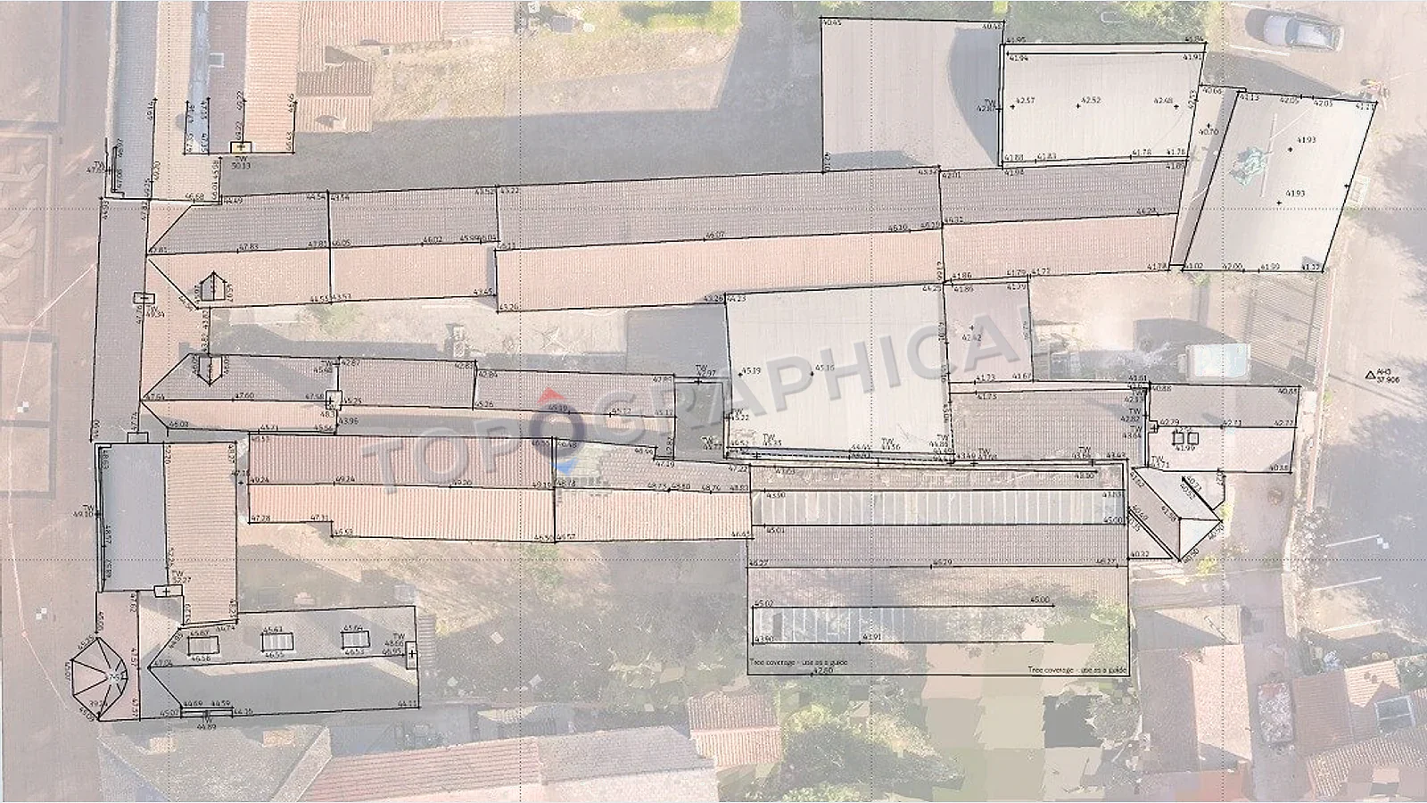
Coordination Failures: When Disciplines Work from Different Bases
How uncoordinated base plans create planning, drainage, landscape, and design clashes that a shared topographic survey can prevent.
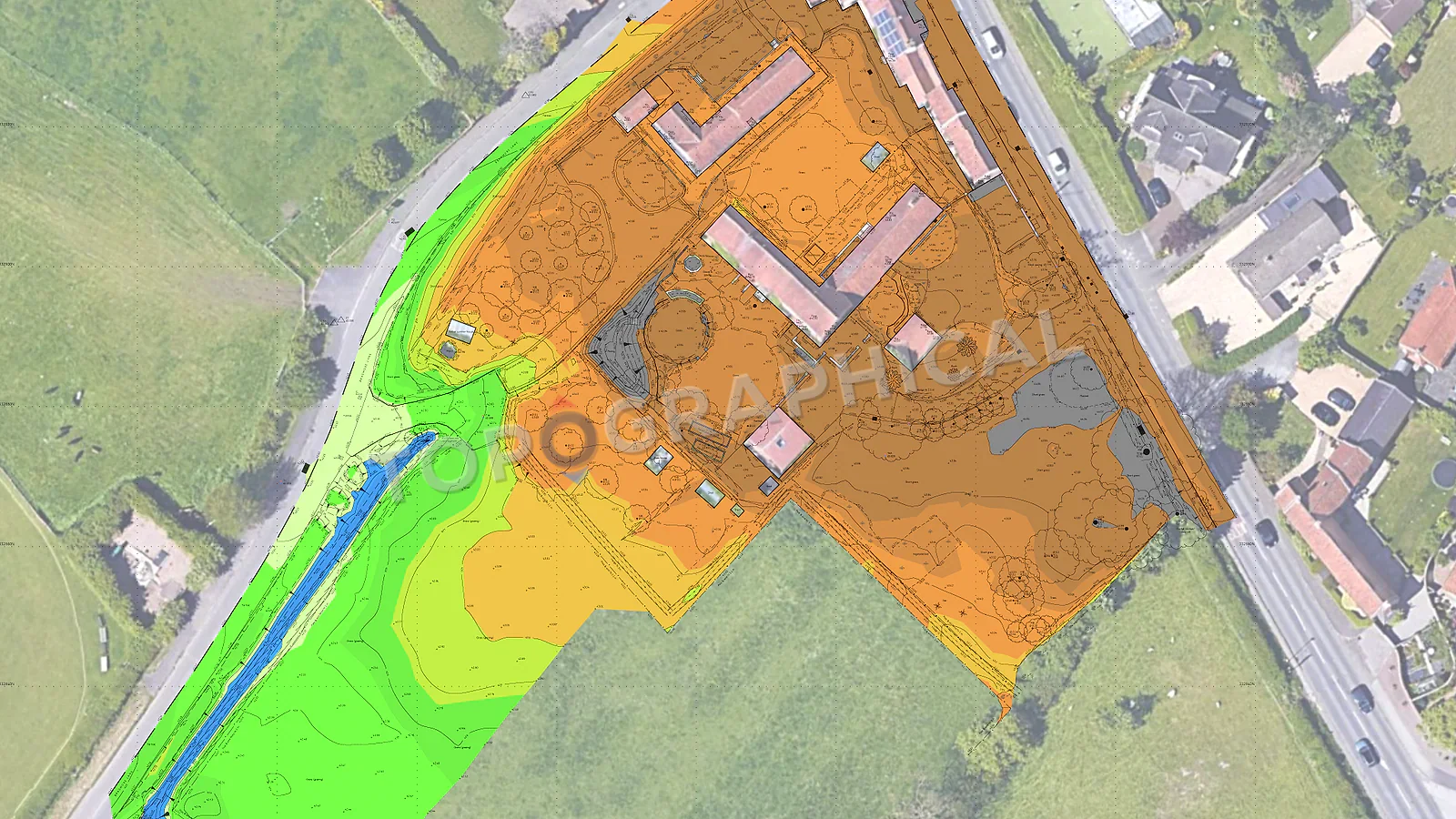
Cut and Fill: Why Earthworks Budgets Depend on Survey Accuracy
Why small level errors can become large earthworks cost variances, and why survey-grade terrain data matters before volume calculations.
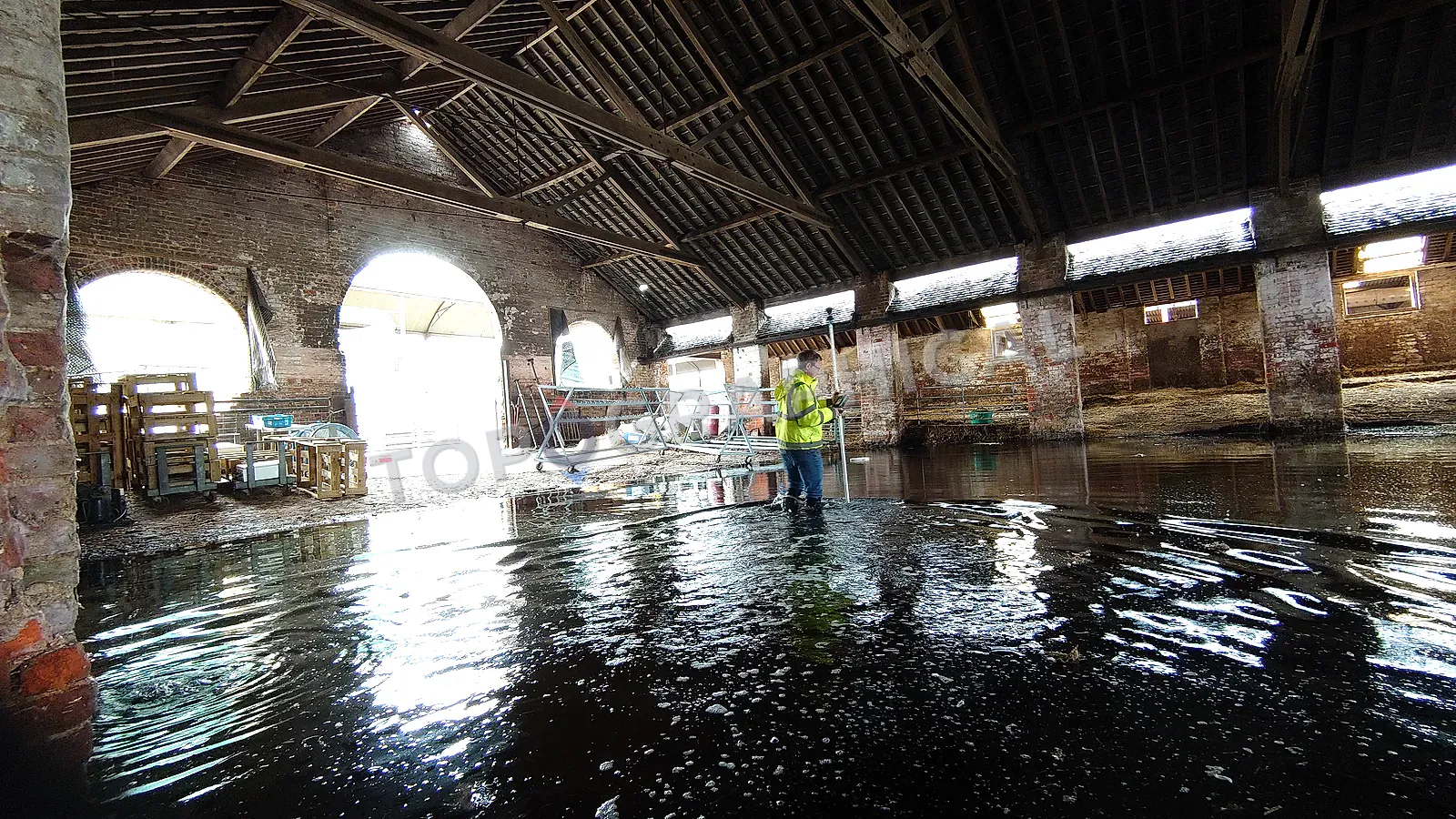
Front-Loading the Planning Technical Package
Why planning teams should commission measured site data early so drainage, trees, levels, and design drawings share the same base.
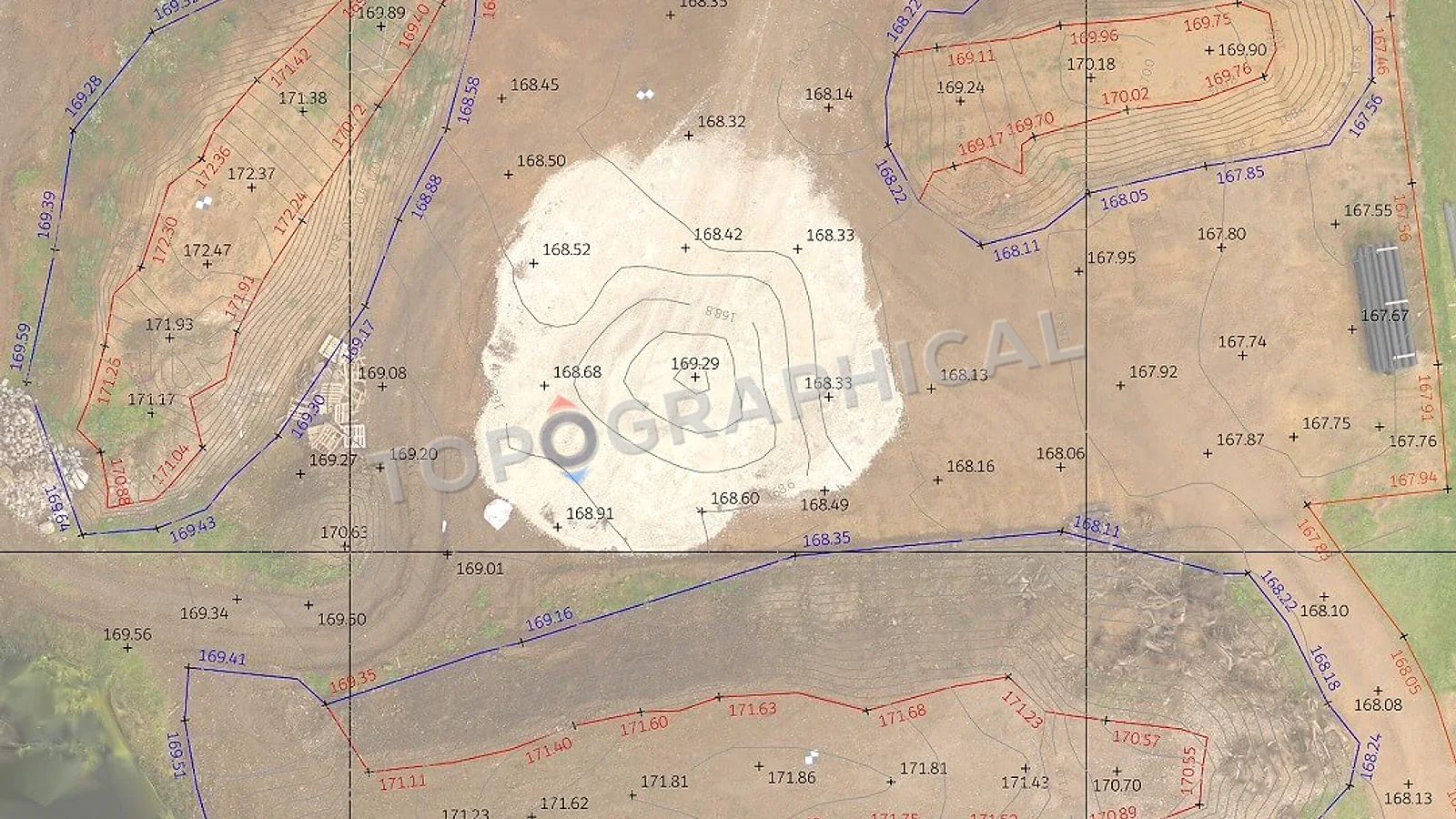
How Long Is a Topographic Survey Valid?
A practical guide to when topographic survey data remains reliable, when it needs updating, and what site changes invalidate it.
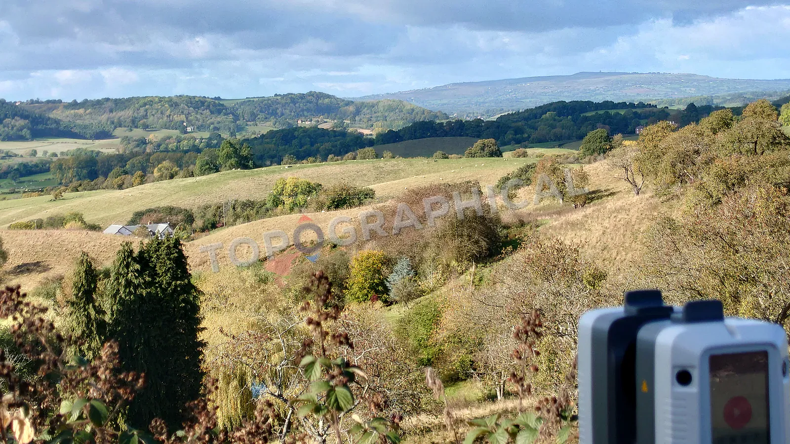
How Much Does a Topographic Survey Cost?
A detailed look at what affects topographic survey cost, from site area and access to specification density and deliverable requirements.

Lease Plans and the Land Registration Act
Why compliant lease plans need measured building survey data, clear extents, and properly scaled drawings for registration.
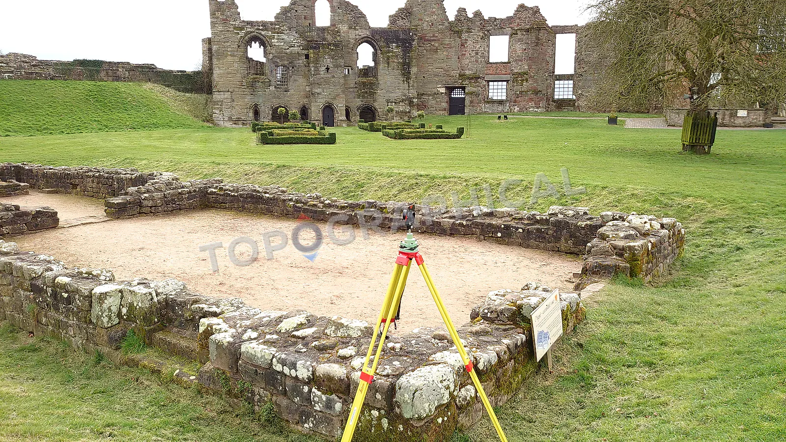
Measured Building Surveys for Listed Buildings
Why heritage buildings need careful measured survey work that records irregularity, deformation, and fabric without tidying away evidence.
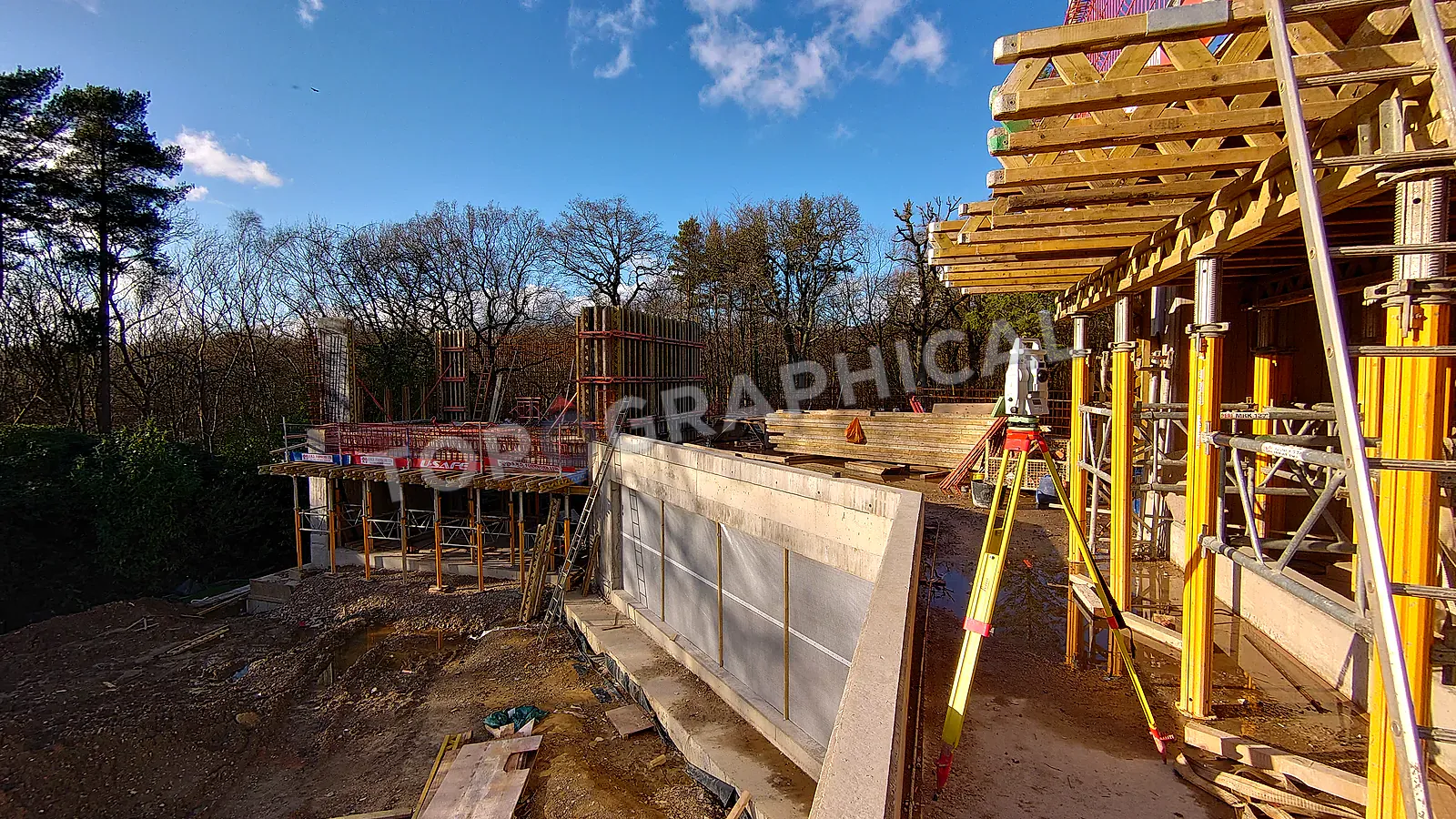
Measured Building Surveys: What Architects Actually Need
What a measured building survey should give architects when archive drawings, old PDFs, or client sketches are not reliable enough.
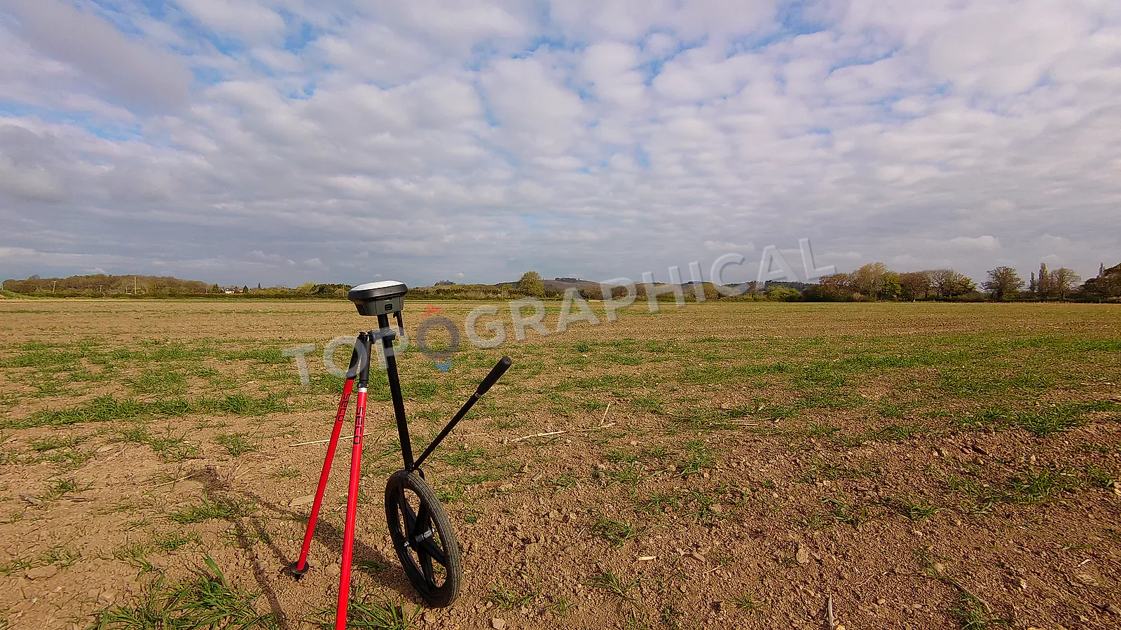
How to Spend Less on Your Topographic Land Survey
How to reduce survey cost without undermining the data your architect, engineer, or planning consultant actually needs.
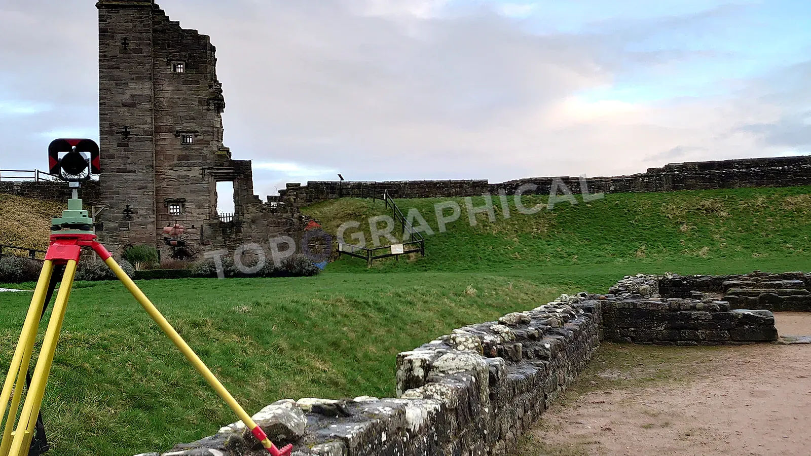
How to Minimise Topographic Land Survey Costs
How to brief a targeted topographic survey by defining the end use, coverage, detail zones, and avoidable site constraints.
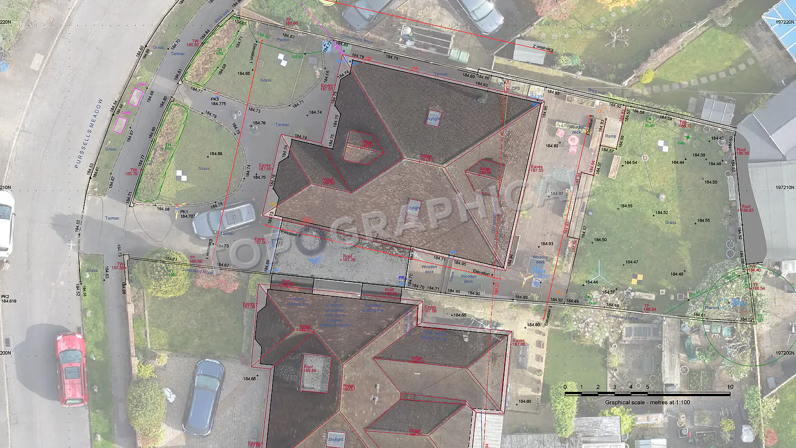
Site Appraisal: What Survey Data Tells You Before You Commit
How measured site data can reveal gradients, boundary issues, access constraints, and cost risks before acquisition or design commitment.
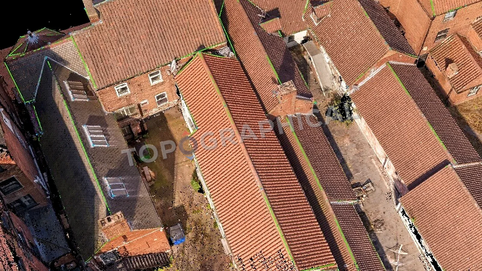
AI, Automation, and Point Cloud Surveying
What automation changes in point cloud processing, and why surveyor judgement, field decisions, QA, and liability still matter.
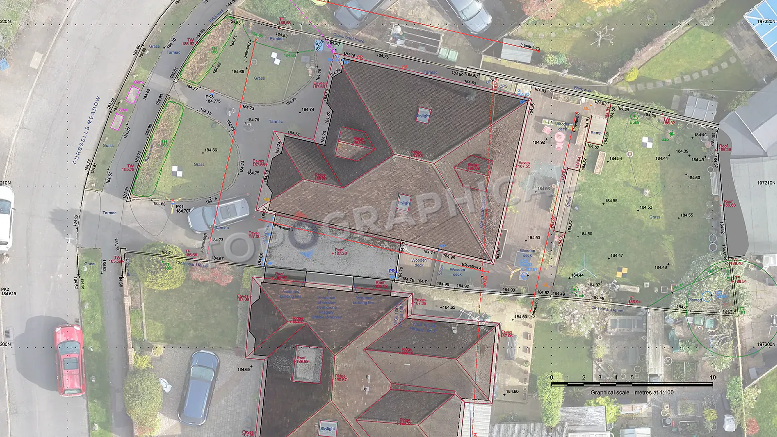
Your Title Plan Is Not a Boundary Survey
Why Land Registry title plans show general boundaries only, and why measured site features are needed for design or boundary-sensitive work.
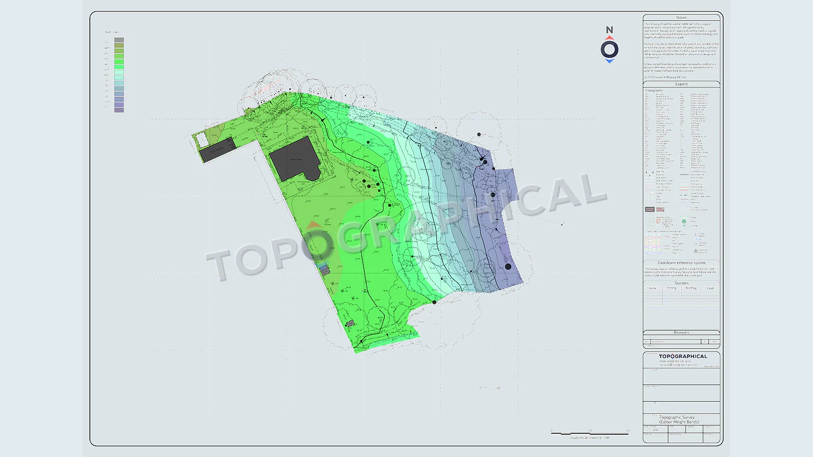
Topographic Survey vs Site Plan
The difference between measured site data and a design site plan, and why confusing the two can derail planning submissions.
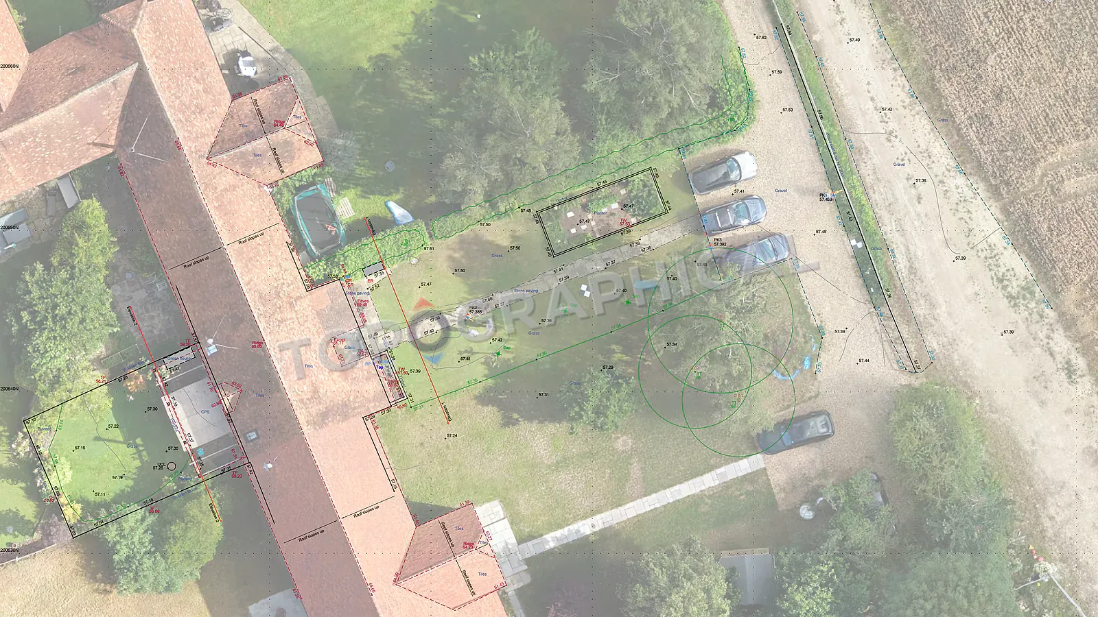
Topographic Surveys and Flood Risk Assessments
Why flood risk assessments need measured levels tied to datum, not approximate contours or unverified mapping.
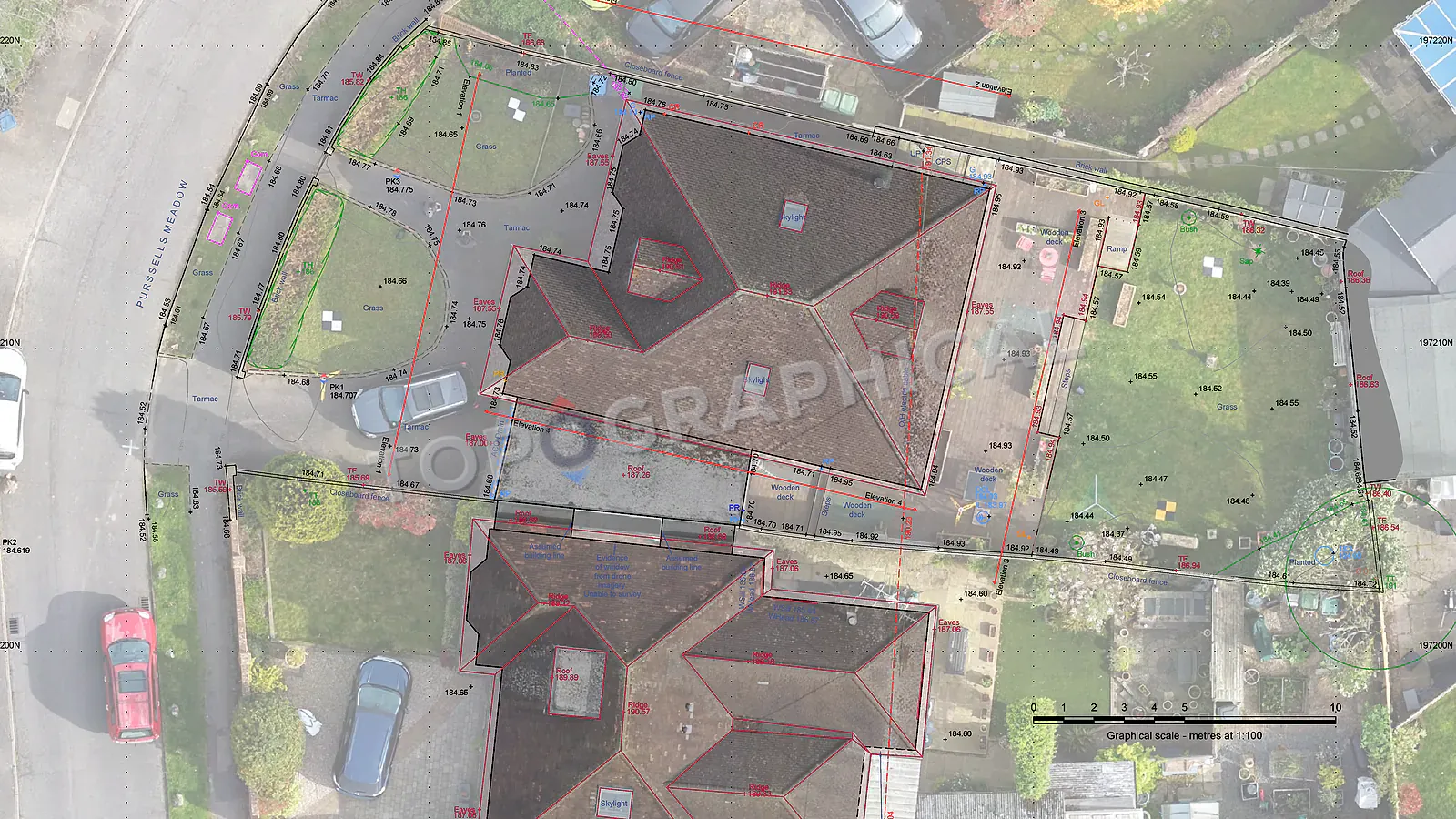
Topographic Surveys for Garden Design
Why landscape and garden design needs measured levels before terraces, drainage, thresholds, and retaining walls are designed.
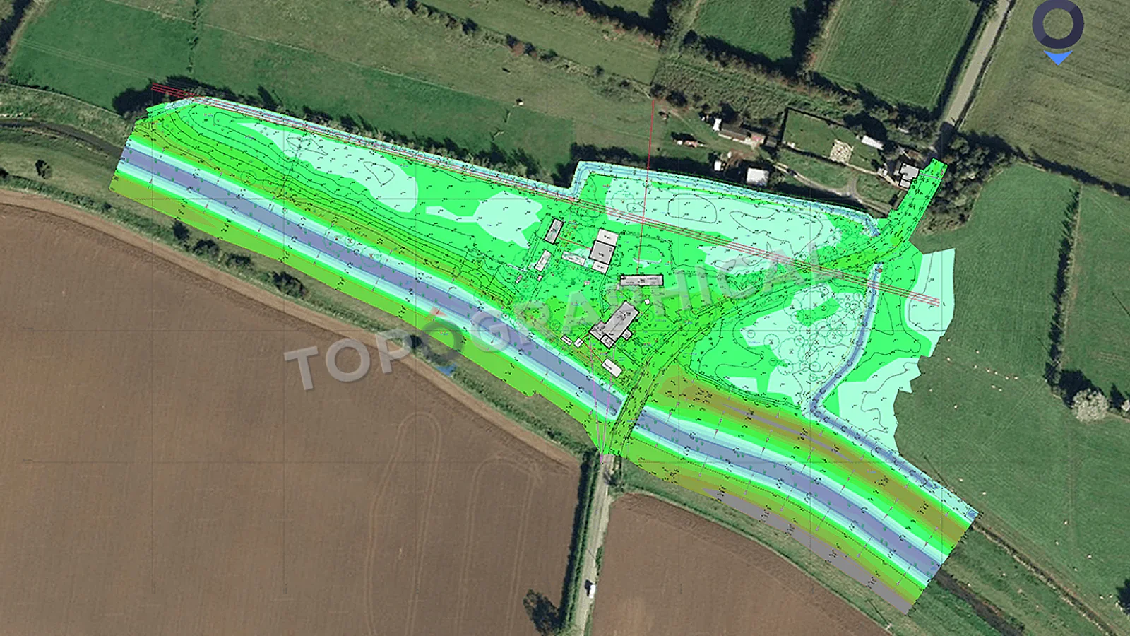
Topographic Surveys for Planning Applications
What planning teams need from a topographic survey, and why missing levels or unverified site data can delay validation.
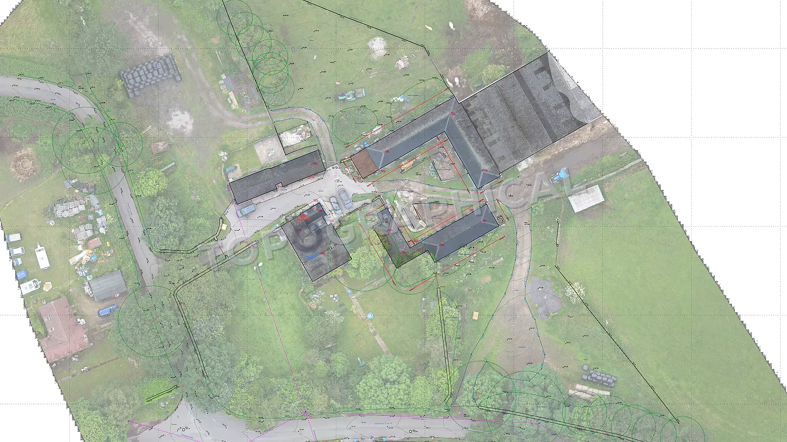
Topographic Surveys for Solar Farms
Why large solar sites need measured terrain data for panel layout, drainage, cable routes, access tracks, and planning evidence.
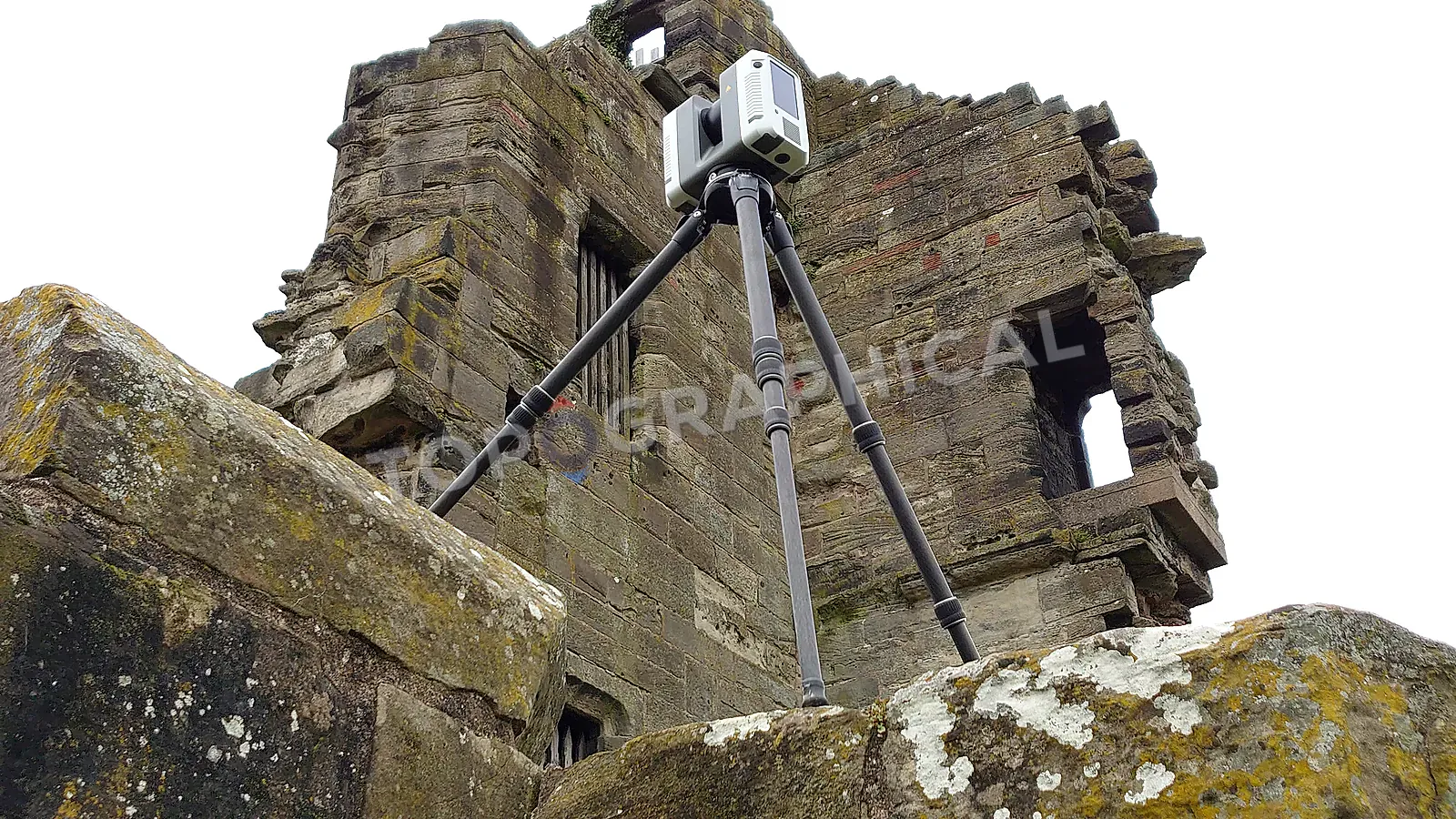
What Happens After You Commission a Survey?
A plain-English walkthrough of instruction, desktop preparation, fieldwork, processing, QA, delivery, and later changes.

What Is a Point Cloud?
A practical explanation of point cloud data, how it is captured, what it can and cannot do, and how clients use it.

When to Use a Drone Survey
Where drone survey capture helps, where it does not, and why the deliverable should drive the method.
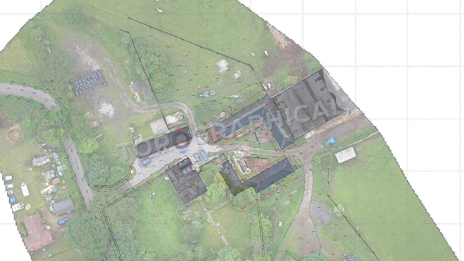
Understanding Land Tenure Before a Survey
A guide to ownership context, site extents, and why clear responsibility matters before briefing survey work.
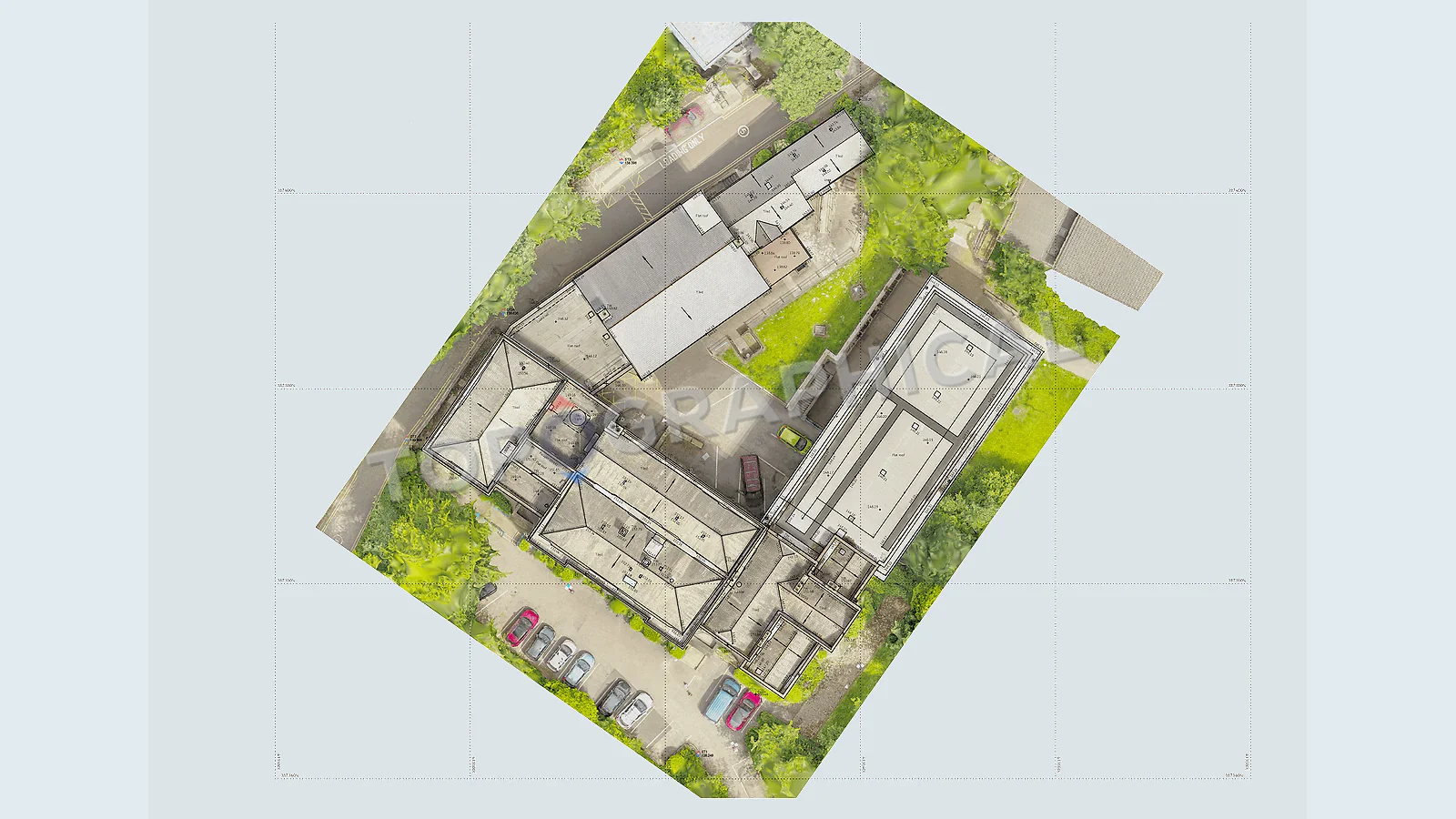
When Drone Capture Helps a Topographical Survey
When aerial capture supports a topographical survey, and why it should be scoped around the finished deliverable.
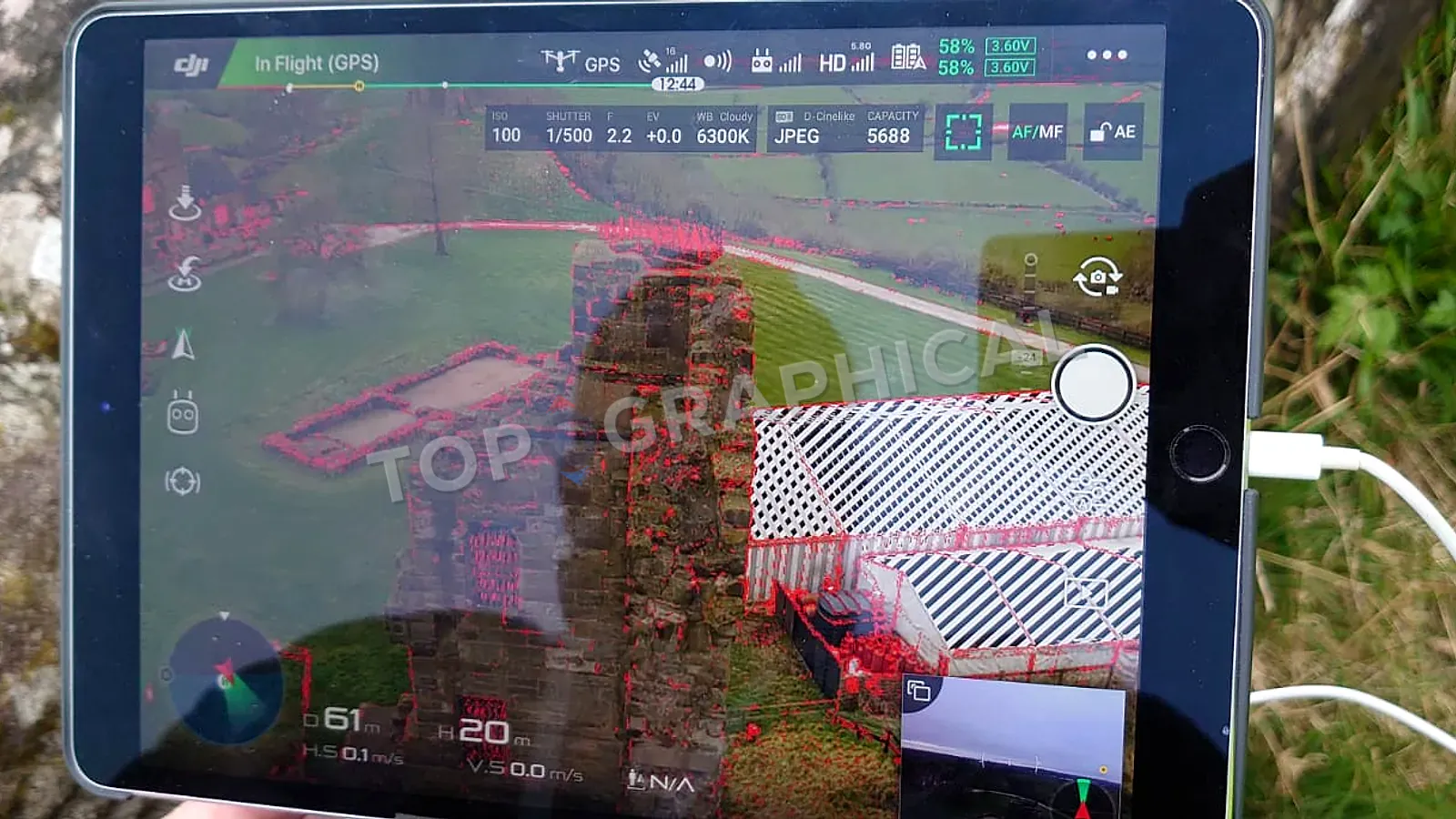
What Clients Mean by a GPS Survey
What clients usually mean by a GPS survey, and how that request fits into a properly scoped topographical survey.
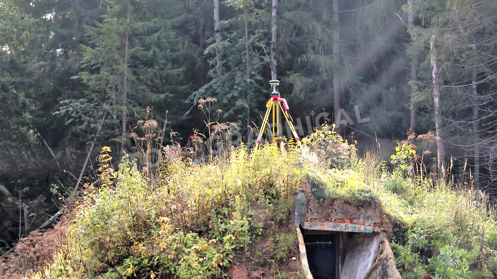
GNSS and GPS Control in Professional Survey Work
A practical explainer for survey control, site coordinates, and why accurate control matters before detail capture begins.
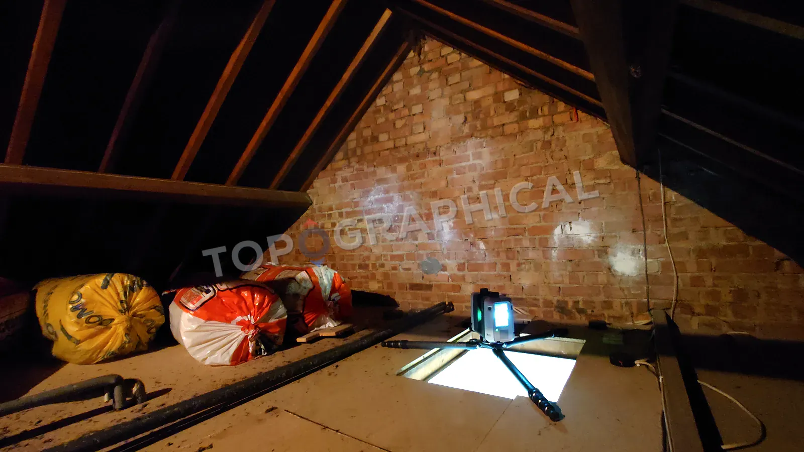
How 3D Laser Scanners Support Building Surveys
How scan-backed capture helps measured building surveys produce clearer plans, elevations, sections, and building records.

What a Total Station Adds to a Survey
How a total station supports measured survey control, site detail, and cleaner survey deliverables for design teams.

How Much Does a Land Survey Cost?
A clear explanation of what shapes land survey cost, without pretending that every site can be priced from a simple table.
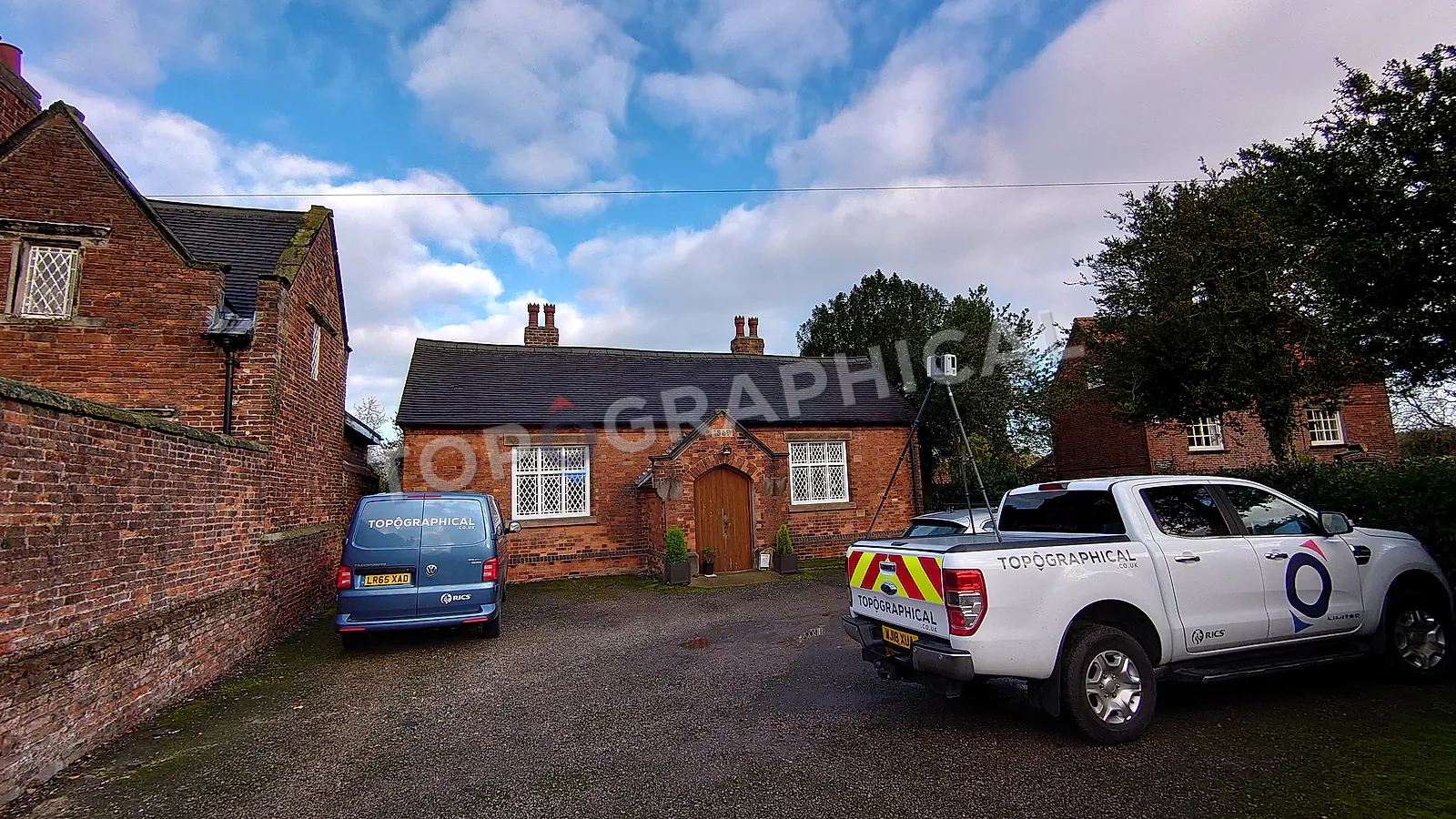
How to Reduce Survey Costs Before You Brief the Job
Practical briefing choices that help survey teams quote clearly, avoid wasted site time, and keep measured survey costs under control.
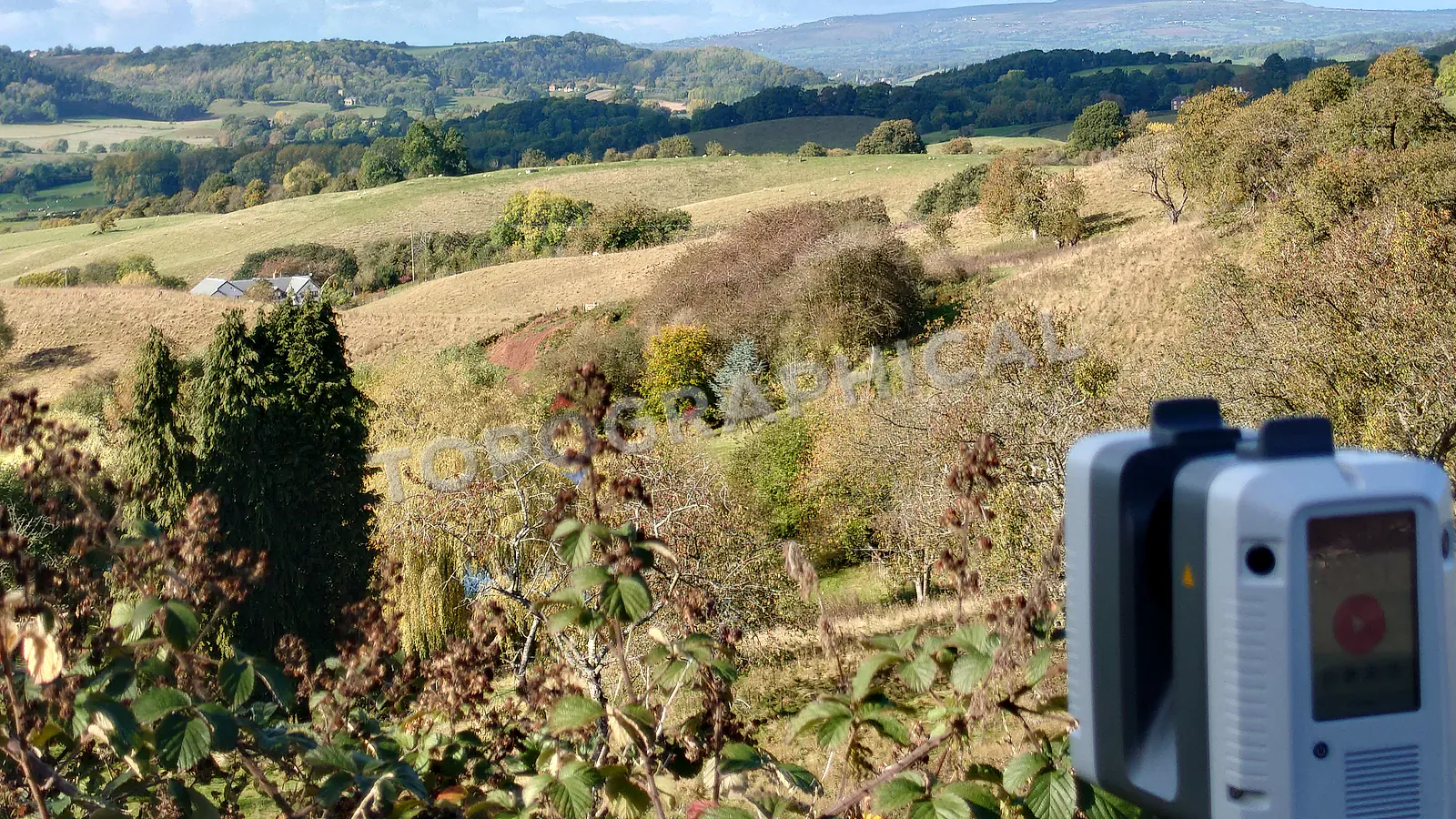
What Is a Topographical Land Survey?
A practical guide to what a topographical survey measures, when it is needed, and what clients receive from the finished drawing.