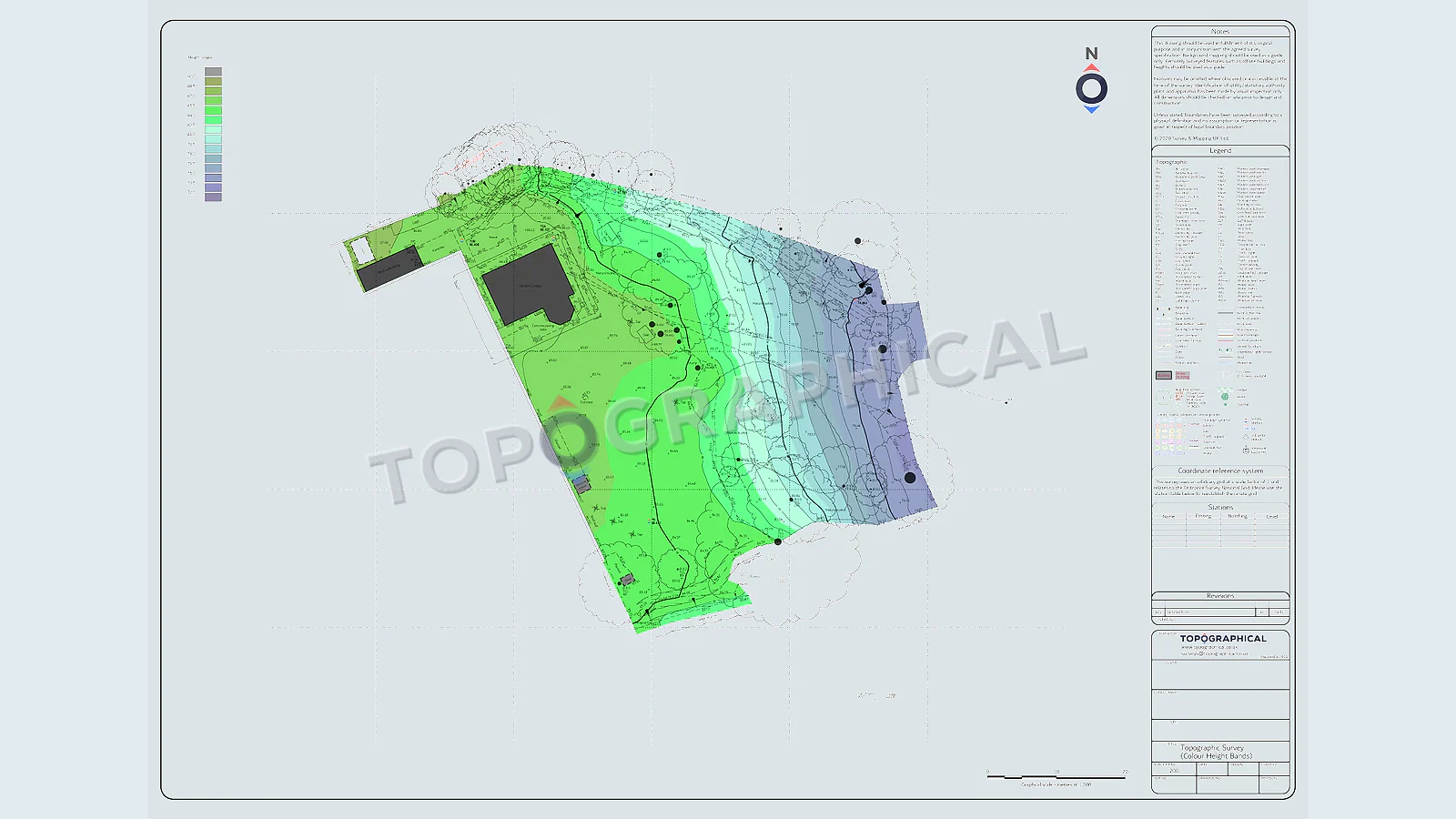
Topographic Survey vs Site Plan
The difference between measured site data and a design site plan, and why confusing the two can derail planning submissions.
A site plan is not a topographic survey: confusing the two will get your planning application instantly invalidated. A topographic survey is the factual, measured 3D reality of your site; a site plan is the architect's 2D argument built on top of that data.
The two terms are used interchangeably by clients with sufficient frequency that it bears stating, plainly and without condescension: a "site plan" and a "topographic survey" are not the same document, they do not serve the same purpose, they are not produced by the same method, and submitting one where the other was required is among the most reliable mechanisms for having a planning application invalidated at the point of registration.
What a site plan is
A "site plan" (or "block plan"), in planning application terminology, is typically drawn at 1:200 or 1:500 and shows the proposed development in relation to the site boundaries, access, adjacent buildings, and other contextual features. It is a design drawing produced by the architect, showing what is proposed. Its base information may be derived from OS mapping, from a topographic survey, or (in the worst case) from the architect's own approximate measurements and assumptions.
A site plan is required for virtually every planning application. It forms part of the national validation requirements under the Development Management Procedure Order 2015. It shows the footprint of the proposal, its relationship to the site boundary, parking, access, landscaping, and (where relevant) the position of trees and other constraints.
What a topographic survey is
A topographic survey is a measured record of the existing site, produced by a surveyor using precision instruments, showing the position and level of all physical features within a defined area to a stated accuracy. It includes spot levels, contours, boundary features, buildings, trees, surface types, and any other features specified in the brief. It is not a design drawing. It is the factual base from which design drawings are produced.
The topographic survey provides the information that the architect uses to draw the site plan. It is the evidence. The site plan is the argument.
Where the confusion causes problems
Scenario one: The client asks for "a site plan for planning." What they actually need is a topographic survey from which their architect can produce a site plan. If a surveyor delivers a topographic survey to a client who was expecting a ready-to-submit planning drawing, confusion results. The topographic survey is the raw measured data; the site plan is the architect's interpretive work using that data as its foundation.
Scenario two: The client asks their architect to produce existing and proposed drawings. The architect, lacking a topographic survey, produces the "existing" site plan from OS MasterMap data. For a simple householder application on a flat site with no level changes and no trees, this might (might) be adequate. For anything involving level changes, tree constraints, flood risk, boundary sensitivity, or a complex relationship between existing and proposed, the OS-derived site plan lacks the accuracy and content that the LPA's local validation checklist requires.
Scenario three: The planning officer's validation checklist requires "existing and proposed site levels related to a fixed datum." The applicant interprets this as meaning they need levels shown on their site plan. They scale approximate levels from OS contour data and add them to the architect's drawing. The officer, correctly, rejects this as inadequate, because the levels are not survey-grade, are not tied to a stated datum with any confidence, and cannot support the engineering decisions (drainage, floor levels, access gradients) that the levels are intended to inform.
Topographic Survey vs. Site Plan
| Characteristic | Topographic Survey | Site Plan (for Planning) |
|---|---|---|
| Creator | Land Surveyor | Architect / Designer |
| Purpose | Factual measurement of existing reality | Design proposal and site strategy |
| Base Data | Captured via total station and laser scanner | Built upon the Topographic Survey |
| Role in Planning | Provides the mandatory measured levels data | Shows how the design interacts with the site |
What the planning authority actually requires (and when)
The national requirement is a location plan and a site plan. These are design drawings, not surveys. The local validation list is where survey-grade information enters the picture, and it enters differently depending on the authority and the nature of the development:
- Sloping sites: Existing and proposed site levels at 1:200 or 1:500, with sections at 1:50 or 1:100, all related to a fixed off-site datum
- Sites with trees: Tree positions plotted to BS 5837, which requires survey-grade stem positions with canopy spreads
- Flood zones: Site levels in metres AOD at a density and accuracy that satisfies the Environment Agency's FRA checklist
- Level changes: Where cut and fill or retaining structures are proposed, cross-sections showing existing terrain versus proposed finished levels
All of these require a topographic survey as their source. None of them can be satisfied by an architect working from OS data or tape measurements.
The correct procurement sequence
- Commission the topographic survey (defines what exists)
- The architect designs the scheme using the survey as the base (defines what is proposed)
- The architect produces the planning drawings (site plan, floor plans, elevations, sections) with "existing" information derived from the survey and "proposed" information derived from the design
- The planning application is submitted with both the survey data (for validation requirements that demand measured levels) and the architect's design drawings (for the planning assessment itself)
Step 1 informs Step 2. Step 2 produces Steps 3 and 4. Reversing this sequence (designing first, then discovering that the site geometry does not match the assumptions) costs whatever a redesign costs, which is always more than the survey.
The deliverable distinction
When you commission a topographic survey from us, you receive a measured plan of the existing site in CAD format. This is your base information: the dataset your architect opens in their drawing software and uses as the foundation for their design work. It is not, itself, a planning submission document (though it may be submitted alongside the application as evidence of the site levels, trees, and features that the design responds to).
The site plan that gets submitted with your planning application is produced by your architect, using our survey as the spatial framework. The two documents work together: the survey provides the measured facts, and the site plan shows the design response to those facts.
If you need both (and on any project involving level changes, trees, or complex site geometry, you do), commission the survey first, give the CAD file to your architect, and let them produce the planning drawings from a measured base rather than an estimated one. The alternative is an application built on assumptions, and assumptions have a specific half-life in the planning system: they survive until the validation officer opens the checklist.
Frequently Asked Questions (FAQ)
Can I submit an OS map instead of a topographic survey? Rarely. OS mapping lacks the precise, site-specific vertical levels (spot levels and contours) that planning authorities require to assess drainage, heights, and ground gradients.
Which comes first, the site plan or the survey? The topographic survey must come first. Designing a site plan before you have factual site measurements means you are designing a hypothesis that will likely need revision.
Will the council reject my application without a survey? Yes. Missing site levels and topographic data are among the most common reasons planning applications are invalidated at the registration stage, delaying your project by weeks.
Ready to brief a survey?
Draw your site, define the scope, and receive a fixed-price quote.
Start a Survey Quote