What Happens After You Commission a Survey?
A plain-English walkthrough of instruction, desktop preparation, fieldwork, processing, QA, delivery, and later changes.
Stop wondering what happens after you pay the deposit. From the moment you instruct a survey, we handle desktop site planning, field capture, office 3D modelling, and rigorous QA, delivering survey-grade intelligence in 5 to 15 days.
For clients who have never commissioned a topographic or measured building survey before (which is most clients, because most people do not acquire land or refurbish buildings with sufficient frequency to develop a working familiarity with the process), the period between placing the order and receiving the deliverable is a black box. Money goes in. Time passes. A drawing arrives. What happened in between is unclear, and that opacity can generate unnecessary anxiety about timelines, access requirements, and what (if anything) is expected of the client during the process.
This article describes what actually happens, from instruction to delivery, for both topographic land surveys and measured building surveys. No jargon. No upselling. Just the sequence.
Stage 1: Instruction and specification
You provide us with a plan showing the area to be surveyed (for topographic work) or the building address and scope (for measured building surveys), along with a description of the purpose. We return a fixed-price quote with a specification confirming what will be captured, what you will receive, and when.
Once you accept the quote, we confirm a fieldwork date. For most projects, this is within one to two weeks of instruction, depending on programme workload and any access constraints you have flagged. If you require a specific date (to coordinate with other site activities, or because access is only available on certain days), tell us at the point of instruction, not after scheduling.
Stage 2: Desktop preparation
Before attending site, we prepare the fieldwork by:
- Reviewing available mapping (OS MasterMap, aerial imagery, any site plans you have provided) to understand the site layout, access routes, and likely methodology
- Planning survey control strategy (where to establish known coordinate positions from which all measurements will be referenced)
- Identifying any constraints: airspace restrictions for drone work, listed building status affecting methodology, ecological sensitivities affecting timing, or access limitations affecting scheduling
- Preparing instrument configurations, flight plans (for drone work), or scan position plans (for laser scanning)
This preparation is invisible to you, but it directly affects the efficiency of the site visit. A surveyor who arrives without having reviewed the site spends the first hour of fieldwork doing what should have been done the previous evening.
Stage 3: Fieldwork
For a topographic survey, a surveyor (or survey team, for larger sites) attends with a total station, GNSS receiver, and/or drone, depending on the site characteristics and specification. They establish survey control (fixed reference positions tied to Ordnance Survey coordinate systems and datum), then systematically capture the position and level of every feature within the defined survey area according to the agreed specification.
A typical residential site (house and garden for a planning application) requires half a day to one day of fieldwork. A one-hectare development site might require one to two days. A multi-hectare scheme with full specification might require three to five days with a team.
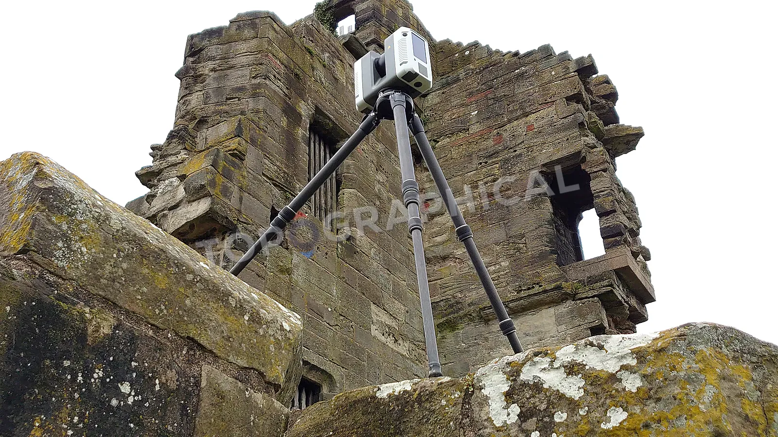
For a measured building survey, a surveyor attends with a terrestrial laser scanner. The scanner is placed at multiple positions throughout and around the building, capturing a three-dimensional point cloud of all visible surfaces from each position. Scan positions are chosen to ensure complete coverage (every room, corridor, staircase, and external face is captured from at least one position, with overlap between adjacent scans to enable registration).
A typical three-bedroom house requires half a day to one day of scanning. A multi-storey commercial building might require two to three days. The variables are building size, complexity of layout, number of rooms, and access conditions.
What the client needs to provide during fieldwork:
- Access to all areas within the survey scope (unlock gates, provide keys, ensure rooms are accessible)
- A site contact who can answer questions if they arise (usually a phone number is sufficient; physical presence is not normally required)
- Advance warning of any hazards, security requirements, or access restrictions
You do not need to be present during fieldwork. You do not need to supervise the surveyor. You do not need to point out features or provide directions (the specification and desktop preparation handle this). If you want to be present, you are welcome, but it is not required and does not affect the deliverable.
You do not need to be present during fieldwork. You do not need to supervise the surveyor. You do not need to point out features or provide directions (the specification and desktop preparation handle this). If you want to be present, you are welcome, but it is not required and does not affect the deliverable.
The Survey Process: Timeline and Responsibilities
| Stage | Who Handles It? | Typical Timeframe |
|---|---|---|
| 1. Instruction & Quote | Joint (You provide scope, we quote) | 1-2 Days |
| 2. Desktop Prep | Surveyor (Flight planning, OS review) | Invisible to you |
| 3. Fieldwork | Surveyor (You just provide access) | 0.5 to 5 Days (Site dependent) |
| 4. Processing & QA | Surveyor (Point cloud extraction) | 1 to 3 Days post-fieldwork |
| 5. Final Delivery | Surveyor delivers DWG/PDF to you | 5-15 Days total |
Stage 4: Office processing
After fieldwork, the raw data is processed in the office:
For topographic surveys: Field observations are downloaded, checked for consistency, and processed into a coordinate dataset. This dataset is then used to generate the survey drawing: plotting feature positions, interpolating contours from spot levels, annotating features, applying layer structures, and formatting the deliverable to the agreed specification.
For measured building surveys: Individual scan positions are registered together (aligned into a single coordinate system using overlapping geometry and control points) to produce a unified point cloud. The surveyor then works through this point cloud, interpreting the three-dimensional data into conventional 2D drawings: identifying wall lines, measuring openings, establishing floor levels, plotting sections, and producing the floor plans, elevations, and sections specified in the brief.
Processing time is approximately proportional to fieldwork time. A one-day site visit typically requires one to two days of processing. Complex projects or high-specification heritage work may require longer.
Stage 5: Quality assurance
Before delivery, every survey passes through an internal check:
- Coordinate and level consistency (do levels along continuous features maintain plausible gradients? do building corners form geometrically coherent shapes?)
- Specification compliance (has everything in the agreed scope been captured and drawn?)
- Deliverable formatting (correct layers, correct scale, correct file format, correct datum statement)
If the QA process identifies anomalies (a level that appears inconsistent, a feature that is ambiguous in the field data), we may contact you for clarification, or in some cases return to site to verify a specific measurement. This is rare, but when it happens, it happens within the quoted price and timeline.
Stage 6: Delivery
You receive the deliverable in the agreed formats (typically DWG, PDF, and 3D model). For measured building surveys, the point cloud is also available on request. The drawing includes a title block confirming the survey date, coordinate system, datum, accuracy statement, and the firm's professional credentials.
For a standard residential topographic survey, the typical timeline from instruction to delivery is five to ten working days. For measured building surveys, five to fifteen working days depending on building size and complexity. For large or complex projects, the timeline is agreed at the point of quotation and confirmed before fieldwork begins.
What happens if you need something changed
If, after receiving the deliverable, you realise you need additional information (an extra section line, levels in an area adjacent to the original scope, or a different file format), contact us. Additional extractions from existing data (particularly from laser scan point clouds, where the raw data contains far more information than the initial drawing specification required) are office work, quoted separately, and delivered quickly. Extensions to the original survey area require a return visit, quoted as a variation.
The point at which changes are expensive is after several months have passed and site conditions have changed (vegetation growth, construction activity, demolition). At that point, the original data may no longer represent current conditions, and a re-survey of the affected area is the only option. The argument for getting the specification right at the outset is not that changes are impossible. It is that they are most efficient when the data already exists and merely needs to be re-extracted in a different form.
Frequently Asked Questions (FAQ)
Do I need to be on site while the surveyor works? No. As long as you provide access (e.g., unlocking gates, arranging tenant permission), the surveyor operates entirely independently based on the agreed specification.
How long does it take to get my survey drawings? Typically 5 to 10 working days for residential topographic surveys, and 5 to 15 working days for measured building surveys, depending on complexity.
What if my architect asks for an extra section drawing later? Because we capture the entire site/building in 3D (via point cloud), extractions like new section lines or elevations can be processed in the office quickly, without paying for a return site visit.
Ready to brief a survey?
Draw your site, define the scope, and receive a fixed-price quote.
Start a Survey Quote