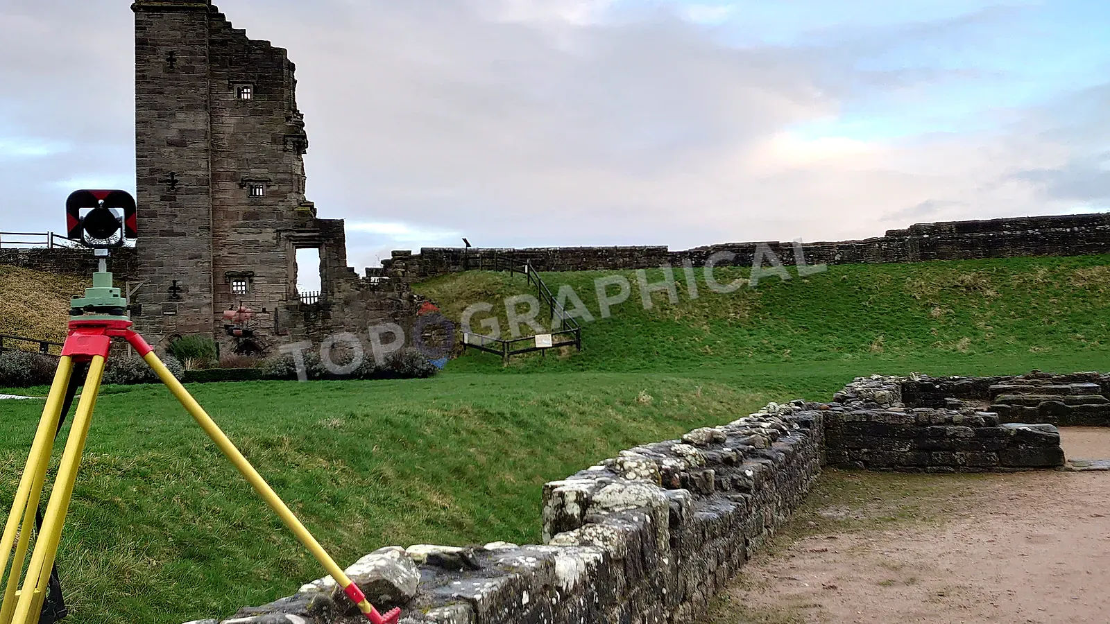
How to Minimise Topographic Land Survey Costs
How to brief a targeted topographic survey by defining the end use, coverage, detail zones, and avoidable site constraints.
To slash survey costs without sabotaging project data, communicate your exact end-use to the surveyor. Strip out unnecessary site coverage, zone your detail requirements, and clear site obstructions to secure a cheaper, targeted fixed-price quote.
Because the topographic survey typically accounts for less than one percent of total development expenditure, and because the consequences of an inadequate survey manifest only after architects, engineers, and planning consultants have committed tens of thousands in fees to drawings predicated on its accuracy, the procurement decision has historically defaulted to a comforting heuristic: commission everything, everywhere, to the most thorough specification your regular firm offers, and treat the invoice as insurance. Which, for clients whose budgets accommodate that logic, remains perfectly rational. This article is not for them.
This article is for the project manager staring at a site acquisition where the numbers only work if every line item earns its place, or the developer commissioning a survey whose sole immediate purpose is a planning submission on land that will be sold before a single foundation trench is dug. The objective here is not to make your survey cheaper in the way that buying a thinner rope makes abseiling cheaper; it is to strip away the expenditure that delivers no return for your specific use case while preserving the data that, if absent, will cost you multiples of the saving when someone downstream demands a re-survey.
1. Tell the surveyor what you are actually doing with the data
A surveyor operating without knowledge of your project's end-use will, if they are competent, default to the most conservative specification they can justify, because the reputational cost of under-delivery dwarfs the commercial risk of mild over-delivery. You pay for that conservatism.
If you possess the expertise to author your own survey specification (and genuinely understand how each downstream discipline consumes the dataset), write one. You will receive quotes scoped precisely to your requirements, and the surveyor can price with confidence rather than padding for ambiguity.
If you do not possess that expertise (and there is no professional shame in this, given that the intersection of planning, civil engineering, and geomatics is not a casual body of knowledge), then at minimum communicate: what you intend to build, the planning route you expect to follow, which consultants will consume the data, and at what design stage. A surveyor who has delivered fifty residential schemes can tell you instantly which specification elements are load-bearing for your scenario and which are vestigial habits inherited from a different project type. Deny them that context, and you are paying for their uncertainty.
Where possible, consult the professionals who will actually use the data before you procure it. The architect or civil engineer who receives a survey that omits the single corridor where they needed a cross-section will not congratulate you on your cost discipline.
2. Present a site that is ready to be surveyed, not excavated
When a surveyor prices a site and their desktop assessment reveals dense scrub where the boundary should be, fly-tipped waste concealing ground features, or head-height brambles across the area you have marked as "critical," the quote reflects the additional time they expect to spend fighting the site rather than measuring it. A surveyor who anticipates two days of fieldwork because of vegetation will quote for two days of fieldwork; a surveyor who can see from your photographs that the same site has been cleared will quote for one.
The data quality argument is equally blunt: an instrument cannot observe what debris or vegetation is hiding. Features get missed. Levels get interpolated rather than measured. The survey you receive from an obstructed site is, by physical necessity, less complete than the survey you would receive from a clear one, regardless of what the specification requested.
Clear the areas where data matters. If ecological constraints prevent clearance (nesting season, protected habitat), communicate that constraint in advance so the surveyor can plan methodology accordingly rather than discovering it upon arrival. If your site is already open, clean, and unobstructed, say so explicitly and provide photographs, because the surveyor's desktop assessment via satellite imagery may show historical vegetation that no longer exists, and their quote will reflect the difficulty they expect rather than the ease they would find.
Flexible access compounds this advantage. A surveyor whose schedule opens unexpectedly can slot your site in ahead of the original booking if access is unrestricted, which means you receive your data sooner without paying a premium for urgency.
3. Redraw the red line with a scalpel, not a highlighter
The instinct when briefing a topographic survey is to draw a generous boundary around "the site" and accept whatever that area costs. The problem is that topographic survey pricing is, at its core, a function of area and density, and the relationship between boundary position and cost is not linear in the way most clients assume. Moving a survey boundary five metres inward on all sides of a one-hectare site removes a strip of land that may contain hundreds of linear metres of hedgerow, fencing, and footpath detail that your project will never interact with.
Adjacent roads: Unless your scheme involves a new junction, bellmouth, or highway modification that requires accurate road geometry, the access road almost certainly does not need full topographic treatment. Ordnance Survey MasterMap or a basic GPS trace may suffice for your planning drawing at this stage.
Land outside the development footprint: Owning or optioning a parcel does not oblige you to survey all of it. If forty percent of the title is flood plain that will remain undeveloped, ask yourself whether you need anything more than a sparse grid of spot levels and a contour interpolation across that area. The answer is often no.
Identify what is genuinely developable and what is context, then price them differently.
Intelligent Survey Cost Management
| Approach | Standard "Full Topo" Method | The Targeted Cost-Saving Method |
|---|---|---|
| Survey Boundary | Entire legal title extent | Developable footprint plus necessary access |
| Feature Density | Uniform detail everywhere | Full detail on platform, sparse grid on periphery |
| Tree Constraints | Every tree mapped to BS 5837 | Only map trees with overlapping root protection zones |
| Site Readiness | Surveyor battles vegetation | Site pre-cleared for rapid line-of-sight capture |
4. Vary specification density across the site
A standard topographic survey specification applies uniform detail to the entire survey area, which is methodologically tidy and commercially convenient for the surveyor, but rarely reflects how the data will actually be consumed. Your architect may need tighter project-specific tolerances and comprehensive feature capture across the building footprint; they almost certainly do not need the same level of detail across a field three hundred metres from the nearest proposed structure.
Split your brief into zones:
- Zone A (development footprint): Full topographic detail. Every surface feature, every change in level, every tree stem with canopy spread and species.
- Zone B (context / flood plain / peripheral land): Spot levels on a relaxed grid, one-metre contour intervals, boundary features only.
This single structural decision can reduce the quoted cost by a quarter or more on sites where the developable area is a fraction of the total land holding.
Trees deserve specific mention. A full arboricultural survey-grade tree schedule (stem position, canopy spread to four cardinal points, species, height, stem diameter) is time-intensive. If the site contains two hundred trees but only fifteen fall within root-protection-zone distance of proposed works, surveying all two hundred to full specification is indefensible expenditure. Confirm which trees are protected (conservation area designation, TPO) or likely candidates for retention, and instruct accordingly.
Examine your surveyor's itemised specification. If "survey all street furniture within 50m of site" appears and your site is adjacent to a high street, that clause alone could add hours of fieldwork capturing lamp columns, bollards, and litter bins that no designer will ever reference.
5. Appoint competence, not just competitive pricing
The arithmetic of the cheapest quote collapses the moment an engineer opens the survey data and discovers that levels are inconsistent, that a building has been plotted from a single face rather than fully dimensioned, or that the coordinate system is ambiguous. At that point, the project does not gain a saving; it gains a delay, a second survey invoice, and a design team whose trust in the base data is now permanently damaged.
RICS (Royal Institution of Chartered Surveyors) and CICES (Chartered Institution of Civil Engineering Surveyors) regulation exists precisely to provide a signal of baseline competence, professional indemnity insurance, and accountability. Firms displaying these affiliations without holding them do exist, and a thirty-second search of the RICS firm directory will distinguish the genuine from the fraudulent.
Request sample deliverables. If you are not the end user, forward those samples to whoever is and obtain written confirmation that the specification, symbology, and file format meet their working requirements before you award the contract. This five-minute exercise eliminates the single most common cause of post-delivery disputes.
6. Price the turnaround, not just the survey
A quote that is fifteen percent more expensive but delivers data two weeks sooner may, when you account for the design team sitting idle on payroll waiting for base information, represent the lowest total cost to the project. Conversely, if your programme has slack and the survey is not on the critical path, communicating that flexibility to the surveyor allows them to schedule your site in the gaps between time-pressured commissions, and a surveyor who can plan their programme efficiently around your flexible deadline will price accordingly.
State your actual deadline. If it is "as soon as possible," expect the quote to reflect the operational disruption that priority scheduling imposes. If it is "within six weeks, no particular rush," say so, and watch the quote tighten.
The surveyor who receives a brief that is spatially precise, contextually informed, physically accessible, and temporally flexible will return a fixed-price quote that reflects reduced risk and reduced ambiguity. Every pound removed from the survey cost by those means is a pound that was never purchasing useful data in the first place. Every pound removed by selecting an unqualified operator, or by omitting data that a downstream discipline requires, is a pound that will return as a multiple on re-survey day, accompanied by the specific variety of silence that project managers produce when explaining to their client why the programme has slipped by a fortnight because someone saved four hundred pounds on the topo.
Frequently Asked Questions (FAQ)
Why should I tell the surveyor what I'm building? Because a residential extension requires totally different feature capture than a 200-unit housing estate. If a surveyor understands your end-use, they can remove unnecessary specifications that pad the quote.
Can I just ask for a survey of the development footprint? Yes. You do not need to survey your entire title boundary. Trimming the survey area to just the developable footprint and access routes drastically reduces field time and cost.
How do I know if the surveyor is qualified? Verify their RICS or CICES chartership. Unregulated operators might be cheaper initially, but their data often fails downstream engineering checks, resulting in costly re-surveys.
Ready to brief a survey?
Draw your site, define the scope, and receive a fixed-price quote.
Start a Survey Quote