Architects: Stop Designing from Estate Agent Plans
Why inherited drawings, estate agent plans, and client sketches should be replaced with measured building survey data before design work starts.
Never design from inherited estate agent plans or unverified client sketches; they are diagrams, not measurements. Commissioning a measured building survey at RIBA Stage 0/1 is the only way to prevent compounding errors that manifest as costly redesigns, variation orders, and programme delays during the detail design stage.
Every architect reading this has, at some point in their career, opened a set of "existing drawings" provided by a client at project inception and experienced the specific cognitive dissonance that occurs when a document that appears to be measured information is, upon closer inspection, nothing of the sort. The floor plan that shows uniform 225mm wall thicknesses throughout a Victorian terrace (in which no two walls have ever been the same thickness since the day they were built). The elevation that shows symmetrical window openings (in a building where differential settlement has racked the facade 30mm from left to right). The section that shows a level floor (above a cellar where the joists have sagged 45mm at mid-span since 1890).
These drawings are not data. They are assumptions committed to paper by someone (a previous architect, an estate agent's floor plan service, a well-meaning client with a tape measure and a copy of SketchUp) and then transmitted forward through the project supply chain with the implicit authority of "existing information," despite having no stated accuracy, no datum, no date of capture, and no professional indemnity backing up their content.
We know this frustrates you. It frustrates us too. Here is why it happens, what it costs, and what the fix looks like.
Why the base data is usually wrong
Estate agent floor plans exist to sell properties. They are produced to a tolerance appropriate for marketing (is the living room roughly this shape? does the layout flow approximately like this?) rather than design. They are drawn to no stated scale, carry no accuracy guarantee, and typically ignore wall thicknesses entirely, rendering every partition as a single line of uniform weight. An architect who attempts to design from one is designing from a diagram, not a measurement.
Previous architects' drawings may appear more authoritative (they have a title block, a scale bar, and professional formatting) but unless you can verify that they were produced from a measured survey commissioned for that specific project, they may represent either original design intent (what was drawn for planning, not what was built) or a previous survey of unknown date, accuracy, and scope (do they reflect the building as it is now, or as it was before the 2003 extension?).
Client-provided measurements (tape measure, laser measure, hand-drawn sketch) are often dimensionally useful at room scale but lack the spatial coordination that allows individual room measurements to cohere into a whole-building plan. The room is 4.2m wide. The corridor is 1.1m wide. But the cumulative width from party wall to party wall, accounting for all partition thicknesses and construction tolerances, does not add up to what the tape says it should, because each measurement was taken independently and the errors accumulate.
What it costs when the base data is wrong
The cost is not immediate. At concept stage, when you are testing layouts and proportions, an approximate existing plan may be adequate. The cost arrives at detail design stage, when:
- Joinery is dimensioned to openings that are 15mm narrower than drawn
- Structural steelwork is specified to span a distance 40mm greater than actual
- Kitchen layouts are designed to fit a room that is 80mm shorter on one axis than the plan shows
- Floor-to-ceiling heights assumed from the "existing section" prove to be 60mm lower, invalidating the services zone above the proposed suspended ceiling
- Planning drawings submitted as "existing and proposed" show an "existing" that doesn't match reality, and the proposed works therefore misrepresent their relationship to the actual building
At that point, the cost is redesign time (yours), re-ordering time (the contractor's), programme delay (the client's), and (in the worst cases) variation orders for work already constructed to drawings that described a different building.
What a measured building survey gives you
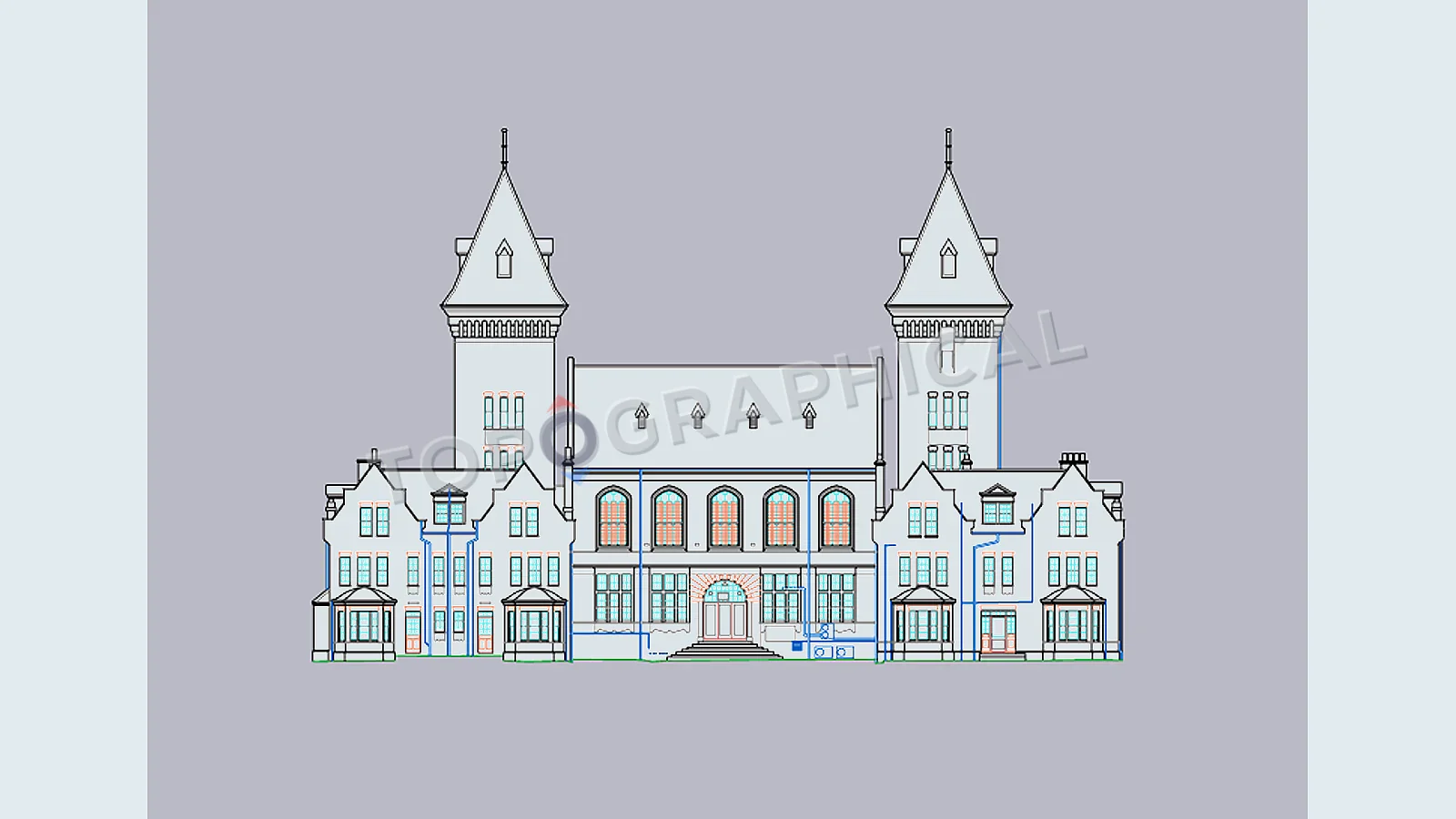
A measured building survey, produced from a laser-scanned point cloud, gives you the building as it actually is: every wall thickness measured (not assumed), every opening sized at its actual dimension (not its nominal), every floor level captured relative to a fixed datum (not inferred from a single measurement at the front door), and every deviation from geometric regularity recorded rather than averaged away.
The deliverable is a set of 2D CAD drawings (floor plans, elevations, sections) produced to the conventions and layer standards you specify, derived from a three-dimensional dataset that contains the answer to every dimensional question the project might subsequently ask. If the services engineer needs a soffit level that was not in the original brief, it exists in the point cloud. If the structural engineer needs a wall thickness at a location that was not originally sectioned, it exists in the point cloud. The survey is captured once; the information is extracted as many times as the project requires.
The RIBA Stage 0/1 argument
In the RIBA Plan of Work 2020, the measured survey sits at Stage 0 (Strategic Definition) or Stage 1 (Preparation and Briefing). It is a Week 1 activity. The design cannot begin without it, in the same way that a diagnosis cannot begin without examination. This is not bureaucratic sequencing; it is logical dependency. You cannot design a response to existing conditions that you have not measured.
Every week of design work conducted against unverified base information is a week of design work that carries the risk of revision once reality is established. The survey costs the same whether it is commissioned at Week 1 or Week 12. The consequences of commissioning it at Week 12 (when three months of design development must be verified against measured data and potentially revised) are not comparable to the consequences of commissioning it at Week 1 (when the design grows from measured foundations and requires no subsequent reconciliation).
What You Actually Receive: Inherited vs. Surveyed Data
| Data Source | Stated Tolerance | Verification | Typical Project Risk Level |
|---|---|---|---|
| Estate Agent Plans | None (marketing purposes only) | Unverified | Critical (High risk of cumulative spatial error) |
| Previous Architect CAD | Unknown (often design intent, not as-built) | Unknown | High (Dependent on construction stage updates) |
| Client Tape Measure | Room-scale only (no whole-building coordination) | Single datum | Moderate to High (Errors compound across walls) |
| Laser-Scanned Survey | Millimetre-level (survey grade) | Absolute datum (coordinated point cloud) | Zero (A factual representation of existing geometry) |
What we need from you to quote
- The building address (or location, for buildings without a postal address)
- The scope: which floors, which areas, internal only or internal plus external
- The purpose: what you are designing (this determines the level of detail appropriate for the specification)
- Your preferred deliverable format: DWG version, layer naming conventions if you have them, required scale
- Any access constraints: occupied building, tenant coordination, security, listed building status
From that information, we provide a fixed-price quote for a defined deliverable, with a stated turnaround. The price does not change once agreed. The deliverable matches the specification. The data is accurate to survey grade. And the drawings you receive are the drawings you can design from without the nagging suspicion that the wall you are relying on for structural support might not be where the previous architect drew it.
The shared interest
We are not suggesting that architects cannot measure buildings. Many can, and do, for simple projects where the scope is limited. We are suggesting that for any project where the complexity, scale, or accuracy requirement exceeds what a tape measure and a laser disto can reliably provide (basements, multi-storey buildings, listed buildings, buildings with significant deformation, buildings where the existing drawings are absent or untrustworthy), the measured building survey is not an optional luxury. It is the professional foundation on which good design is built, and commissioning it early is the single most efficient thing you can do to protect your design programme from the specific category of surprise that occurs when the building turns out not to be the shape everyone assumed it was.
Frequently Asked Questions (FAQ)
Why can't I just use the estate agent's floor plan for initial concept design? Because estate agent plans ignore wall thicknesses and structural deviations, meaning the spatial envelope you are testing concepts within is fundamentally incorrect. Concepts that appear to work on paper will fail when applied to true dimensions.
Can't we just measure the critical dimensions ourselves? While hand-measuring a single room is feasible, measuring a multi-storey or complex building with a tape and laser disto introduces compounding errors. Without a coordinated point cloud, individual room measurements will not cohere into an accurate whole-building plan.
When is the best time to commission a measured building survey? At RIBA Stage 0 (Strategic Definition) or Stage 1 (Preparation and Briefing). Designing against unverified data guarantees revision; designing against measured data provides a permanent spatial foundation.
Ready to brief a survey?
Draw your site, define the scope, and receive a fixed-price quote.
Start a Survey Quote