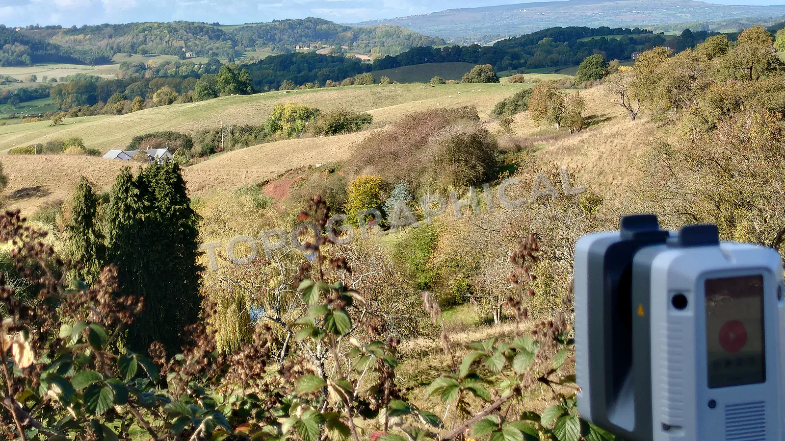
What Is a Topographical Land Survey?
A practical guide to what a topographical survey measures, when it is needed, and what clients receive from the finished drawing.
A topographical survey is a measured record of a site. It shows the levels, visible features, structures, hardstanding, vegetation, drainage features, access points, and other details that a design or planning team needs before work can move forward with confidence.
The finished drawing is not just a picture of the land. It is a technical base for architects, engineers, planning consultants, contractors, and developers who need to understand the site before committing design time, planning submissions, budgets, or construction sequencing.
What gets measured
The scope depends on the site and the intended use, but a typical topographical survey can include ground levels, boundary features visible on site, buildings, kerbs, walls, fences, trees, channels, inspection covers, overhead features, and surrounding context where it affects the design. On larger or awkward sites, additional capture methods may support the fieldwork so the drawing covers the right area efficiently.
The important word is measured. A topographical survey should give the design team coordinates, levels, linework, and notes that can be trusted as a project base. It should also make limitations clear, such as inaccessible areas, dense vegetation, restricted views, or features that were not visible at the time of survey.
When you need one
A survey is usually needed before a planning application, feasibility study, drainage design, access review, extension design, site acquisition review, or construction package. It is especially useful when the site has level changes, unclear edges, existing structures, retained trees, tight access, or several consultants working from the same base information.
Commissioning early can prevent wasted design time. If the drawing arrives after design work has started, the team may discover that levels, access, site features, or constraints do not match early assumptions. A clear brief at the start is usually cheaper than redesign later.
What you receive
The deliverable is normally a measured drawing, with the exact format and detail level agreed before quote. The drawing should be suitable for the intended use, whether that is planning, design, tender, or construction coordination. Some projects also need additional notes, survey control information, sections, quantity information, or a combined scope with measured building survey work.
A good quote request explains the site boundary, the reason for the survey, the outputs required, the deadline, and any access constraints. Existing drawings, planning sketches, estate plans, photos, or written scope notes can all help the survey team quote honestly.
Ready to brief a survey?
Draw your site, define the scope, and receive a fixed-price quote.
Start a Survey Quote