AI, Automation, and Point Cloud Surveying
What automation changes in point cloud processing, and why surveyor judgement, field decisions, QA, and liability still matter.
Artificial Intelligence is revolutionising surveying by automating point cloud classification and feature extraction. While AI slashes office processing time by up to 80%, professional surveyors remain essential for field judgements, complex QA, and absorbing professional liability.
For approximately thirty years, the surveying industry's relationship with automation has followed a consistent pattern: instruments get faster, datasets get larger, and the bottleneck migrates from field capture to office processing, where a human still sits in front of a screen, interpreting raw measurements into deliverables that another human can use. Total stations replaced theodolites and steel tapes. GPS replaced traversing for control. Laser scanners replaced total stations for building capture. At every stage, the field operation accelerated dramatically, and at every stage, the office work (the interpretation, the drafting, the quality assurance) remained stubbornly manual, absorbing whatever time the faster capture had liberated.
Artificial intelligence, and specifically the deep learning architectures that have matured since roughly 2020, represents the first credible threat to that bottleneck. Not because the technology is new (neural networks for point cloud classification have existed in academic literature for a decade), but because it has now reached the threshold where commercial software vendors are embedding it in production tools that practising surveyors actually use, and the results are accurate enough to change workflows rather than merely demonstrate concepts.
Where AI is already working (not theoretically, commercially)
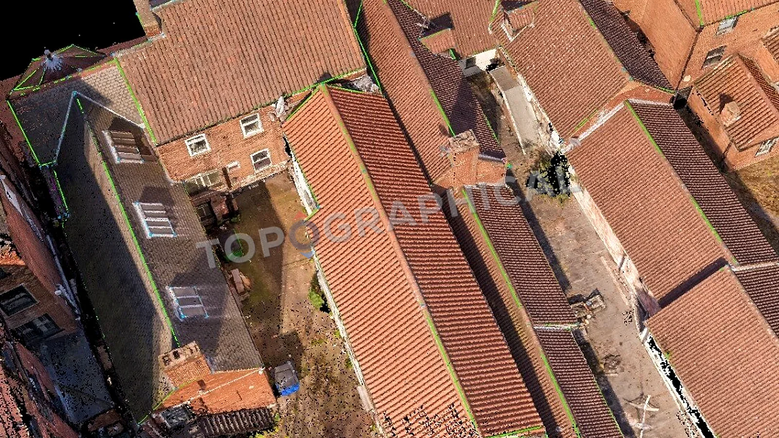
Point cloud classification is the most mature application. Trimble Business Centre, Leica Cyclone, and several specialist packages now offer automated classification of terrestrial and mobile mapping point clouds: identifying which points represent ground, vegetation, buildings, poles, signs, vehicles, and other feature categories, then tagging them accordingly. The underlying models (typically 3D deep learning semantic segmentation networks trained on geographically diverse datasets) achieve classification accuracies above 95% on well-conditioned data, which is sufficient to eliminate the manual classification step for the majority of standard scenarios and reduce it to a QA review for edge cases.
Feature extraction from classified point clouds is the next layer. Once the system knows which points represent a pole, it can extract that pole's position, height, and diameter as a discrete feature with attributes, without a human tracing it. Trimble's automated extraction tools now handle poles, signs, trees (stem position and diameter), kerb lines, and road markings with minimal user interaction. The output is not a rough approximation; it is survey-grade positional data extracted algorithmically from the same point cloud that a human would previously have spent hours digitising manually.
Photogrammetric processing (the computation of 3D models and point clouds from overlapping photographs, including drone imagery) has been heavily automated by machine learning for several years. Structure-from-motion algorithms now use learned feature matching that is more robust to texture variation, lighting change, and repetitive patterns than the handcrafted descriptors they replaced. The user experience has shifted from "run the processing and hope it works" to "run the processing and it works," which is a less dramatic headline but a genuine operational improvement.
Surveying AI: Current Capabilities vs. Future Horizons
| Automation Area | Current Commercial Status | 5-Year Horizon |
|---|---|---|
| Point Cloud Classification | Mature (95%+ accuracy for basic categories) | Zero manual classification required |
| Feature Extraction | Routine for poles, signs, trees, and kerbs | Automated CAD extraction for complex building geometry |
| Drawing Generation | AI-assisted scan-to-CAD (reduces tracing by 60%) | Near-autonomous drafting requiring only human QA |
| Quality Assurance | Manual visual checks | Algorithmic inconsistency detection across huge datasets |
Where AI is heading (and what "heading" means for a five-year horizon)
Automated drawing extraction from point clouds is the application with the most direct commercial relevance to measured building survey firms. Research frameworks (Scan2Plan, RoomFormer, and similar architectures) demonstrate end-to-end neural network pipelines that take a building point cloud as input and produce a structured floor plan as output, identifying walls, openings, and room topology without human intervention. Commercial tools (Nest3D and others) now offer AI-assisted scan-to-CAD workflows that reduce manual tracing by up to sixty percent.
The gap between "reduces manual effort by sixty percent" and "eliminates manual effort entirely" is, however, not a gap that will close in the next eighteen months. The reason is not computational; it is epistemological. A floor plan is not merely a geometric extraction. It is an interpretation: a decision about which surface represents the wall line, how to handle an undulating plaster face, whether a 20mm step in the floor is a feature to be drawn or noise to be averaged, and where the section cut sits to best describe the space. These are professional judgements, and while AI can propose answers (and increasingly proposes correct ones), the liability for the deliverable's accuracy remains with the surveyor whose name is on it. The technology becomes an assistant that handles the routine eighty percent, leaving the surveyor to adjudicate the ambiguous twenty percent, rather than a replacement that renders the surveyor unnecessary.
Specification interpretation (the automated parsing of a client brief into a capture methodology and deliverable structure) is a large language model application that no vendor has yet commercialised for surveying, but which is technically feasible today. A system that reads a client's email, identifies the site area from an attached plan, cross-references the stated purpose against a library of standard specifications, and generates a quote with a draft methodology, is not science fiction. It is a moderately complex integration exercise that someone will ship within three years.
Quality assurance is perhaps the most underestimated application. Checking a completed survey for internal consistency (do levels along a kerb line maintain a plausible gradient? do building corners form geometrically coherent shapes? are there gaps in coverage that indicate missed areas?) is currently a manual review performed by an experienced surveyor. It is also precisely the kind of pattern-recognition task that trained models excel at, and the cost of a missed error (a re-survey) is high enough that even imperfect automated QA adds value.
What AI will not replace (and why)
Field methodology. The decision of where to place a scanner, how to establish control in a challenging environment, whether to use a drone or a terrestrial approach, how to handle access constraints, security requirements, live traffic, and occupied buildings: these are physical, situational judgements that require a human who is present, experienced, and accountable. No model trained on point cloud data possesses the spatial reasoning to decide that the scanner cannot be placed in a given location because the floor is unsafe, or that the drone cannot fly because the wind exceeds the aircraft's operational limit, or that the survey must be phased because the client's tenant has refused access to the third floor until next Tuesday.
Client relationships and professional advice. The surveyor's role includes explaining to clients what they need (which is often different from what they asked for), advising on specification, coordinating with other disciplines, and providing professional indemnity insurance that backstops the accuracy of the deliverable. These functions are not automatable because they are not computational. They are relational, advisory, and legal.
Accountability for the deliverable. An AI that produces an incorrect floor plan has no professional standing, no insurance policy, and no regulator to discipline it. The surveyor who signs off that floor plan (whether they drew it manually or reviewed an AI-generated draft) carries the liability. This structural fact means that AI accelerates the surveyor's output but does not remove the surveyor from the chain of responsibility.
The honest position
AI will, within five years, reduce the office processing time for a standard measured building survey by somewhere between fifty and eighty percent. It will automate point cloud classification to the point where manual classification is an exception rather than a routine step. It will generate draft floor plans that require review and correction rather than creation from scratch. It will make individual surveyors more productive, which means either more output per person or fewer people for the same output, depending on whether demand grows to absorb the additional capacity.
What it will not do is produce a surveying industry without surveyors. The field operation remains human. The professional judgement remains human. The liability remains human. The client relationship remains human. What changes is the ratio of time spent capturing data to time spent converting it into deliverables, and that ratio shifts dramatically in favour of the activity that AI cannot perform: being physically present, making situated decisions, and taking professional responsibility for the result.
The machine sees the point cloud now. What it does not see is the client's brief, the site's access constraints, the planning officer's likely objections, or the architect's unstated preference for how the section cut should fall. Those remain, for the foreseeable future, ours.
Frequently Asked Questions (FAQ)
Is AI replacing land and building surveyors? No. AI automates the tedious office processing and feature extraction, but it cannot make situational field judgements, negotiate site access, or hold the professional indemnity insurance required for legal liability.
How does AI work with laser scanning point clouds? Modern deep learning models can semantically segment 3D point clouds, automatically identifying which data points represent the ground, buildings, or vegetation with over 95% accuracy.
What does this mean for the end client? Faster turnaround times. As AI reduces office processing time by 50-80%, surveyors can deliver highly complex 3D models and 2D CAD extractions much faster, without sacrificing professional oversight.
Ready to brief a survey?
Draw your site, define the scope, and receive a fixed-price quote.
Start a Survey Quote