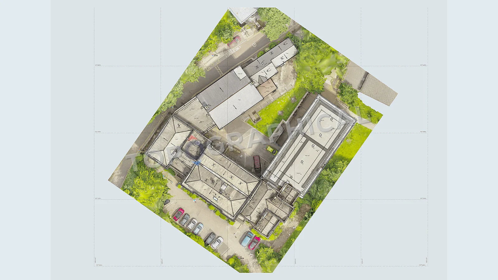
When Drone Capture Helps a Topographical Survey
When aerial capture supports a topographical survey, and why it should be scoped around the finished deliverable.
Aerial capture can be useful on larger, open, awkward, or visually complex sites. It can help record rooflines, stockpiles, earthworks, broad site context, or areas where ground measurement alone would be inefficient. But it should support the survey output, not replace a properly scoped brief.
Clients often ask for a drone survey because they want speed or coverage. The better question is what the project needs to receive at the end: a topographical drawing, quantity information, site context, roof information, or a combined package.
Good uses
Drone capture can help where the site is broad, open, difficult to walk in full, or easier to understand from above. It can also support progress context, stockpile review, or visual records when paired with measured survey work.
It is less useful when the challenge is dense detail under trees, inside buildings, under canopies, or in places where linework and levels need close ground observation. In those cases, aerial capture may be only one part of the method.
Permission, safety, and scope
Aerial work needs suitable conditions, safe operation, and a scope that justifies it. Weather, site surroundings, nearby people, and access restrictions can all affect whether it is appropriate. A responsible survey team will advise when it helps and when another method is better.
The quote should make clear what the aerial work contributes to the deliverable. Pretty images are not the same as a survey drawing.
How to brief it
Explain the site area, the features you need, any access limits, and the decision the survey will support. If aerial capture is useful, the team can include it in the method. If not, the quote can focus on the measured work that will actually help the project.
Ready to brief a survey?
Draw your site, define the scope, and receive a fixed-price quote.
Start a Survey Quote