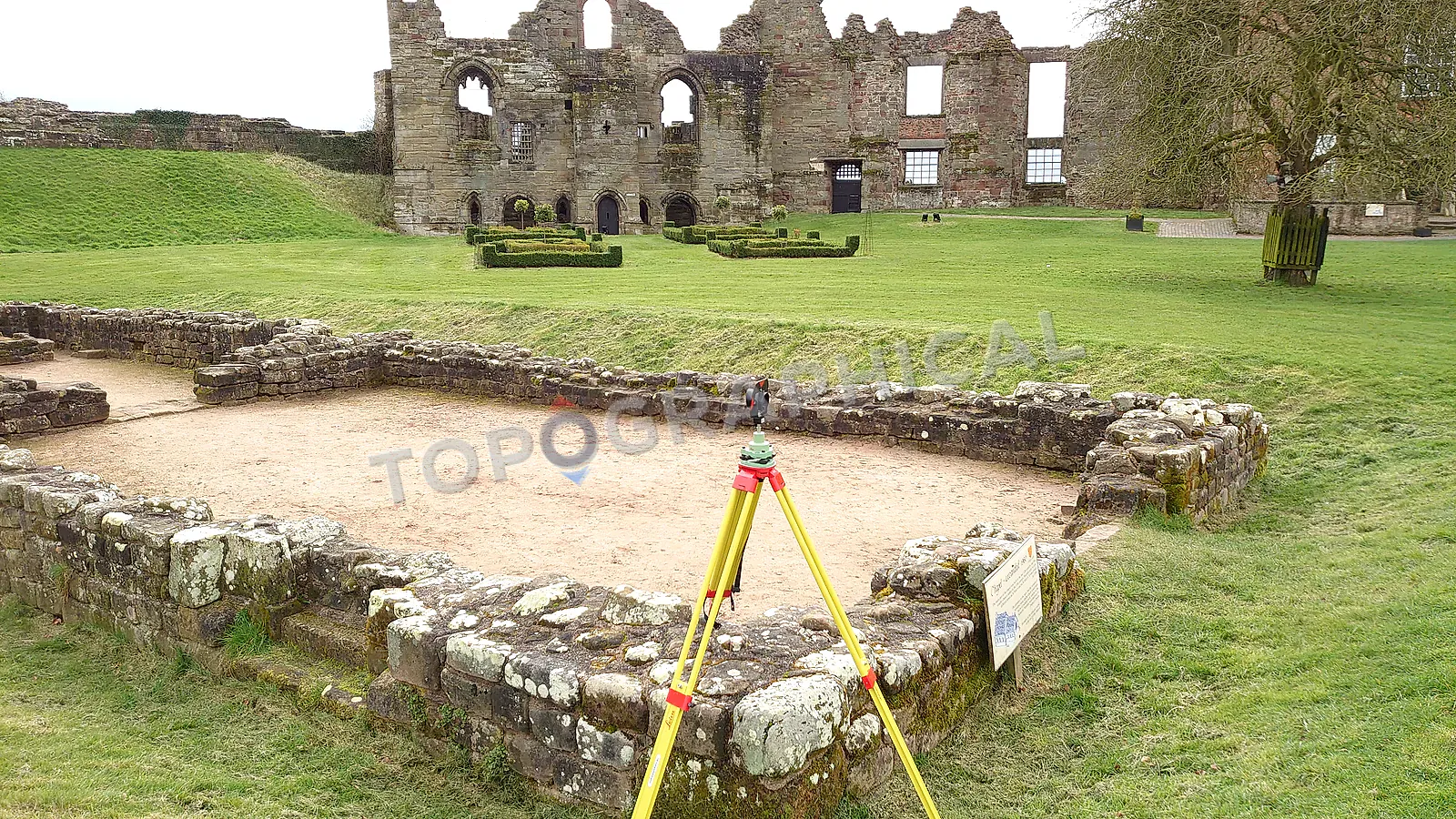
Measured Building Surveys for Listed Buildings
Why heritage buildings need careful measured survey work that records irregularity, deformation, and fabric without tidying away evidence.
Heritage buildings are fundamentally irregular, meaning standard surveys that "tidy" variations destroy crucial historical evidence. Terrestrial laser scanning is the only non-contact method capable of recording the complex deformations required for listed building consent.
A listed building, by definition, is a structure whose significance resides in its physical fabric, and any proposal to alter that fabric requires the applicant to demonstrate, to the satisfaction of both the local conservation officer and Historic England (where the building is Grade I or II*), that they understand what exists before they explain what they intend to change. The instrument for that demonstration is a measured building survey, and the standard to which it must be executed is, for heritage applications, materially higher than for a standard residential refurbishment, because the consequence of inaccuracy is not merely a design coordination problem. It is the potential loss of irreplaceable historic material through works based on drawings that misrepresent the building they purport to describe.
Why heritage surveys differ from standard measured building surveys
A standard measured building survey captures the geometry of a building: wall positions, openings, floor levels, ceiling heights, and the spatial relationships between rooms. It is a dimensional record. For a modern building of regular construction, this is largely what the architect requires to begin design.
A heritage building is not regular. Walls are not plumb. Floors are not level. No two window openings are the same size. Timber frames have racked. Stone walls vary in thickness by 100mm or more across a single elevation. Plaster surfaces undulate. And every one of these irregularities is, potentially, evidence: of original construction method, of historical alteration, of structural movement, of phased development that the architectural historian needs to read from the fabric as though it were text.
A survey that "tidies" these irregularities (that averages a wall to a straight line, that regularises window openings to a nominal dimension, that presents a floor as level when it falls 40mm across its width) is not merely inaccurate. It has destroyed information. The conservation architect looking at a plan that shows uniform wall thicknesses cannot identify where a later partition was inserted. The structural engineer looking at a section that shows a level floor cannot identify where the joists have sagged over a removed supporting wall.
The survey must, therefore, record the building as it is, including its deformations, and present them at a resolution that allows professional interpretation of what those deformations mean.
What Historic England expects
Historic England's Geospatial Survey Specifications for Cultural Heritage (now in its fourth edition) defines the standard for measured survey of heritage assets. The specification is structured around accuracy bands (analogous to RICS bands but with heritage-specific feature requirements) and covers:
- Laser scanning methodology, registration accuracy, and point cloud density
- Photogrammetric survey including drone capture for inaccessible elevations and roof structures
- Measured building survey deliverables (plans, sections, elevations) with specific requirements for feature representation
- Topographic survey of the building's landscape context and setting
For listed building consent applications, the local planning authority will typically require existing plans, elevations, and sections at 1:50, showing all elements proposed for alteration, with sufficient accuracy to enable the conservation officer to assess the impact of the proposed works on the building's significance.
The practical implication is that a survey for a heritage project must be commissioned to a specification that captures the actual geometry of the building (rather than an idealised version of it), at a scale and density that reveals the irregularities a conservation professional needs to see.
What laser scanning provides for heritage buildings
Terrestrial laser scanning is, for heritage buildings, not merely the most efficient capture method. It is often the only method that can record complex, irregular, and decorated surfaces at the density required for conservation analysis without physical contact with (and therefore risk of damage to) the historic fabric.
A scanner positioned in a room records every visible surface at millimetre intervals, including: the profile of mouldings, the irregularity of masonry courses, the deflection of structural timbers, the pattern of crack lines in plaster, and the positional relationship between decorative features that may have moved with the structure over centuries. This data persists in the point cloud as an objective, uninterpreted record that can be revisited at any project stage to answer questions that had not been anticipated at the time of survey.
For buildings where the significance lies partly in decorative plasterwork, carved stone, or timber detailing, the point cloud provides a record at a resolution that measured drawings cannot replicate, and that photographic documentation cannot dimension. It is simultaneously a dimensional record and a visual archive.
Surveying Heritage vs. Standard Buildings
| Survey Characteristic | Standard Measured Survey | Heritage Measured Survey (Point Cloud) |
|---|---|---|
| Structural Irregularities | Averaged out (plumb walls, level floors) | Preserved exactly (sagging joists, racked frames) |
| Capture Method | Contact methods (tape, disto) acceptable | Strict non-contact laser scanning (protects fabric) |
| Feature Resolution | Nominal window/door sizes | Precise capture of mouldings, masonry, and deformations |
| Historical Evidence | Lost during geometric "tidying" | Maintained as an objective, interrogatable 3D archive |
The deliverable for a heritage project
For a typical listed building consent application (say, an internal remodelling and rear extension to a Grade II listed Georgian townhouse), the survey deliverable might include:
- Floor plans at each level showing all walls, openings, fixtures, and floor level variations (not averaged)
- Elevations of all external faces showing fenestration, material changes, decorative features, and any visible structural deformation
- Sections through key spaces showing the vertical relationship between floors, structural zones, and ceiling profiles (including any visible deflection)
- Detailed drawings of specific features of significance (an ornate chimneypiece, a panelled room, a decorative ceiling) at larger scale where the application proposes works in their vicinity
All derived from a laser-scanned point cloud that the conservation architect, the structural engineer, and (if appointed) the archaeological consultant can interrogate throughout the project.
The non-contact advantage
Historic fabric is, by its nature, fragile, and survey methods that require physical contact with surfaces (tape measures pressed against limewash, staffs rested against eroded stonework, chalk marks on medieval timberwork) carry a risk of damage that is disproportionate to the measurement gained. Laser scanning is entirely non-contact. The instrument observes from a distance, recording surfaces without touching them, which makes it the appropriate technology for buildings where physical intervention of any kind requires justification.
This is not an abstract concern. Conservation officers have, correctly, questioned survey methodology that involves drilling fixing points into listed masonry for survey control targets. Adhesive targets on temporary mounts, or targetless registration using the building's own geometry, eliminate this issue entirely.
When to commission (and who should specify)
The survey should be commissioned before design begins (as with any building project), but for heritage applications specifically, the specification should be discussed with the conservation architect and the local authority conservation officer. Different authorities have different expectations for the level of existing information required to validate a listed building consent application, and a brief conversation at pre-application stage can prevent the scenario where a survey is delivered, found insufficient for the authority's requirements, and must be supplemented at additional cost and programme delay.
The conservation architect who has worked with the relevant authority before will know whether they expect stone-by-stone elevational recording, whether photographic documentation is required alongside measured drawings, and whether the heritage statement needs to reference specific survey evidence for its assessment of significance. That knowledge shapes the survey specification, and the survey specification shapes the fixed-price quote.
Commission early. Specify in consultation with the professionals who will use the data. Receive a record of the building that is accurate enough to support the argument you need to make.
Frequently Asked Questions (FAQ)
Why can't I use a standard measured building survey for a listed building? Standard surveys average out irregularities to create clean CAD geometry. In a heritage building, those irregularities (like sagging floors or varying wall thicknesses) are vital historical evidence that conservation officers need to assess structural impact.
Why is laser scanning preferred for heritage sites? It is completely non-contact. It records complex architectural details, mouldings, and structural deformations at millimetre resolution without risking physical damage to fragile historic fabric.
What does Historic England expect from a survey? They expect surveys to follow the Geospatial Survey Specifications for Cultural Heritage, which mandate capturing the actual geometry of the building without idealisation, ensuring all historic deformations are accurately represented.
Ready to brief a survey?
Draw your site, define the scope, and receive a fixed-price quote.
Start a Survey Quote