Understanding Land Tenure Before a Survey
A guide to ownership context, site extents, and why clear responsibility matters before briefing survey work.
Land tenure describes who owns, occupies, or has rights over land and buildings. It can shape access, responsibility, design limits, and what information the project team needs before commissioning a survey.
A measured survey records site features and conditions. It does not decide legal ownership. That distinction is important. Survey drawings can support a professional team, but legal boundary interpretation belongs with the appropriate legal adviser.
Why tenure matters to the brief
Before a surveyor attends, the team needs to know where they can go, who can grant access, and which areas are included. On some projects this is simple. On others, there may be leases, shared yards, rights of way, retained land, neighbouring structures, or multiple parties with different responsibilities.
If those questions are not answered early, the visit can miss areas or record more than the project needs. Both outcomes cost time.
What a survey can and cannot do
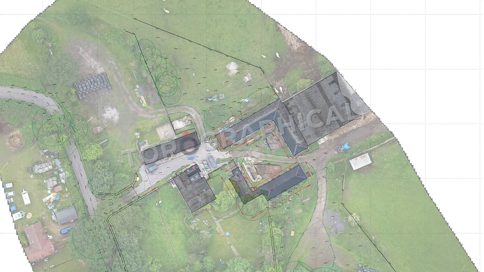
A survey can record visible boundary features such as walls, fences, kerbs, hedges, building lines, and occupation lines. It can show those features clearly on a drawing so the project team can compare them with other information.
It cannot decide that a fence is the legal boundary, prove ownership, or resolve a dispute. If that question matters, the measured drawing should be treated as evidence for the wider professional process, not the final answer.
What to provide
If you have a red line plan, lease plan, title plan, access agreement, planning drawing, or written instruction, upload it with the brief. Add notes about locked areas, tenants, neighbours, shared spaces, and any known uncertainty over the site extent.
That context helps the survey team quote the right area, plan access, and mark limitations honestly. It also helps the rest of the project team understand what the drawing is showing.
Legal extent and measured extent are different
A lease sets out rights and responsibilities that cannot be inferred from visible occupation alone. Read the government guidance on leaseholder responsibilities alongside the actual agreement and the legal adviser's instructions. Ask who can grant survey access to shared or tenanted areas.
For the measured record, mark the intended topographical survey extent. If the project also needs floor plans or shared internal areas, brief the measured building survey separately. A red line supplied for quoting defines the requested work; it is not our confirmation of a legal boundary.
Ready to brief a survey?
Draw your site, define the scope, and receive a fixed-price quote.
Start a Survey Quote