Topographical Surveys in South Yorkshire
A South Yorkshire topographical survey should give your architect or engineer a coordinated 2D plan and 3D model, measured for the design decision in front of them. We agree the boundary, detail, level density, access and file formats before giving you a fixed price.
Main centres
Sheffield, Doncaster, Rotherham, Barnsley
Common site mix
Valley-side development, former industrial land, active yards, urban infill and broad sites around Doncaster and Barnsley.
A South Yorkshire topographical survey should give your architect or engineer a coordinated 2D plan and 3D model, measured for the design decision in front of them. We agree the boundary, detail, level density, access and file formats before giving you a fixed price.
The ground questions change quickly across South Yorkshire. A steep Sheffield infill plot may need close levels through retaining walls and steps, while a Doncaster employment site may depend on long drainage falls, yard edges and a safe route around moving vehicles. Sheffield, Rotherham, Doncaster and Barnsley also publish their own planning material, so any authority request must be checked against the address and translated into a marked survey extent.
Measure for the design task
Tell us what will be designed from the survey. For a building extension, the architect may need thresholds, eaves, adjacent windows, boundary walls and enough neighbouring context to test the proposal. A drainage or highways engineer may instead need continuous levels along kerbs, channels, verges and visible chambers, plus a denser ground model across likely outfall routes. We can show visible cover positions on the plan, but that is different from investigating the network below ground.
South Yorkshire's planning evidence gives useful clues about the brief. Sheffield City Council publishes strategic flood and development-site evidence, and Barnsley Council's Local Plan sets the policy setting for development there. Mining Remediation Authority information and flood status are address-specific checks for the project team. They do not turn a topographical survey into a mining, flood-risk or planning report, but they may identify ground, drainage or boundary detail that the consultant wants measured.
Active yards, steep banks, vegetation, locked compounds and road frontages can break an otherwise continuous model. Before fieldwork we agree any traffic management, escorts, working hours and land permissions. If an area cannot be reached safely, we record the omission rather than drawing from assumption.
What the fixed price covers
Our quotation states the measured extent, features, level detail, site attendance and deliverables. The standard handover is a coordinated 2D plan and 3D model in the agreed CAD formats, with PDF sheets where requested. It also states the survey control and coordinate basis, so the next consultant knows what the files relate to.
We do not lift covers, measure inverts, trace buried utilities, carry out GPR or CCTV drainage surveys, or provide planning advice. If your engineer needs any of those investigations, tell us at enquiry stage and we can keep the survey brief compatible with their separate work.
What to send us
Send the site address, a marked boundary, the intended use, your architect's or engineer's survey specification, required formats and target date. Add any existing CAD, title or planning plan, access contact, known hazards, restricted areas and information about live operations. A short note identifying the proposed entrance, drainage route or section line is often more useful than asking for "all detail".
Local references
We last checked these sources in July 2026. Planning guidance changes, so please send us the latest brief from your architect or consultant and we will price the right survey for your site.
- Sheffield city-wide planning evidence (opens in a new tab)
- Rotherham planning application information (opens in a new tab)
- Doncaster planning application requirements (opens in a new tab)
- Barnsley Local Plan (opens in a new tab)
- Mining Remediation Authority planning guidance (opens in a new tab)
- Environment Agency Flood Map for Planning (opens in a new tab)
Survey control
Drone capture
Surface and volume models
Example deliverable
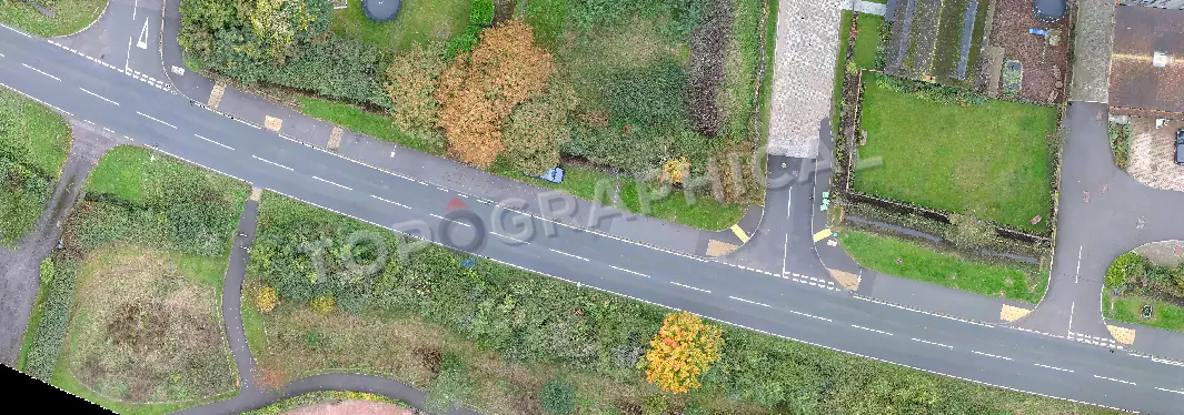
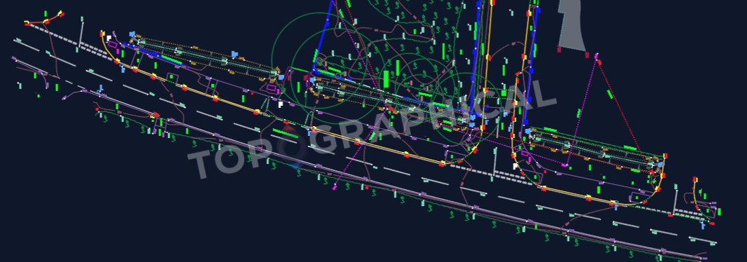
From measured site to topographical drawing
Level continuity matters along the full route
Carriageway edges, tie-ins, roadside features and levels stay within one connected dataset, so local detail keeps its measured position along the route.