Topographical Surveys in Derbyshire
Steep streets, retaining walls and former mineral land can make a Derbyshire survey boundary look simpler on paper than it is on the ground. We agree the site extent, survey control, levels, coordinated 2D plan, 3D model and fixed price before fieldwork.
Main centres
Derby, Chesterfield, Buxton, Matlock
Common site mix
Market towns, steep village streets, edge-of-peak slopes, quarry approaches, and redevelopment plots.
Steep streets, retaining walls and former mineral land can make a Derbyshire survey boundary look simpler on paper than it is on the ground. We agree the site extent, survey control, levels, coordinated 2D plan, 3D model and fixed price before fieldwork.
Let slope and access set the scope
A Buxton plot can need dense breaklines through a steep approach. Matlock retaining walls may require levels at the top and bottom, with enough adjoining ground to explain the change. A live quarry approach, fenced industrial site or rural holding can make safe access and intervisibility more important than the area inside the red line. Tell us about locked gates, working hours, traffic rules, animals, dense vegetation and any off-site detail that depends on a neighbour's permission.
On quarry, limestone or former mining land, we record visible slopes, faces, depressions, retaining features and supplied specialist markers. We do not infer underground workings, contamination, subsidence or ground stability from surface shape.
Levels, routes and mineral ground
For flood-sensitive work, Derbyshire County Council is the Lead Local Flood Authority for local sources while the Environment Agency covers main rivers. If the drainage engineer needs a continuous level route from thresholds through kerbs, channels, ditches, watercourse banks or visible outfalls, that route belongs in the brief. A topographical survey records the requested geometry; it is not a flood-risk assessment or drainage design.
The county's definitive map is the legal record for public rights of way. We can survey visible path edges, gates, stiles, gradients and crossings where these matter to the design, but our drawing does not establish legal alignment or status.
Put the live planning request into the brief
Derbyshire County Council, Derby City Council, the district and borough councils, and the Peak District National Park Authority have different planning duties. The National Park Authority deals with applications inside the park; the county deals with minerals and waste outside it; Derby City and the districts determine most other development. For the survey buyer, the consequence is practical: use the authority and consultant request for this address, not a generic county checklist.
A Derby City request may call for particular existing levels or streetscene information. A consultant working in the Peak District may need a wider record of walls, trees, rooflines or the relationship to the road. We do not decide which policy applies. We make the measured extent match the current written requirement.
What the fixed price covers
The fixed price covers the agreed field extent, survey control on the stated coordinate system and datum, and the visible surface detail listed in the quotation. The deliverables are a coordinated 2D plan and 3D model in the agreed formats, with ground levels, breaklines, hard surfaces, buildings, visible boundaries, trees and any specifically commissioned highway or watercourse detail.
It does not include lifting covers, measuring inverts, tracing utilities, GPR, CCTV, planning advice or legal boundary determination. Visible covers can be plotted at surface level when requested. Anything below ground or behind a closed cover needs a separate specialist instruction.
What to send us
Send the full address, marked survey boundary, intended use, architect's or engineer's specification, required file formats, coordinate and datum requirements, access contact and deadline. Include any previous CAD, title information or authority request that explains why adjoining road, drainage or route detail is needed. We will return a quotation that names the measured extent, outputs, assumptions, exclusions and fixed price.
Local references
We last checked these sources in July 2026. Planning guidance changes, so please send us the latest brief from your architect or consultant and we will price the right survey for your site.
- Derbyshire local government reorganisation (opens in a new tab)
- Derbyshire planning policy responsibilities (opens in a new tab)
- Derbyshire flood risk responsibilities (opens in a new tab)
- Derbyshire mineral and waste development (opens in a new tab)
- Derbyshire definitive map and statement (opens in a new tab)
- Peak District planning authority (opens in a new tab)
- Derby City planning application requirements (opens in a new tab)
Survey control
Drone capture
Surface and volume models
Example deliverable
From measured site to topographical drawing
Survey the junction, not just the strip
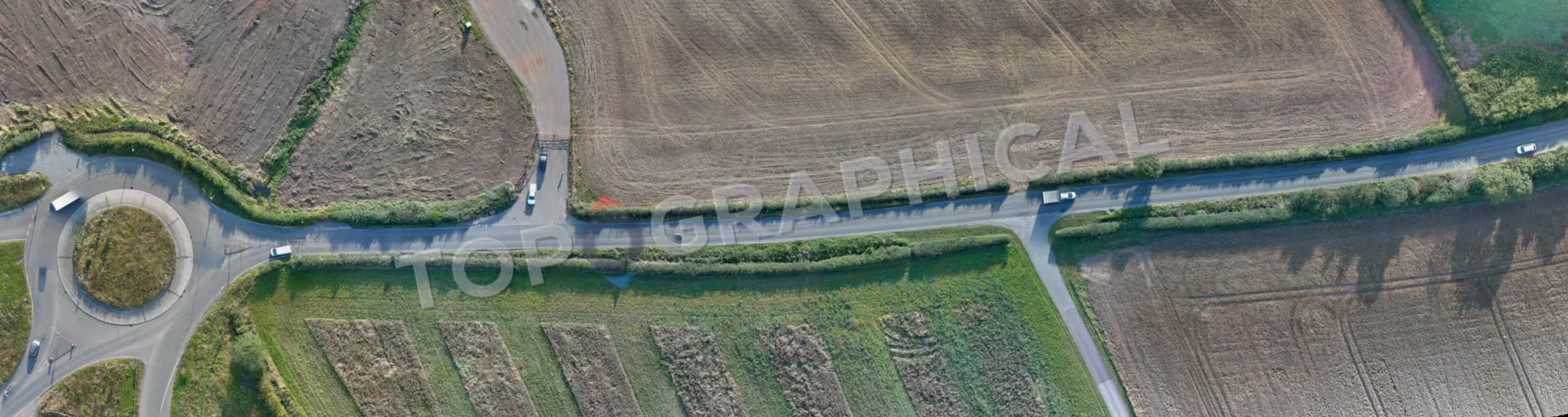
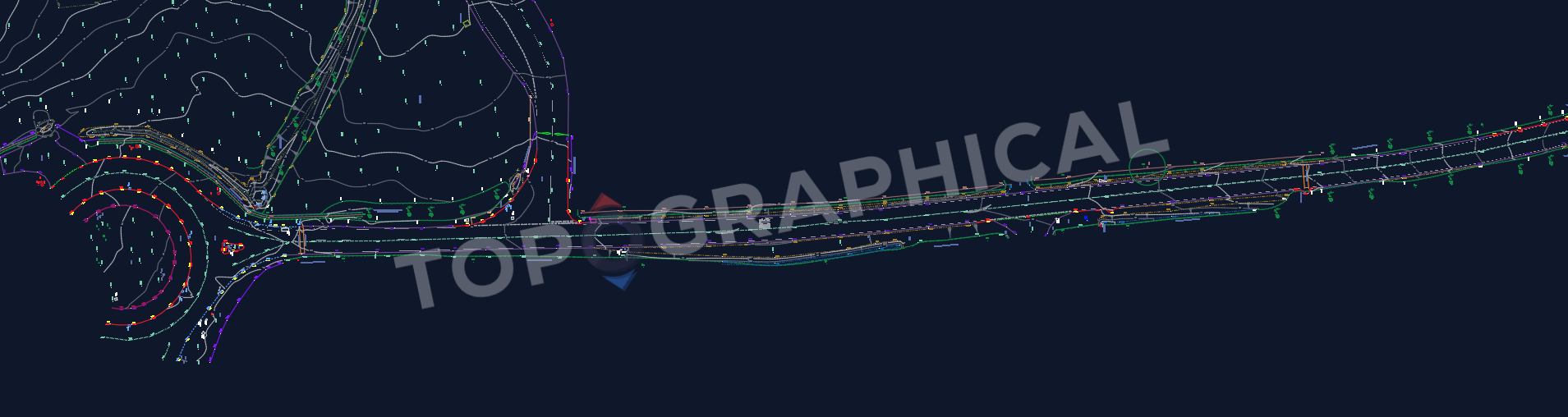
Carriageway edges, kerbs, verges, junction geometry, visible covers and levels remain connected along the route, giving the highway designer measured tie-ins at both ends.