Topographical Surveys in Oxfordshire
An Oxfordshire topographical survey may need to resolve a cramped city frontage, a market-town development parcel or the shallow fall across a river-valley site. We define the measured extent, coordinated 2D plan, 3D model, access and fixed price before fieldwork begins.
Main centres
Oxford, Banbury, Bicester, Witney
Common site mix
University and city sites, market towns, rural estates, village plots, and constrained residential properties.
An Oxfordshire topographical survey may need to resolve a cramped city frontage, a market-town development parcel or the shallow fall across a river-valley site. We define the measured extent, coordinated 2D plan, 3D model, access and fixed price before fieldwork begins.
Five planning authorities, separate requirements
Oxford City Council, Cherwell District Council, South Oxfordshire District Council, Vale of White Horse District Council and West Oxfordshire District Council decide most local planning applications in the county. Their validation pages do not create one standard "Oxfordshire survey". The architect or consultant must identify the current requirements for the address and tell us whether the submission needs levels, site sections, trees, access geometry, drainage detail or context outside the application area.
That distinction is practical. A city plot in Oxford may need thresholds, boundary faces, adjoining buildings and highway detail measured within a narrow working space. Around Banbury or Bicester, the brief may concern a larger housing or commercial parcel where survey control, breaklines and tie-ins between phases matter. Near Witney, village plots and rural edges can include banks, walls, ditches and vegetation limits that must be named if they influence the design.
Rivers and highways need an explicit brief
The Thames, Cherwell and Windrush valleys create level and drainage questions across different parts of Oxfordshire. Oxfordshire County Council acts as Lead Local Flood Authority for surface-water drainage on major development. Where a drainage or flood consultant needs evidence, the survey can include continuous levels between thresholds, low points, banks, ditch lines and visible outfalls across the agreed area. The consultant remains responsible for choosing the datum, study extent and assessment method.
The county's highway records need separate care. Oxfordshire County Council says its highway search plans show the general highway boundary and that more research may be needed for rural, large or historically complex areas. We measure visible kerbs, verges, fences, walls, ditches and other physical features. We do not turn those observations into a legal highway extent. If the access design depends on adopted land, obtain a current highway search and give it to the designer alongside the survey.
What the fixed price covers
- A coordinated 2D topographical plan and 3D terrain model in the agreed file formats.
- The stated survey boundary, coordinate system, level datum, accuracy and delivery programme.
- Ground levels, breaklines, buildings, hard surfaces, visible boundaries, trees and specified drainage or street detail.
- Agreed frontage or adjoining context where access, safety, permission and line of sight allow it to be measured.
Visible service-cover positions and top levels can be recorded when requested. We do not lift covers, measure inverts, trace utilities, carry out GPR or CCTV drainage work, determine legal boundaries, prepare flood assessments or make below-ground inferences.
What to send us
Send the site address, an extent drawing, the intended use, required DWG or other formats, access arrangements, site contacts and the latest consultant brief. Include any drainage strategy, highway search, visibility drawing or authority note that defines measurements beyond the obvious property edge.
The quote will name the deliverables, assumptions, exclusions and delivery date. The price is fixed before instruction.
Local references
We last checked these sources in July 2026. Planning guidance changes, so please send us the latest brief from your architect or consultant and we will price the right survey for your site.
- Oxford City planning application guidance (opens in a new tab)
- Cherwell planning application guidance (opens in a new tab)
- South Oxfordshire validation checklists (opens in a new tab)
- West Oxfordshire planning application information (opens in a new tab)
- Oxfordshire surface-water planning advice (opens in a new tab)
- Oxfordshire highway searches (opens in a new tab)
- Environment Agency Flood Map for Planning (opens in a new tab)
Survey control
Drone capture
Surface and volume models
Example deliverable
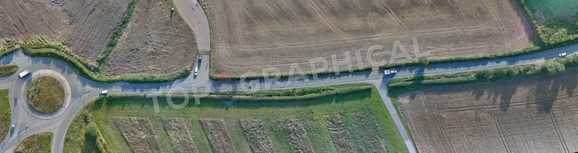
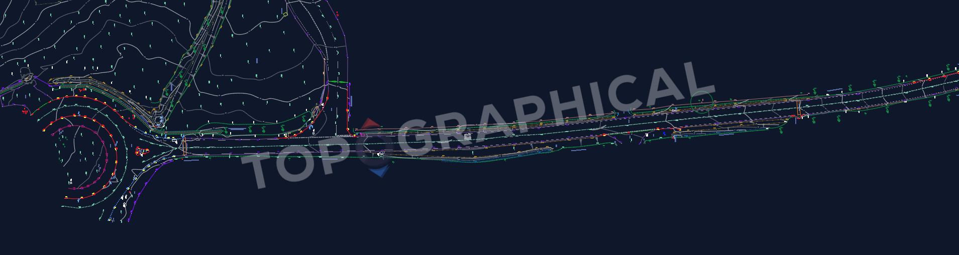
From measured site to topographical drawing
Survey the junction, not just the strip
Carriageway edges, kerbs, verges, junction geometry, visible covers and levels remain connected along the route, giving the highway designer measured tie-ins at both ends.