Topographical Surveys in Buckinghamshire
A Chiltern hillside may need dense breaklines through a short plot, while a Milton Keynes parcel can need a much wider road frontage than its red line suggests. We agree the measured extent, coordinated 2D plan, 3D model and fixed price from the design brief.
Main centres
Aylesbury, High Wycombe, Milton Keynes
Common site mix
Chiltern slopes and valleys, Vale of Aylesbury land, Thames tributaries, planned urban grids, village plots, and growth sites.
A Chiltern hillside may need dense breaklines through a short plot, while a Milton Keynes parcel can need a much wider road frontage than its red line suggests. We agree the measured extent, coordinated 2D plan, 3D model and fixed price from the design brief.
Survey the fall, not just the boundary
On the Vale of Aylesbury, shallow falls, ditches and local watercourses can make a continuous level route more useful than isolated points inside the red line. Around High Wycombe and the Chiltern edge, a retaining wall, bank or steep garden can require tighter breaklines and sections through the slope. Milton Keynes presents a different problem: broad grid roads, redways, landscape strips and development parcels can make the off-site context physically wider even where the site itself is uncomplicated.
The address does not automatically add that detail. It tells us what to ask before we commit survey control and a field method to a fixed scope. The drainage engineer must mark the required level route; the transport consultant must show the required frontage; and access to third-party land must be agreed before we price it.
Use the authority request to define the drawing
Buckinghamshire Council and Milton Keynes City Council run separate planning systems. The current consultant brief should identify which authority is dealing with the scheme, the application type and the technical decision the drawing will support.
Buckinghamshire Council's application pages separate plans and diagrams from supporting material for flooding, drainage, trees, highways and heritage. Milton Keynes publishes its own requirements. These pages may explain why a survey is needed, but they do not set its measured boundary. We price the ground, features and adjoining context named by the appointed professional.
What the fixed price covers
- A coordinated 2D plan and 3D terrain model, supplied in the file formats agreed for the project team.
- Survey control, coordinate system, level datum, accuracy, measured boundary and named adjoining context.
- Ground levels, breaklines, buildings, hard surfaces, walls, fences, trees and specified visible drainage or street features.
- Highway, watercourse or neighbouring detail only where the written brief defines it and lawful access permits measurement.
We can record the positions and top levels of visible service covers when requested. We do not lift covers, measure inverts, locate buried utilities, provide GPR, undertake CCTV drainage inspection, certify legal boundaries, write flood assessments or give planning advice. Each of those tasks has its own competent specialist.
What to send us
Send the full site address, the red-line or survey-extent drawing, intended use, required formats, access contact, programme and any instruction from the architect, engineer or planning consultant. Where flood risk, highway design, tree constraints, heritage setting or a particular datum matters, attach the current requirement and show us where it applies.
We will return a quote stating the survey limits, deliverables, assumptions, exclusions and delivery date. The price is fixed before fieldwork and is not recalculated from hours or days on site.
Local references
We last checked these sources in July 2026. Planning guidance changes, so please send us the latest brief from your architect or consultant and we will price the right survey for your site.
- Buckinghamshire local development scheme (opens in a new tab)
- Buckinghamshire planning application requirements (opens in a new tab)
- Buckinghamshire planning supporting information (opens in a new tab)
- Milton Keynes Plan:MK (opens in a new tab)
- Milton Keynes planning application requirements (opens in a new tab)
- Environment Agency Flood Map for Planning (opens in a new tab)
Survey control
Drone capture
Surface and volume models
Example deliverable
From measured site to topographical drawing
A rural site model keeps buildings and terrain connected
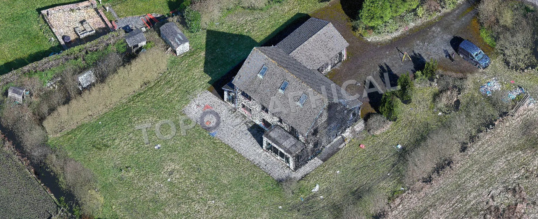
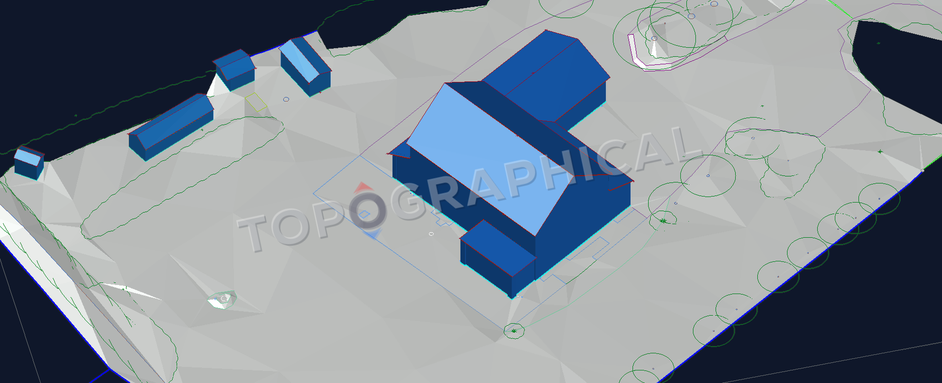
The point cloud captures the property, outbuildings, access and surrounding ground. The delivered model retains their measured relationship instead of isolating the main building from its site.