Measured Building Surveys in Oxfordshire
An Oxfordshire measured building survey should record the accessible property at the detail needed for the next design decision, whether it is a college building, laboratory, shop or village house. We capture with 3D laser scanning and issue the agreed 2D plans, elevations and sections from the registered point cloud for a fixed price.
Main centres
Oxford, Banbury, Bicester, Witney
Common site mix
Historic buildings, university property, laboratories, rural estates, and constrained village homes.
An Oxfordshire measured building survey should record the accessible property at the detail needed for the next design decision, whether it is a college building, laboratory, shop or village house. We capture with 3D laser scanning and issue the agreed 2D plans, elevations and sections from the registered point cloud for a fixed price.
Oxford's designation is only the start
Oxford City Council identifies conservation areas ranging from the central city and university quarter to former villages and open landscapes. A project in the centre may involve controlled college access, old fabric, adjoining buildings and a roofline that contributes to a wider street scene. The conservation designation indicates why change needs care, but it cannot choose the existing drawings. The architect or heritage adviser must state which elevations, roof areas, internal levels and section lines are needed.
Inside a listed building, Oxford City Council explains that protection can apply to the whole interior and to structures within the curtilage. That can bring stairs, cellars, boundary walls, outbuildings or earlier room arrangements into the design evidence. If those areas matter, they belong in the survey schedule and access plan. We will not assume them from a listing description after the visit.
Market towns and working property
Cherwell District Council's validation guidance covers Banbury, Bicester and the district's villages. It asks for different plans and supporting information according to the application. A shop conversion in Banbury may require street and rear elevations with sections through altered levels, while an occupied office or industrial building in Bicester may place more emphasis on structural grids, circulation and safe access to high spaces.
Around Witney and West Oxfordshire, conservation guidance asks proposals to preserve or enhance local character. Stone walls, uneven older buildings, later rear additions and restricted neighbouring access can all affect the drawing schedule. South Oxfordshire has its own validation and listed-building process, so a consultant working across the county should not reuse a previous authority's list without checking the property address.
Laboratories, university departments, schools and tenanted buildings may also require inductions, escorts, room bookings or restricted photography. Tell us about these controls before quotation. Where a loft, plant room, riser, roof or external face cannot be reached, the issue information will identify the gap rather than hiding it inside apparently complete linework.
What the fixed price covers
- 3D laser scanning and registration of accessible rooms, circulation spaces and agreed external faces.
- The named 2D plans, elevations and sections extracted from the registered point cloud.
- Roof plans, reflected ceiling detail, outbuildings or neighbouring elevations only where the schedule requests them.
- Agreed DWG or DXF files and PDF sheets at the stated scales and issue standard.
The survey records visible, accessible fabric. It does not include structural appraisal, opening-up work, a Heritage Impact Assessment or investigation behind finishes. Hidden or concealed construction is not inferred from the point cloud and shown as measured fact.
What to send us
Send the property address, current use, available drawings, required storeys and faces, proposed section lines, output formats and access details. Include the latest brief from the architect, conservation adviser or facilities team, plus any security, occupation or neighbouring-land constraints.
Your quote will list the capture area, drawings, assumptions, exclusions and delivery date. The price is fixed before attendance.
Local references
We last checked these sources in July 2026. Planning guidance changes, so please send us the latest brief from your architect or consultant and we will price the right survey for your property.
- Oxford City conservation areas (opens in a new tab)
- Oxford City planning permission and listed building guidance (opens in a new tab)
- Cherwell planning application guidance (opens in a new tab)
- South Oxfordshire listed building consent (opens in a new tab)
- West Oxfordshire conservation area maps (opens in a new tab)
- West Oxfordshire planning application information (opens in a new tab)
Laser scanning and measured drawings
Example deliverable
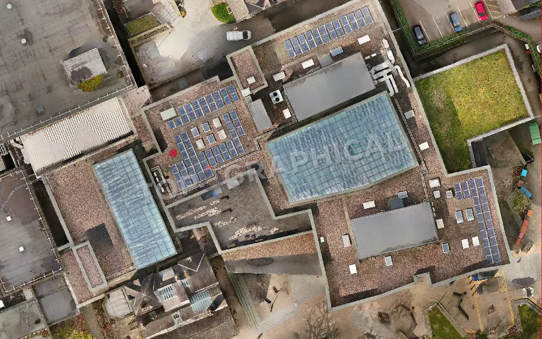
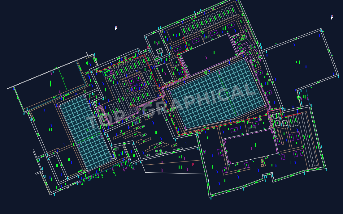
From registered scan to measured drawing
Roof detail should be specified before capture
Ridges, valleys, parapets, openings and visible plant are measured from accessible scan positions or aerial capture to the detail required for planning, retrofit or coordination.