Measured Building Surveys in Northamptonshire
A Northamptonshire measured building survey is priced from the building areas and drawing schedule, not from an assumed scanner visit. We use 3D laser scanning to record accessible fabric, register the point cloud and issue the agreed 2D plans, elevations and sections for a fixed price.
Main centres
Northampton, Kettering, Corby, Wellingborough
Common site mix
Warehouses, industrial buildings, town-centre property, schools, and residential estates.
A Northamptonshire measured building survey is priced from the building areas and drawing schedule, not from an assumed scanner visit. We use 3D laser scanning to record accessible fabric, register the point cloud and issue the agreed 2D plans, elevations and sections for a fixed price.
Industrial scale or historic detail
Corby, Kettering and Wellingborough contain warehouses, factories, offices and converted industrial buildings where long internal runs, high roofs and repeated structural bays can expose small coordination errors. Before quotation, the design team should name the column grids, loading doors, level changes, visible roof structure and external faces that must appear in the drawings. A large building does not need every visible item traced at the same detail.
Northampton town-centre properties often present a different problem. Shops, upper-floor accommodation, rear additions and party-wall lines can form a building that has changed repeatedly. West Northamptonshire Council's heritage information covers listed buildings, conservation areas and other designated assets. If an architect needs to understand the street elevation, roofscape or relationship with neighbouring fabric, those views and section lines should be named before attendance.
North Northamptonshire Council's listed-building guidance explains that protection can cover the interior, exterior and older structures within the curtilage. If that applies to the property, mark every relevant detached store, boundary wall, cellar or roof void on the enquiry. What is absent from a modern estate-agent plan can still matter to the architect and still need separate access.
Occupation decides what can be captured
Warehouses may need induction, segregated routes or a planned shutdown around moving vehicles. Schools require safeguarding arrangements and room access outside teaching use. Mixed commercial buildings can have separate keyholders for upper floors, plant rooms and rear yards. We ask about these restrictions at quotation so the scan plan reflects the building as it is actually operated.
Where a room, roof, loft, riser or external face cannot be reached, we identify the gap in the issue information. A point cloud can join measured positions across complex geometry, but it cannot see through locked doors or solid finishes.
What the fixed price covers
- 3D laser scanning and registration of accessible spaces and agreed external faces.
- The named 2D plans, elevations and sections extracted from the registered point cloud.
- Roof plans, reflected ceiling information, outbuildings or neighbouring context only where listed in the schedule.
- Agreed DWG or DXF files and PDF sheets at the requested scales and issue standard.
The output records visible, accessible fabric. It does not provide a structural appraisal, opening-up work, asbestos information or a Heritage Impact Assessment. Hidden or concealed construction is not invented to fill a blank in the drawings.
What to send us
Send the property address, its current use, available drawings, required storeys and elevations, proposed section positions, output formats and access arrangements. Tell us about escorts, security rules, tenants, restricted plant areas, high-level access and adjoining land before we quote.
The quotation will name the scan area, drawings, exclusions and delivery date. The price is fixed before the visit.
Local references
We last checked these sources in July 2026. Planning guidance changes, so please send us the latest brief from your architect or consultant and we will price the right survey for your property.
- North Northamptonshire planning supporting documents (opens in a new tab)
- North Northamptonshire conservation areas (opens in a new tab)
- North Northamptonshire listed buildings (opens in a new tab)
- West Northamptonshire planning application guidance (opens in a new tab)
- West Northamptonshire designated heritage assets (opens in a new tab)
- West Northamptonshire public web map (opens in a new tab)
Laser scanning and measured drawings
Example deliverable
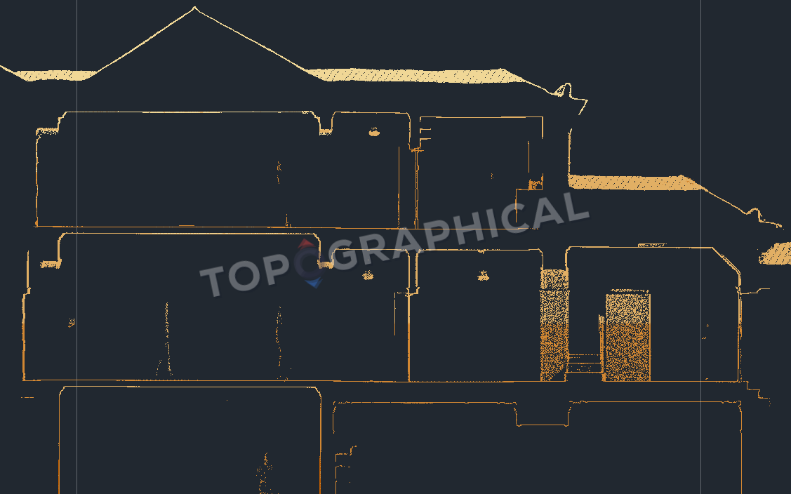
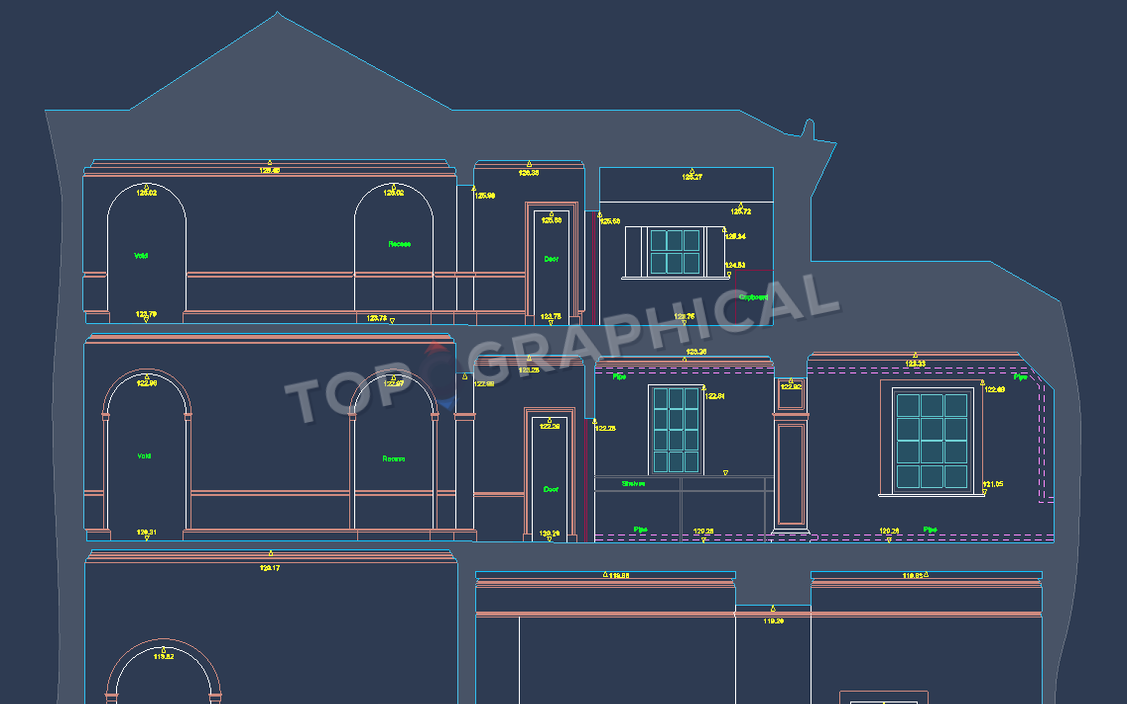
From registered scan to measured drawing
A section fixes vertical relationships on one drawing
Floor levels, openings, structure and roof heights are extracted along a specified cut line, exposing relationships a plan cannot show.