Measured Building Surveys in Rutland
A Rutland conversion can fail at the drawing stage when an old plan hides the very junction being altered: a thickened wall, sloping floor, blocked opening or roof change. We use 3D laser scanning to register the accessible property as a point cloud, then draw the agreed 2D plans, elevations and sections for a fixed price.
Main centres
Oakham, Uppingham
Common site mix
Listed town houses, limestone village property, schools, hospitality buildings, farm conversions, churches, and compact estate buildings.
A Rutland conversion can fail at the drawing stage when an old plan hides the very junction being altered: a thickened wall, sloping floor, blocked opening or roof change. We use 3D laser scanning to register the accessible property as a point cloud, then draw the agreed 2D plans, elevations and sections for a fixed price.
Start with the proposed alteration
If the architect is opening two rooms into one, the plan needs accurate wall faces, openings, floor levels and the structures that frame the work. A roof conversion may need sections through purlins, eaves and changes in pitch. Work to an Oakham shopfront or Uppingham townhouse may call for a street elevation and neighbouring roof lines as well as internal drawings. Beginning with the design question keeps the output focused.
Rutland County Council's conservation and listed-building guidance gives the project team a way to check the property's status. That check can change the drawing brief: an architect may ask for window patterns, chimneys, boundary walls, attached fabric or curtilage structures. We record the agreed visible geometry; we do not decide significance, condition or consent requirements.
Old buildings do not reward guesswork
Stone buildings and properties altered over several periods rarely repeat perfectly. Wall thickness, floor level and opening position can change from room to room. In Oakham and Uppingham, selected sections are often more useful than adding detail everywhere: the architect can place them through a stair, roof junction, floor change or connection to an outbuilding.
The point cloud is assembled from overlapping scans taken in accessible positions. It is a strong measured reference for what those positions could see, not an x-ray. Hidden beams, closed voids, wall cores and surfaces behind fixed finishes remain concealed unless another professional arranges opening-up.
Access therefore needs its own plan. Confirm keys and safe routes for cellars, lofts, plant spaces, outbuildings and enclosed yards. Tell us about occupants, alarms, fragile areas and neighbour-controlled elevations. If an area cannot be entered or is materially obscured, we identify the gap and explain its effect on the drawings.
What the fixed price covers
The quotation lists the included structures, floors, rooms and external faces; section positions; drawing scales; visible feature detail; and issue formats. The fixed price covers agreed attendance, 3D laser capture, point-cloud registration and extraction of the listed 2D plans, elevations and sections.
Roof plans, reflected ceiling plans, opening schedules, detailed profiles, area calculations and point-cloud files are included only when named. We do not report building condition, structural capacity, asbestos, hidden fabric or concealed services.
What to send us
Send the address, current use, proposed alteration, previous drawings and a marked output schedule. State which elevations and section cuts are needed, the scales and formats, room naming convention, deadline and access contact. For a listed or conservation-area property, include the architect's or heritage consultant's feature list and any restrictions on moving contents or entering sensitive areas.
Local references
We last checked these sources in July 2026. Planning guidance changes, so please send us the latest brief from your architect or consultant and we will price the right survey for your property.
Laser scanning and measured drawings
Example deliverable
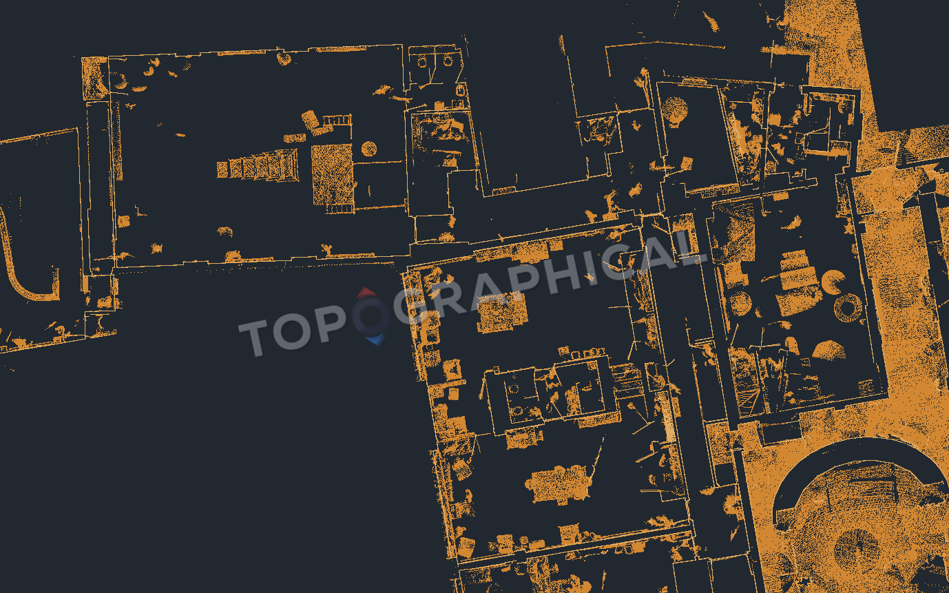
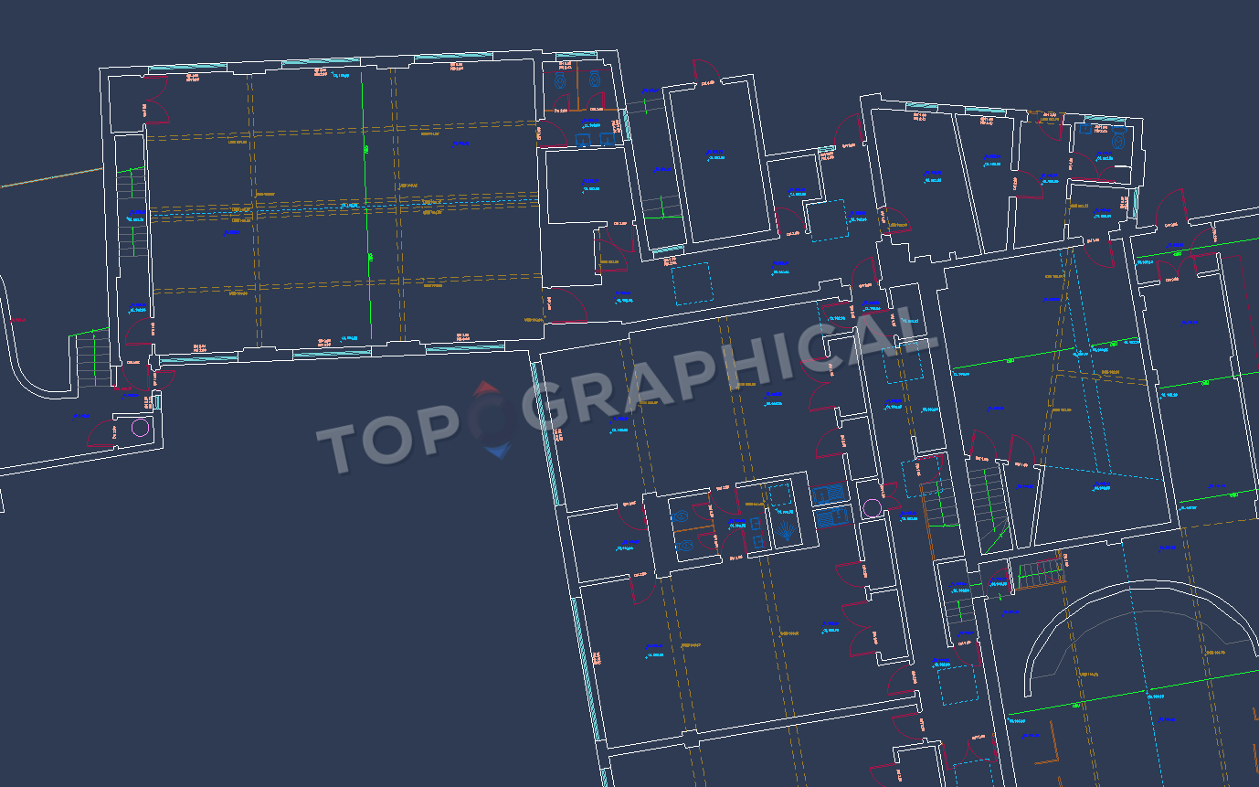
From registered scan to measured drawing
The point cloud is measured evidence; the plan is an interpretation
The registered scan records visible surfaces in 3D. The floor plan applies the specified cut plane and drawing conventions to walls, openings, circulation and fixed features.