Measured Building Surveys in Warwickshire
We use 3D laser scanning in accessible parts of a Warwickshire property, register the point cloud and extract the agreed 2D plans, elevations and sections. The fixed quotation names the structures, rooms, external faces, drawing detail and access assumptions it covers.
Main centres
Warwick, Leamington Spa, Stratford-upon-Avon, Rugby, Nuneaton
Common site mix
Listed town houses, country properties, curtilage buildings, hotels, schools, farm conversions and commercial premises.
We use 3D laser scanning in accessible parts of a Warwickshire property, register the point cloud and extract the agreed 2D plans, elevations and sections. The fixed quotation names the structures, rooms, external faces, drawing detail and access assumptions it covers.
For historic property, the survey scope may extend beyond the main front door. Warwick District Council explains that listed status covers a building's interior and exterior and can include qualifying pre-1948 structures within its curtilage. Stratford-on-Avon District Council and Nuneaton and Bedworth Borough Council publish their own conservation material. If a proposal links a house to a coach house, wall, courtyard or former agricultural building, the architect may need those relationships drawn rather than a plan of the principal rooms alone.
Agree the cut planes with the architect
Plans can record wall faces, openings, stairs, columns, fixed fittings and floor levels at the chosen scale. Elevations may include facade openings, cills, heads, bands, eaves, parapets, roof lines and visible changes in fabric. Section lines should follow the design problem: through a staircase, roof junction, floor change, extension abutment or group of curtilage structures. Stratford's conservation guidance notes the value of detailed plans and street elevations or perspectives in its context; the architect should decide what measured context the proposal needs.
Warwick District Council's listed-building guidance, Stratford-on-Avon District Council's conservation pages and Nuneaton and Bedworth Borough Council's heritage information are property-specific starting points. Rugby Borough Council also publishes a validation checklist whose requirements depend on the proposal and site constraints. Those sources can affect what the heritage adviser asks to see, but the measured survey is not a heritage appraisal. It records visible dimensions and relationships in the agreed areas, leaving significance, condition and consent advice to the relevant professionals.
Old buildings still have access limits
Prepare keys and safe routes for cellars, attics, roof spaces, towers, outbuildings and enclosed yards. Hotels, schools, homes and commercial premises may need phased room access or an escort. External walls beside neighbouring land require permission, while planting, vehicles and stored contents may obscure lower surfaces. Fragile floors, unguarded voids and unsafe roofs remain outside access unless suitable controls are in place.
The registered point cloud records surfaces visible from positions we can safely occupy. It cannot reveal hidden fabric such as timber, wall cores, covered openings or construction behind plaster. We identify inaccessible rooms and obscured surfaces in the survey record rather than filling those areas from conjecture.
What the fixed price covers
The quotation lists each building, floor and elevation in scope, drawing scales and detail, section locations, site attendance and delivery files. It includes laser-scanned capture, point-cloud registration and extraction of the agreed 2D plans, elevations and sections. Roof plans, reflected ceiling plans, detailed moulding or window schedules, external coordinate control and point-cloud delivery need to be requested explicitly.
What to send us
Send the property address, current use, proposed alteration, marked survey extent and the architect's drawing schedule. Include section lines, scales, DWG or PDF requirements, existing plans and target date. We also need the keyholder, occupancy timetable, parking and induction details, known hazards, relevant asbestos information and access arrangements for basements, lofts, roofs, outbuildings, courtyards and neighbouring elevations.
Local references
We last checked these sources in July 2026. Planning guidance changes, so please send us the latest brief from your architect or consultant and we will price the right survey for your property.
- Warwick District listed buildings guidance (opens in a new tab)
- Warwick District planning application process (opens in a new tab)
- Stratford-on-Avon conservation areas (opens in a new tab)
- Nuneaton and Bedworth conservation and heritage (opens in a new tab)
- Nuneaton and Bedworth Article 4 directions (opens in a new tab)
- Rugby Borough Council validation checklist (opens in a new tab)
Laser scanning and measured drawings
Example deliverable
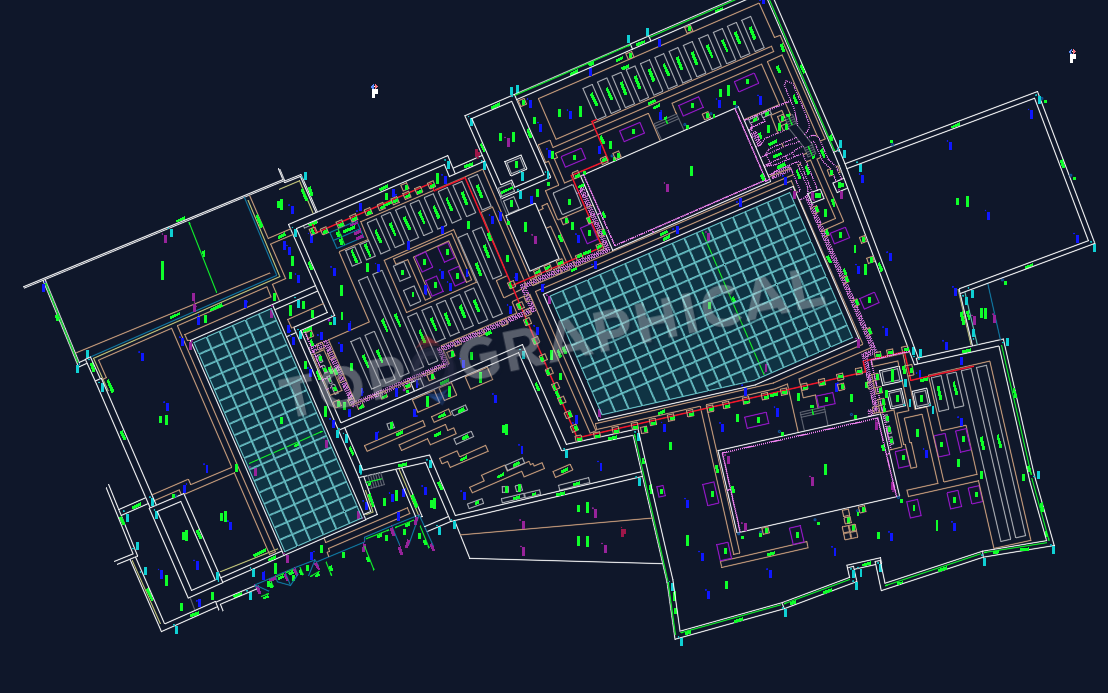
From registered scan to measured drawing
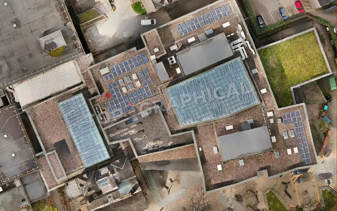
Roof detail should be specified before capture
Ridges, valleys, parapets, openings and visible plant are measured from accessible scan positions or aerial capture to the detail required for planning, retrofit or coordination.