Topographical Surveys in Lincolnshire
Small level differences carry large design consequences on many Lincolnshire sites, so a survey brief must say where the level route begins, where it ends and what decision it supports. Our fixed quotation defines the survey control, coordinated 2D plan, 3D model, measured boundary and delivery date before fieldwork.
Main centres
Lincoln, Grantham, Stamford, Sleaford
Common site mix
Low-gradient fen-edge land, limestone towns, large rural holdings, drainage districts, infrastructure corridors, and expanding urban sites.
Small level differences carry large design consequences on many Lincolnshire sites, so a survey brief must say where the level route begins, where it ends and what decision it supports. Our fixed quotation defines the survey control, coordinated 2D plan, 3D model, measured boundary and delivery date before fieldwork.
Small falls need a continuous level route
Lincolnshire County Council is the Lead Local Flood Authority, while other risk-management bodies can hold responsibilities for rivers, sewers and drainage districts. A red line that stops at the edge of a field is not enough when the drainage engineer needs thresholds tied to a ditch, bank, culvert headwall or highway channel outside it. Send the engineer's requested level path and identify any watercourse margin or third-party land that requires access.
Low-gradient land is not simple land. When small changes determine flow direction, the quotation must state spot-level spacing, breakline treatment and which hard or soft surfaces form the model. On a long rural parcel, control distribution and intervisibility matter; in Lincoln or Grantham, parked vehicles, active yards and busy road frontages may govern when observations can be made. These are programme and access matters, not extras charged by time.
Match the drawing to the authority request
Lincoln, Sleaford, Grantham and Stamford do not share one development-plan authority. The Central Lincolnshire Local Plan covers the City of Lincoln Council, North Kesteven and West Lindsey, placing Lincoln and Sleaford in a joint policy area. Grantham and Stamford fall under South Kesteven District Council. Lincolnshire County Council deals with minerals, waste and its own developments rather than ordinary housing or commercial applications. The survey brief must follow the route for the site address.
For the survey, that division matters only when a written requirement changes the measured content. A Lincoln urban site may need adjoining street detail and facade lines; a Sleaford scheme may need levels carried into a wider drainage or access design; a Stamford project can put walls, trees and neighbouring property inside the consultant's brief. We measure those items when specified. We do not decide what a planning authority will accept.
What the fixed price covers
- Project control on the stated coordinate reference and level datum.
- A coordinated 2D plan and 3D model covering the agreed red line and any named off-site tie-ins.
- Specified surface detail such as levels, breaklines, buildings, hardstanding, visible boundaries, trees, banks and ditches.
- The CAD, PDF or other file outputs, drawing scale and issue date written into the quotation.
Visible service covers can be plotted with top levels if requested, but we do not lift covers or measure inverts. Tracing utilities, GPR, CCTV drainage surveys, legal-boundary determination and planning advice are outside the commission. Below-ground information must come from the appointed specialist.
What to send us
Provide the site address and red line, then add the design use, required output formats, accuracy or grid instructions, access arrangements and target date. For flood, highway or earthworks design, send the engineer's mark-up showing the full route of levels and every off-site feature needed. Tell us about ditches, locked gates, crops, livestock, live industrial areas and land controlled by neighbours before the visit is booked.
Local references
We last checked these sources in July 2026. Planning guidance changes, so please send us the latest brief from your architect or consultant and we will price the right survey for your site.
- Lincolnshire County Council planning application types (opens in a new tab)
- Central Lincolnshire adopted Local Plan 2023 (opens in a new tab)
- Central Lincolnshire adopted policies map (opens in a new tab)
- South Kesteven Local Plan (opens in a new tab)
- Lincolnshire County Council flood risk management (opens in a new tab)
- Lincolnshire minerals and waste planning policy (opens in a new tab)
Survey control
Drone capture
Surface and volume models
Example deliverable
From measured site to topographical drawing
The design boundary rarely ends at the wall
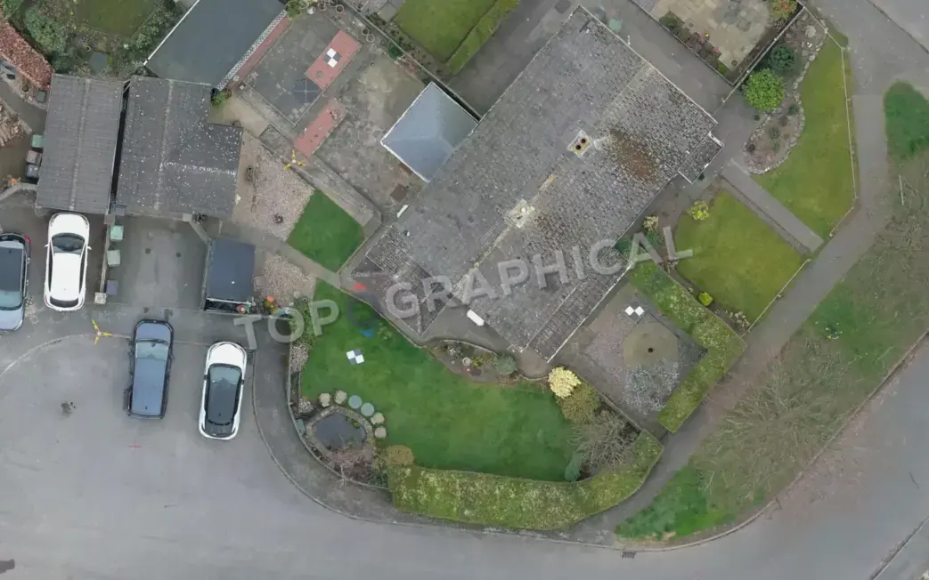
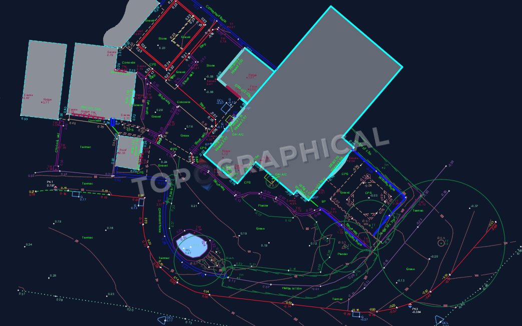
The survey relates the building to access, garden levels, retaining features, visible boundaries and the neighbouring context named in the brief.