Topographical Surveys in Cambridgeshire
A Cambridgeshire topographical survey must resolve the small level changes that matter on fenland as well as the access and control problems found on busy city sites. We agree the measured extent, coordinated 2D plan, 3D model and fixed price before the survey team attends.
Main centres
Cambridge, Peterborough, Ely, Huntingdon
Common site mix
University city sites, fenland, science parks, villages, and large development parcels.
A Cambridgeshire topographical survey must resolve the small level changes that matter on fenland as well as the access and control problems found on busy city sites. We agree the measured extent, coordinated 2D plan, 3D model and fixed price before the survey team attends.
Flat ground is not simple ground
Across Ely and the low-lying fen edge, a shallow fall can decide whether a drainage layout works. Ditches, watercourses, banks, threshold levels and changes between hard and soft ground may therefore need a continuous measured relationship, not a scattering of spot heights. Cambridgeshire County Council reviews surface-water drainage for major development, but its guidance does not decide which features your drainage engineer wants surveyed. That detail must come from the project brief.
Huntingdon sits beside the River Great Ouse, while Peterborough sites can be influenced by the River Nene, drainage channels and broad, low-gradient development land. Where flood or drainage work is planned, we can measure the agreed water edges, ditch lines, culverts visible from the surface and the route between site low points. The flood consultant remains responsible for defining the extent, datum and information needed for an assessment.
Cambridge needs a different field plan
Cambridge city-centre plots, university estates and science parks often have restricted vehicle access, controlled buildings, cycle traffic and little room for survey control. The brief may need adjoining facades, highway frontage, tree canopies, thresholds and levels beyond the immediate design area. We price those requirements once access windows, permits and the survey boundary are known, rather than assuming an open site from the postcode.
Highway limits also need care. Cambridgeshire County Council warns that highway records plotted against Ordnance Survey mapping may not match physical features measured by a topographic survey. We can survey the visible kerb, verge, fence, ditch or hedge, but a measured feature is not proof of the legal highway boundary. Request the council's highway search where that distinction affects the design.
What the fixed price covers
- A coordinated 2D topographical plan and 3D terrain model in the agreed file formats.
- The stated survey extent, coordinate system, level datum, accuracy and delivery date.
- Ground levels, breaklines, buildings, hard surfaces, visible boundaries, trees and specified drainage or street features.
- Agreed off-site or highway frontage detail where permission, safety and line of sight allow measurement.
Visible service-cover positions and top levels can be recorded when the brief names them. We do not lift covers, measure inverts, trace utilities, carry out GPR or CCTV drainage work, establish legal boundaries, prepare flood assessments or make below-ground inferences from surface evidence.
What to send us
Send the address, an extent plan, the latest consultant brief, required DWG or other formats, access arrangements, site contacts and any stated datum or coordinate requirement. For fenland, riverside or highway work, include the drainage strategy, visibility drawing or authority note that explains what the survey must support.
Your quote will state the measured area, outputs, assumptions, exclusions and programme. The price is fixed, not calculated from time spent on site.
Local references
We last checked these sources in July 2026. Planning guidance changes, so please send us the latest brief from your architect or consultant and we will price the right survey for your site.
- Cambridge City planning and building control (opens in a new tab)
- Cambridgeshire flood planning and development (opens in a new tab)
- Cambridgeshire highway searches (opens in a new tab)
- Peterborough planning application requirements (opens in a new tab)
- Huntingdonshire planning applications (opens in a new tab)
- Environment Agency Flood Map for Planning (opens in a new tab)
Survey control
Drone capture
Surface and volume models
Example deliverable
From measured site to topographical drawing
Tight residential sites still need complete external context
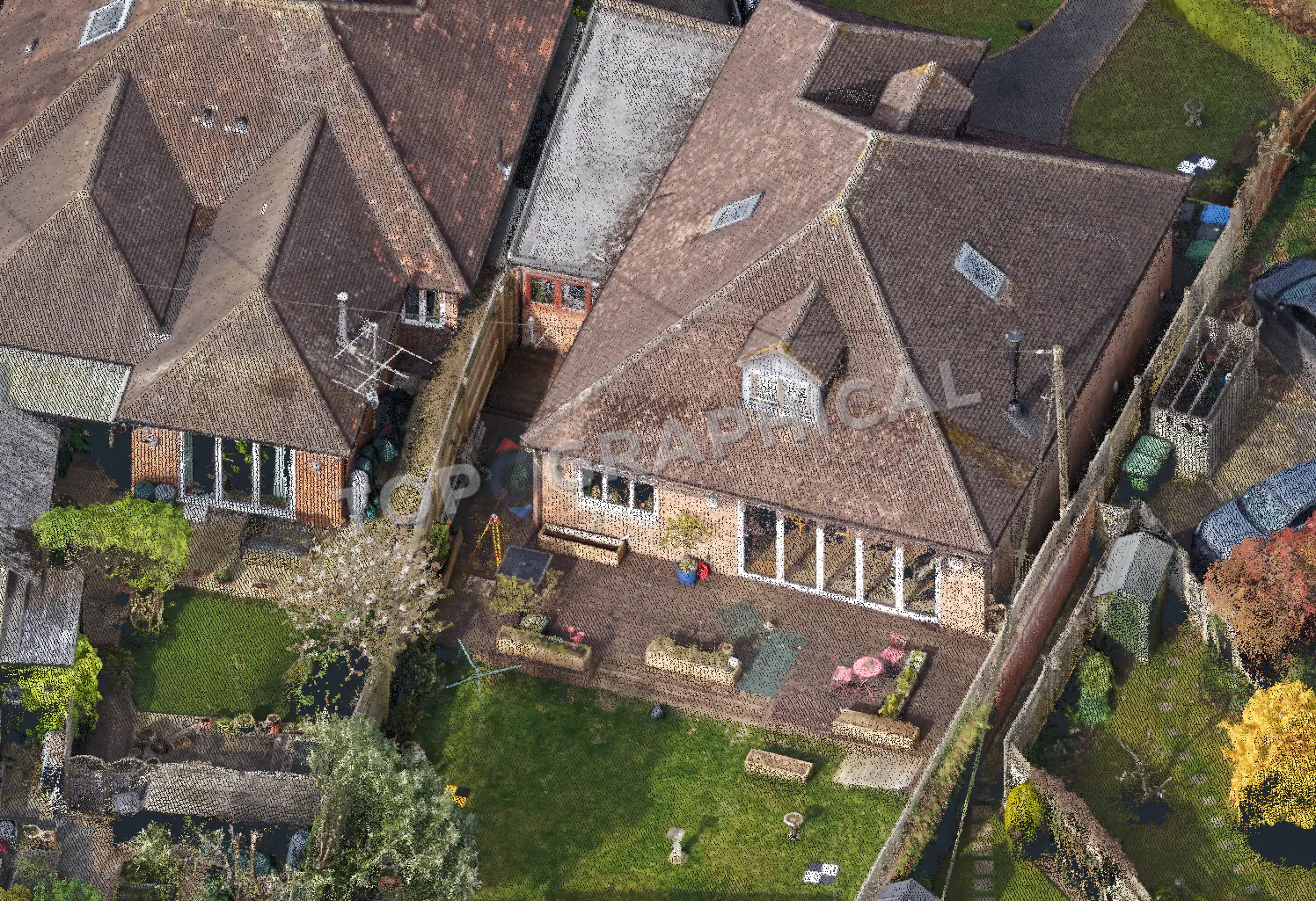
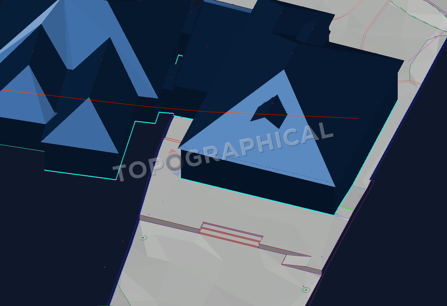
The registered point cloud records roofs, extensions, boundaries, gardens and level changes. The 3D survey model turns that dense context into coordinated surfaces and building forms for design.