Topographical Surveys in East Midlands
A portfolio spread across the East Midlands can share file standards and survey control, but it should not share a generic feature list. We scope each address around its design problem, then give you one fixed price for the agreed coordinated 2D plan and 3D model at each site.
Main centres
Nottingham, Derby, Leicester, Lincoln, Northampton, Oakham
Common site mix
Regional coverage across Nottinghamshire, Derbyshire, Leicestershire, Lincolnshire, Northamptonshire, and Rutland.
A portfolio spread across the East Midlands can share file standards and survey control, but it should not share a generic feature list. We scope each address around its design problem, then give you one fixed price for the agreed coordinated 2D plan and 3D model at each site.
Standardise the handover, not the ground
A Nottingham infill plot may need neighbour elevations and a full highway frontage. A Derby or Leicester industrial site may turn on yard falls, thresholds and retaining structures. Around Lincoln, Northampton or Oakham, drainage ditches, verges, banks, trees and longer off-site level runs can matter more than dense detail near the centre of the plot. Each marked extent should show which relationship the consultant intends to test.
The coordinate system, datum, layer standard and file issue can still be consistent across a multi-site commission. That gives the design team predictable files without pretending the terrain is interchangeable. If one site needs an opposing kerb and another needs a ditch outlet, both differences appear in the quotation rather than being discovered after fieldwork.
The postcode changes who holds the evidence
This coverage area includes Nottinghamshire, Derbyshire, Leicestershire, Lincolnshire, Northamptonshire and Rutland. The East Midlands Combined County Authority covers only part of that footprint, while East Midlands Councils has a wider membership. Neither body replaces the planning, highway or flood authority for the address.
The local structure varies. Nottinghamshire County Council and Leicestershire County Council work alongside city and district authorities; Lincolnshire County Council directs most ordinary planning enquiries to its district or borough councils; Rutland County Council is unitary; and North Northamptonshire Council and West Northamptonshire Council have their own planning services. The appointed consultant checks the current requirement. We convert it into a measurable brief.
Flood and highway requests are equally specific. Derbyshire publishes its flood responsibilities, while West Northamptonshire provides advice for planners. If an engineer asks for thresholds, kerbs, channels, ditches, culvert ends, banks or a visible discharge point, we measure the connected route they mark. We do not turn a surface survey into a flood assessment.
For highway or access work, mark the frontage, opposing kerb, visibility limits, footways and verges needed by the designer. Legal highway limits and rights-of-way status come from the relevant authority record. Mining risk is equally address-specific: we can plot supplied specialist information and visible surface features, but we do not interpret underground workings.
Multi-site commissions need a separate extent and access note for every address. Occupied yards, security bookings, vegetation, animals, steep ground, water edges and neighbour-dependent detail affect what can be observed safely. Grouped travel can reduce disruption, but it must not blur the survey limits.
What the fixed price covers
The fixed price covers the boundary and visible surface features named for each site, survey control tied to the agreed coordinate system and datum, and a coordinated 2D plan and 3D model in the specified formats. Levels, breaklines, hard surfaces, structures, visible boundaries, trees and commissioned off-site detail are included only within that written extent.
Lifting covers, measuring inverts, tracing utilities, GPR, CCTV, planning advice, legal boundary work, drainage design and flood-risk assessment are excluded. Visible covers can be shown at surface level when requested. The quotation states any access assumptions and identifies specialist work that sits outside our appointment.
What to send us
For each site, send the full address, marked boundary, design purpose, consultant's specification, coordinate and datum requirements, file formats, access contact and delivery date. Attach previous CAD and any authority request that explains road, drainage or adjoining detail. We will return a scope table that makes the output, assumptions, exclusions and fixed price clear for every address.
Local references
We last checked these sources in July 2026. Planning guidance changes, so please send us the latest brief from your architect or consultant and we will price the right survey for your site.
- East Midlands Combined County Authority area (opens in a new tab)
- East Midlands Councils membership (opens in a new tab)
- Nottinghamshire local government structure (opens in a new tab)
- Leicestershire district planning responsibilities (opens in a new tab)
- Lincolnshire County Council planning application responsibilities (opens in a new tab)
- Rutland planning application requirements (opens in a new tab)
- North Northamptonshire unitary services (opens in a new tab)
- West Northamptonshire unitary services (opens in a new tab)
- Derbyshire flood risk responsibilities (opens in a new tab)
- West Northamptonshire flood risks for planners (opens in a new tab)
Survey control
Drone capture
Surface and volume models
Example deliverable
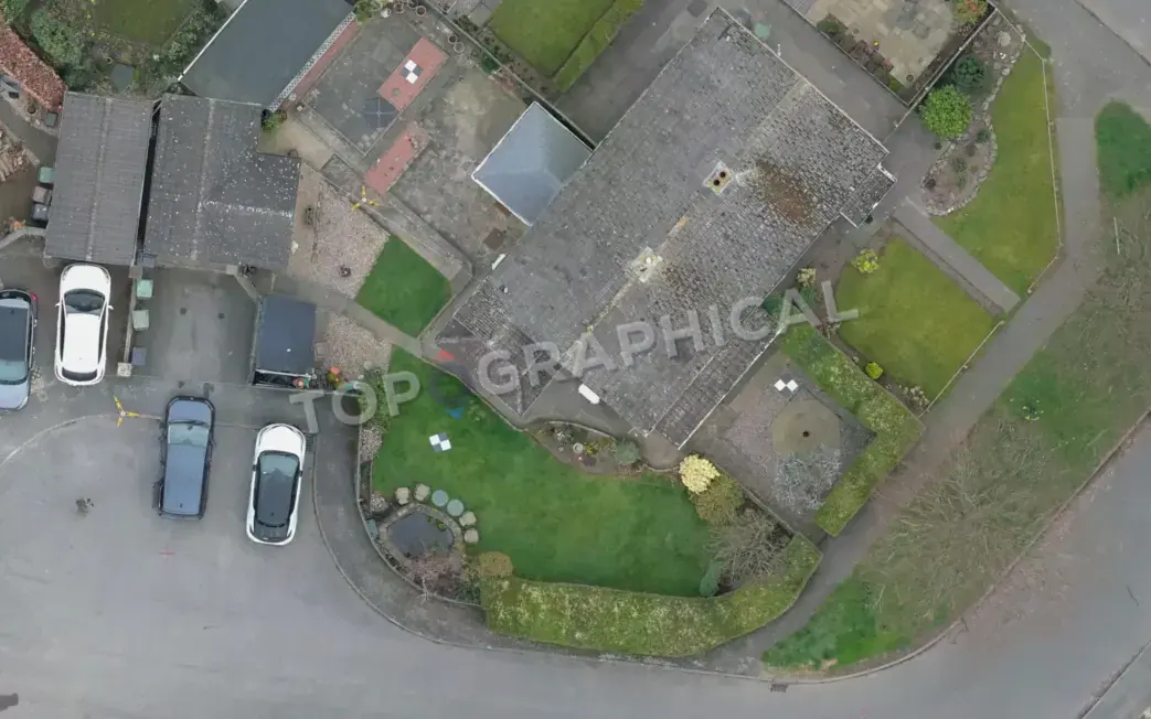
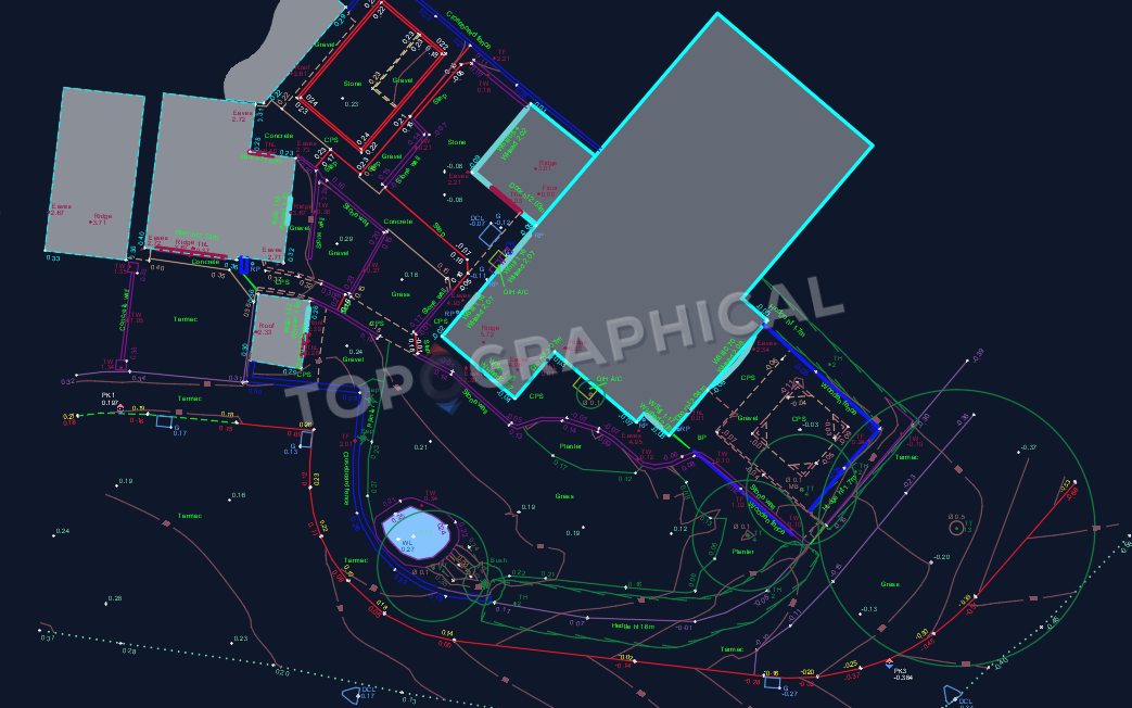
From measured site to topographical drawing
The design boundary rarely ends at the wall
The survey relates the building to access, garden levels, retaining features, visible boundaries and the neighbouring context named in the brief.