Measured Building Surveys in Nottinghamshire
A Nottingham cellar, altered Newark frontage or occupied Mansfield commercial building can leave serious gaps in a plan-only brief. We laser-scan the accessible building and extract the agreed 2D plans, elevations and sections for a fixed price set before attendance.
Main centres
Nottingham, Mansfield, Newark-on-Trent, Worksop
Common site mix
Historic town-centre buildings, commercial property, Victorian housing, schools, former industrial premises, and rural estates.
A Nottingham cellar, altered Newark frontage or occupied Mansfield commercial building can leave serious gaps in a plan-only brief. We laser-scan the accessible building and extract the agreed 2D plans, elevations and sections for a fixed price set before attendance.
Define the drawing set before the visit
We ask which floors, outbuildings and external faces are required; where the designer wants sections cut; and whether roof plans, site levels or neighbouring features form part of the commission. Scale, drawing detail, file standards and any coordinate or datum requirement are settled at the same time. Point-cloud delivery is priced as a named item where it will help coordination.
Local requirements change with the address
Nottingham, Mansfield, Newark-on-Trent and Worksop fall under different local planning authorities. Their published validation guidance shows why some projects need more than internal plans. Bassetlaw discusses true elevations for irregular facades and courtyards, with roof plans and sections where floors or ground levels vary. Newark and Sherwood and Mansfield also identify plans, elevations, roof plans and sections according to the proposed work.
In Nottingham and Newark and Sherwood, conservation status is checked against the property rather than inferred from the postcode. Where an Article 4 direction restricts permitted development, it changes the permission route; it does not prescribe a measured-survey deliverable. Street-facing detail, roof form, adjoining fabric and external access enter the drawing schedule only when the professional brief requires them.
The architect, planning consultant or conservation adviser should confirm what the submission requires. Where no drawing schedule exists, we can draft one from the intended use for that consultant to approve before attendance.
What the fixed price covers
- 3D laser scanning of the accessible building and registration of the measured point cloud.
- The agreed 2D floor plans, elevations and sections extracted from that point cloud.
- Roof plans, external levels, adjoining elevations or large-scale details only where they are named in the drawing schedule.
- The agreed DWG or DXF issue files, plus PDF sheets, organised to the agreed scales and drawing standards.
A measured building survey does not include a Heritage Impact Assessment, structural appraisal, opening-up work or investigation of concealed fabric. Detailed joinery records and capture from neighbouring land are separate items when the project requires them.
Access is part of the quotation
Tell us whether the building is occupied, who controls the keys, and whether access is restricted to roofs, basements, caves, plant rooms, rear yards or elevations reached from adjoining land. We list any rooms or elevations we could not reach, so the drawings are clear about what was measured.
What to send us
Send us the property address, intended use, available drawings, required plans, elevations and sections, access information, any project-specific accuracy requirement and any written professional brief. Your quote will state what we will scan, what we will draw, any exclusions and the delivery date. The price is fixed, not billed by the hour or day.
Local references
We last checked these sources in July 2026. Planning guidance changes, so please send us the latest brief from your architect or consultant and we will price the right survey for your property.
- Nottingham City conservation areas (opens in a new tab)
- Mansfield planning application requirements (opens in a new tab)
- Newark and Sherwood planning application requirements (opens in a new tab)
- Newark and Sherwood Article 4 guidance (opens in a new tab)
- Bassetlaw local validation requirements (opens in a new tab)
Laser scanning and measured drawings
Example deliverable
From registered scan to measured drawing
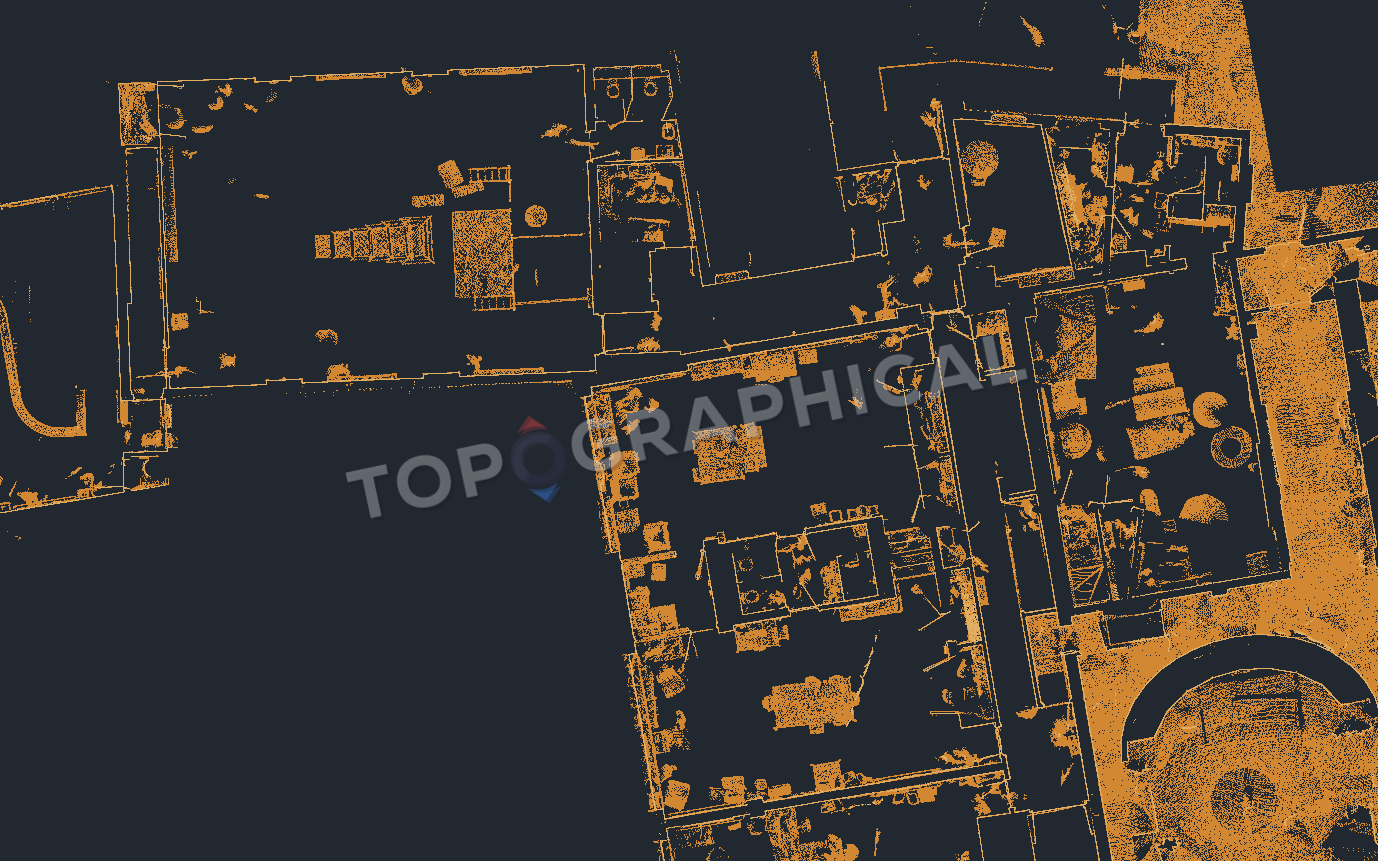
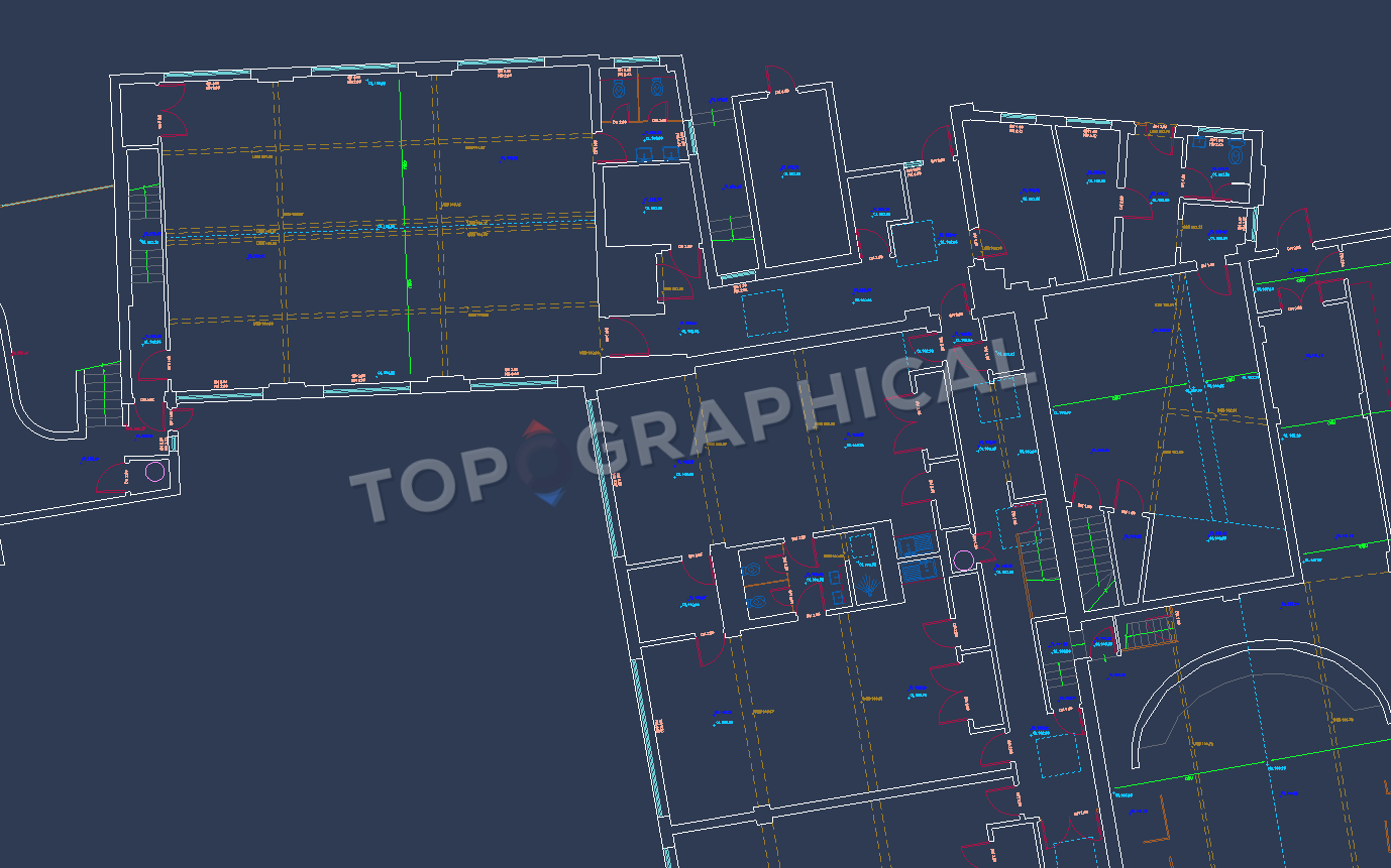
The point cloud is measured evidence; the plan is an interpretation
The registered scan records visible surfaces in 3D. The floor plan applies the specified cut plane and drawing conventions to walls, openings, circulation and fixed features.