Measured Building Surveys in West Yorkshire
We use 3D laser scanning in accessible parts of your West Yorkshire property, register the point cloud and extract the agreed 2D plans, elevations and sections. The quotation is fixed against a written drawing schedule, survey extent and access plan.
Main centres
Leeds, Bradford, Wakefield, Huddersfield, Halifax
Common site mix
Stone terraces, former mills, civic buildings, retail units and occupied commercial or education estates.
We use 3D laser scanning in accessible parts of your West Yorkshire property, register the point cloud and extract the agreed 2D plans, elevations and sections. The quotation is fixed against a written drawing schedule, survey extent and access plan.
The useful question is not how much the scanner can collect, but what the architect must draw from the result. Former mills across the City of Bradford Metropolitan District Council, Kirklees Council and Calderdale Council areas can combine deep floor plates, repetitive columns, changes of level and additions from several periods. A Halifax mill may need sections through several floor and roof changes, while premises in the Leeds City Council area may be occupied above and beside the survey floor. A conservation-area frontage identified by Wakefield Council may require more street context than an internal alteration elsewhere.
Put each drawing to work
Floor plans can record wall faces, openings, columns, stairs, sanitary fittings, fixed joinery and levels to an agreed scale. External elevations commonly need openings, sills, heads, cornices, roof lines and visible material changes. A section should be positioned to answer a known question: through a stair, roof form, split level or structural bay. On irregular mill buildings, several well-chosen sections often serve the designer better than lines selected merely for even spacing.
The local authorities do not share one validation list. Leeds City Council, the City of Bradford Metropolitan District Council and Kirklees Council each publish their own requirements, while Wakefield Council provides conservation material. Calderdale Council's planning service also manages the borough's built heritage from Halifax. If the planning or heritage consultant needs a wider setting recorded, it must be named in the drawing schedule. A measured building survey supplies dimensions and visible geometry, not an assessment of heritage significance.
Occupied and hidden areas
Agree access room by room. We need to know about tenants, school sessions, trading hours, alarms, permits and escorts, as well as keys for basements, lofts, roof spaces and plant rooms. External elevations may require access to courtyards, neighbouring land or a safe line of sight from the street. Parked vehicles, storage and fitted furniture may hide the surfaces behind them.
The laser-scanned point cloud records what was visible from accessible positions. We identify inaccessible rooms or surfaces we could not capture. Hidden fabric, wall build-ups, concealed beams and covered voids are not inferred from the scan; intrusive investigation is a separate task for the appointed building professional.
What the fixed price covers
The quotation lists every included floor, room group and external face, the section cut lines, drawing scales, feature detail and DWG or PDF deliverables. It includes the agreed site attendance, laser scanning, registration of the point cloud and extraction of the listed 2D plans, elevations and sections. Point-cloud files, roof plans, reflected ceiling plans or work to a project CAD standard are included only when named.
What to send us
Send the property address, intended design use, a marked extent and a schedule of drawings with scales and formats. Existing floor plans are valuable for access planning even when their dimensions cannot be trusted. Add the site contact, occupation timetable, induction and parking details, known restricted areas, permits, asbestos information relevant to access and the date the drawings are needed.
Local references
We last checked these sources in July 2026. Planning guidance changes, so please send us the latest brief from your architect or consultant and we will price the right survey for your property.
- Leeds planning application validation requirements (opens in a new tab)
- Leeds conservation areas (opens in a new tab)
- Bradford national and local validation requirements (opens in a new tab)
- Wakefield conservation areas (opens in a new tab)
- Kirklees planning guidance and validation (opens in a new tab)
- Calderdale planning service (opens in a new tab)
Laser scanning and measured drawings
Example deliverable
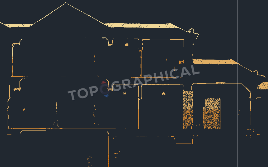
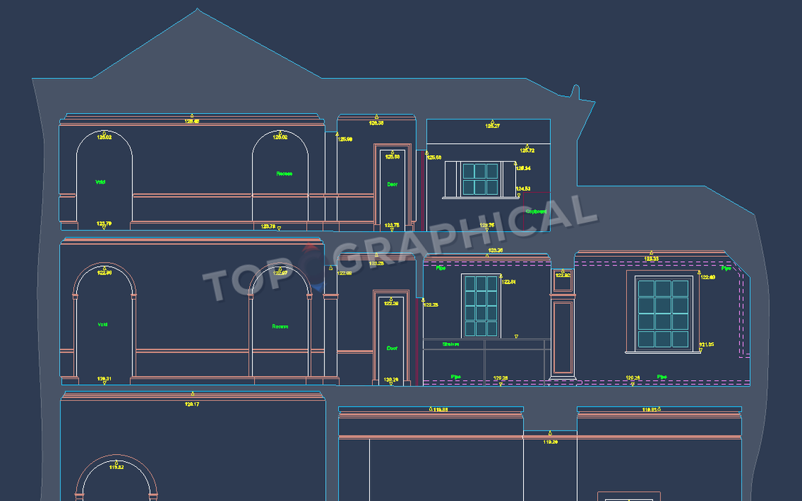
From registered scan to measured drawing
A section fixes vertical relationships on one drawing
Floor levels, openings, structure and roof heights are extracted along a specified cut line, exposing relationships a plan cannot show.