Measured Building Surveys in East Riding of Yorkshire
We use 3D laser scanning in accessible parts of your East Riding or Hull building, register the point cloud and produce the agreed 2D plans, elevations and sections. The fixed price follows a named drawing schedule and a realistic plan for reaching every included space and external face.
Main centres
Hull, Beverley, Bridlington, Goole, Driffield
Common site mix
Listed town-centre property, farm buildings, coastal hotels, civic premises, warehouses and occupied homes.
We use 3D laser scanning in accessible parts of your East Riding or Hull building, register the point cloud and produce the agreed 2D plans, elevations and sections. The fixed price follows a named drawing schedule and a realistic plan for reaching every included space and external face.
Heritage designation can make the limits of the survey schedule important. East Riding of Yorkshire Council explains that listing protection applies to the whole listed building, inside and outside, and can also affect qualifying curtilage structures. Hull City Council maintains separate conservation-area and local heritage information. A project involving a house, stable, wall and outbuilding may therefore need their measured relationship, while a fit-out in a modern Hull unit may only require selected interiors and shopfront detail.
Draw what the proposal will alter
Start with the architect's list. Plans may include wall faces, openings, stairs, columns, fixed fittings and levels. Elevations may need facade openings, courses, bands, roof edges, rainwater goods and visible construction changes at an agreed scale. Sections should pass through the spaces where floor heights, roof form, stairs or altered fabric affect the design. We do not add every possible drawing as a precaution; we agree the information that will be used.
For planning-related work, the two authorities have different resources. East Riding of Yorkshire Council publishes listed-building and broader heritage guidance. Hull City Council's conservation and local-list pages identify local context, and its planning forms page routes applicants to current validation material. These sources are for the architect and heritage adviser to interpret. Our drawings provide a measured record of visible geometry and do not replace a heritage statement, condition survey or planning judgement.
What scanning cannot reach
Confirm access to occupied rooms, locked stores, lofts, basements, roof spaces, plant rooms and separate outbuildings. A coastal hotel may need phased bedroom access; a working farm or warehouse may require an induction and separation from operations. Rear elevations can depend on a neighbour's permission, and parked vehicles or stored goods can obscure lower walls.
The registered point cloud records surfaces visible from safe scanner positions. Where a room, void or face is inaccessible, we label the limitation in the survey record. Hidden fabric behind finishes, concealed structure and covered openings cannot be established by laser scanning and are not reconstructed from assumption.
What the fixed price covers
The price names the included floors, structures and elevations, drawing scale and detail, section cut lines, site attendance and output files. It includes laser scanning, registration of the point cloud and extraction of the listed 2D plans, elevations and sections. If you need a roof plan, reflected ceiling plan, detailed feature schedule, point-cloud delivery or a specific project CAD standard, put it in the enquiry so it appears in the quotation.
What to send us
Send the address, building use, proposed work and a marked drawing extent. Add the architect's schedule with formats, scales and section positions, any existing plans and the required date. We also need the access contact, opening hours, keys and permits, occupied-area restrictions, parking, induction requirements, relevant safety or asbestos information and arrangements for each external face and curtilage structure.
Local references
We last checked these sources in July 2026. Planning guidance changes, so please send us the latest brief from your architect or consultant and we will price the right survey for your property.
Laser scanning and measured drawings
Example deliverable
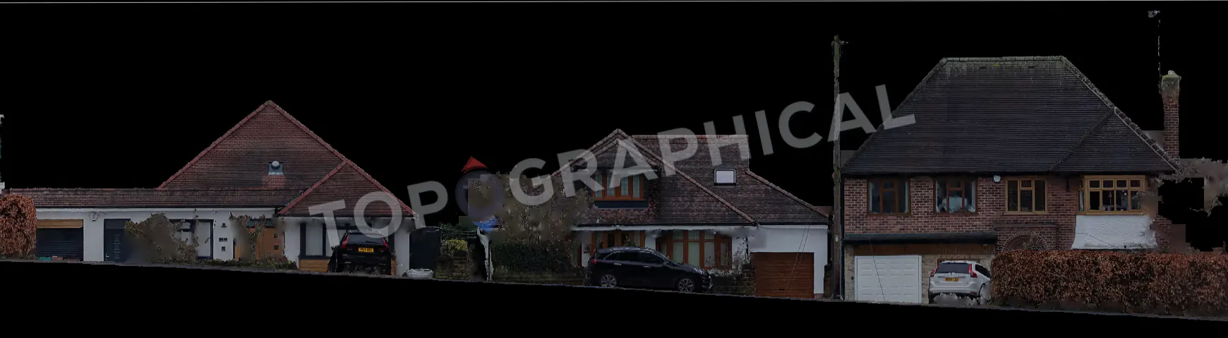
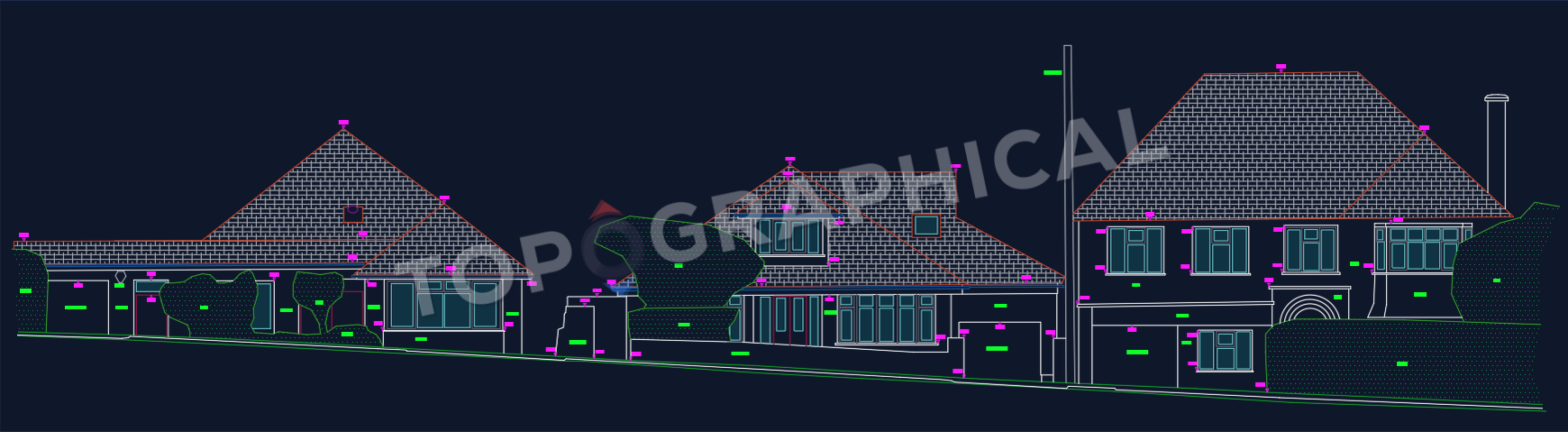
From registered scan to measured drawing
A facade is more useful when the ground comes with it
The drawing relates facade openings and heights to ground levels and adjoining buildings, so the elevation does not float without its street context.