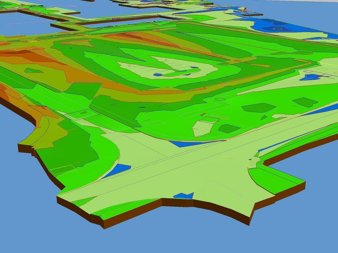
We have been busy in Lincolnshire earlier this month, undertaking topographical survey works as part of a series of surveys for the Ministry of Defence. We could tell you more, but "then we'd have to kill you"...
We can say that the topographic survey was delivered together with an underground utility mapping survey along with other specialist underground surveys. A BIM (Building Information Modelling) compliant format was requested and we used our in house Topo4BIM workflow to meet these stringent requirements efficiently. 2D & 3D cad files were delivered in this format, along with a 3d points file for ease of loading into Revit.
The joy of working on sites like this is how well managed and maintained they are. This results in complete and accurate data for the engineers and architects to work with. It's always worth tidying up and clearing any critical areas before the land surveyors arrive to carry out a topographic survey. Some underground detection equipment can only be operated on clear and open ground.
Lincolnshire is renowned for being low lying land, with large areas at risk of flooding. Although this wasn't the case on this particular project, topographic surveys are often carried out in Lincolnshire to investigate the risk of flooding on sites with potential for housing development.
Based in Nottingham, Topographical carry out land surveys nationwide. Our main client base is in the East Midlands including Nottinghamshire, Leicestershire, Lincolnshire and Derbyshire.
Read more about our Topographic Surveys or visit our Services Page to see our range of services including Boundary Surveys, Measured Building Surveys, Drone Surveys and Underground Surveys & Utility Mapping.


