
Topographic Surveys in Coventry: Unearthing the Hidden Landscape of the City
Coventry, a city steeped in history and innovation, is well-known for its beautiful medieval architecture and rich industrial heritage. As a thriving hub of technology, business, and culture, Coventry continues to develop at a rapid pace. To facilitate this growth and maintain the city's unique character, accurate and reliable land surveying services are essential. At Topographical.co.uk, we are proud to offer topographic surveys in Coventry, helping property developers, architects, and engineers to navigate the city's diverse landscape with precision and ease.
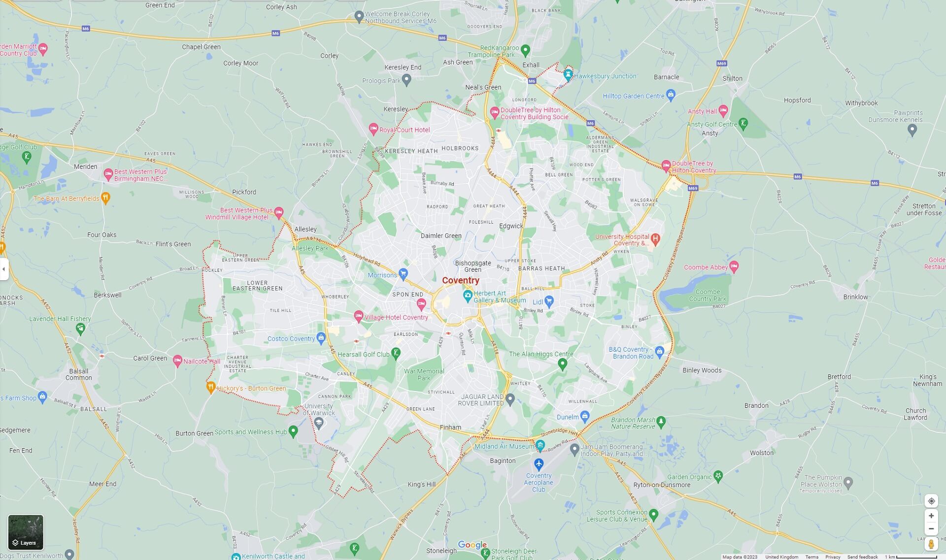
The landscape of Coventry is as diverse as its history, with a blend of flat and undulating terrains creating a unique tapestry across the region. The city is situated within the West Midlands, with the River Sherbourne meandering through its heart. The surrounding area comprises a mix of rural and urban landscapes, from the lush, open countryside to the dense industrial estates and residential areas. This varied topography presents both challenges and opportunities for land surveyors and developers alike.
At Topographical.co.uk, our experienced team of land surveyors are well-equipped to handle the intricacies of Coventry's landscape. We utilise state-of-the-art technology and proven methodologies to deliver accurate, high-quality topographic surveys for clients in the region.
A Recent Project Showcase: Business Park Expansion. One of our most recent projects in Coventry involved a large-scale topographic survey for the expansion of a local business park. Our client required detailed information about the site's existing conditions to inform the design and construction process, ensuring seamless integration with the surrounding environment.
Our team of expert surveyors at Topographical.co.uk carried out a comprehensive survey of the site, capturing vital data such as elevation, terrain features, and boundaries. We also identified and mapped existing utilities, drainage, and infrastructure, providing our client with a complete picture of the site's current state.
Using the latest GPS and laser scanning technology, we were able to efficiently and accurately capture high-resolution data, which was then processed and analysed by our skilled team of technicians. The final result was a detailed, accurate, and easy-to-interpret topographic map, enabling the client to confidently move forward with their expansion plans.
Coventry's diverse landscape is a testament to its rich history and ongoing growth. Topographical.co.uk is proud to play a role in shaping the city's future, providing topographic surveys in Coventry to support development projects of all sizes. Our commitment to accuracy, professionalism, and customer satisfaction ensures that we continue to be a solid choice for land surveying services in the region.
