
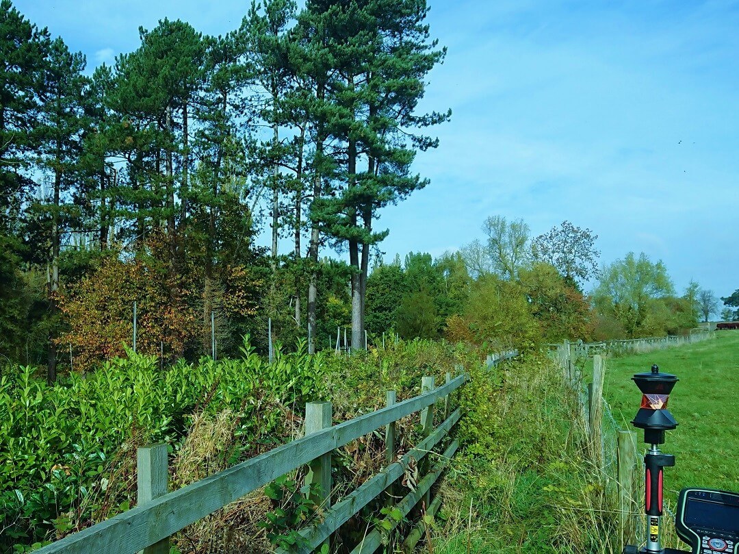
As one of several topographic surveys carried out in Leicestershire so far in October, this one came with some of the best weather.
Our client originally instructed us to carry out a boundary survey and has become a regular client with frequent need of our land surveying services for their estates near Leicester.
Shortly after we issued drawings, it was also issued to the appointed arboriculturist. They used the plan as a base map to undertake a tree survey to the British Standard “Trees in relation to construction – Recommendations” BS5837:2012.
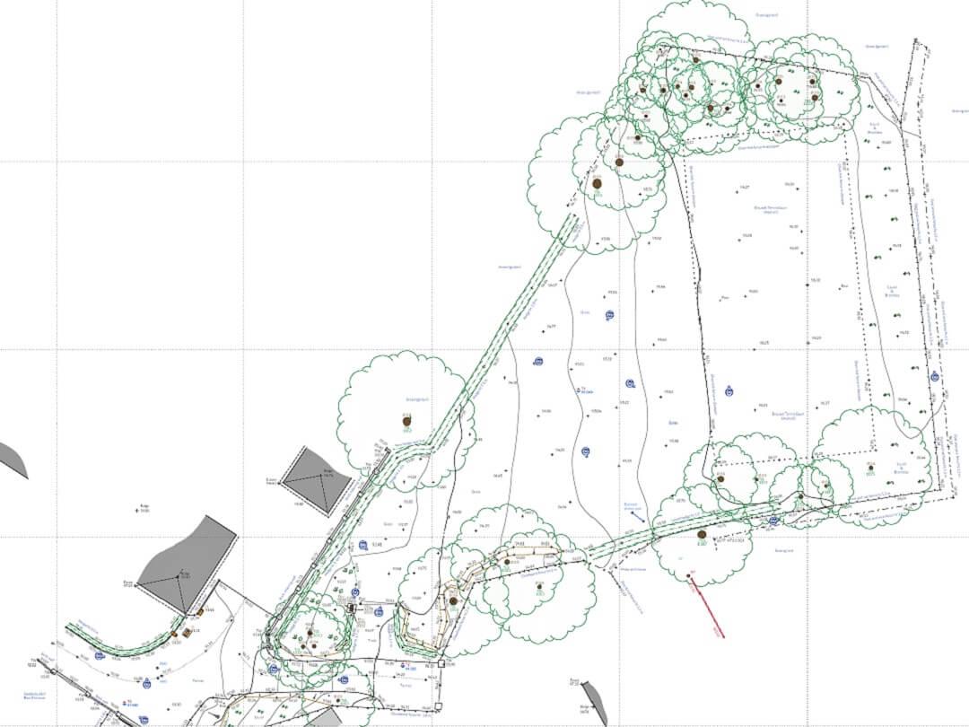
The land survey was issued as both 2d and 3d CAD files, with a pdf layout for printing, shown below. The camera symbols on the drawing will allow the planning consultants, architects and tree surveyor to look at the site conditions using photography from the time of the topographic survey. A single click on the camera symbol within CAD or with the PDF open opens the relevant image.
Along with all the standard topographic features, contours were displayed on the drawing at 0.5m intervals and a grid of levels at approximately 5m intervals. Trees over 75mm diameter trunk size were located, including any near to the boundaries of the site, in accordance with the British Standard. The existing access arrangement was included in the topographic survey as the turning area was quite tight.
Based in Nottingham, Topographical carry out land surveys nationwide. Our main client base is in the East Midlands including Nottinghamshire, Leicestershire, Lincolnshire and Derbyshire.
Read more about our Topographic Surveys or visit our Services Page to see our range of services including Boundary Surveys, Measured Building Surveys and Drone Surveys.
