
Small Unmanned Aerial Vehicles are often referred to as drones. They consist of either a fixed wing or multi rotor platform equipped with sensors to capture data.
Multi rotor drones are best suited to smaller mapping and inspection tasks. This is in part due to their low cruise speed and flight times. They require a very small take-off and landing area and can produce data at the ground resolution of 1mm per pixel - if weather favours their low resistance to wind.
Fixed Wing Drones, on the other hand, offer a faster cruise speed, longer flight times and require a larger take-off and landing area. They do offer higher resistance to wind and can produce cm per pixel data.
Most sensors equipped to drones are camera-based many firms offering aerial photography, video footage and inspection services. For survey grade data, the camera is usually utilised for photogrammetry whereby the camera takes multiple overlapping photos. The images are processed in a software package which enables a 3d map to be produced. Additional survey techniques can be deployed on the ground to improve the internal accuracy (relative accuracy) and to coordinate the survey accurately within a given coordinate system (absolute accuracy).
A recent development is the miniaturisation of LiDAR units (think Laser Scanner) which can be mounted to the drone. Instead of/in addition to photogrammetry, the laser scanner takes direct measurements to the ground, offering greater penetration for vegetated areas. They offer a very wide field of view, using deflecting mirrors - and all the speed benefits we love about laser scanners. As it is a recent technological advance, the cost of LiDAR equipped drones renders the service cost prohibitive for many topographic survey projects.
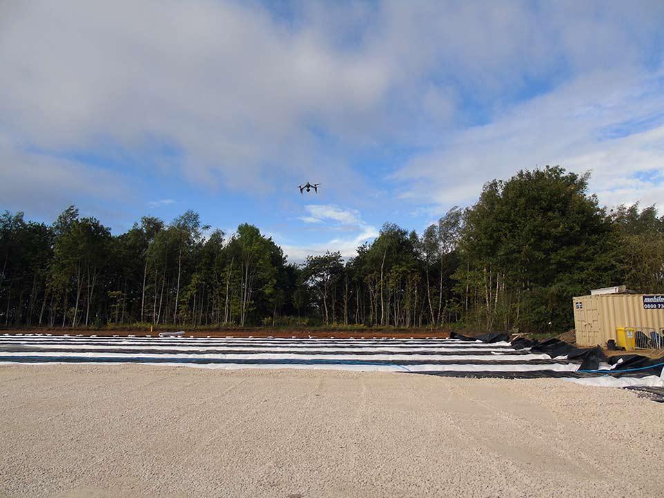
Drones offer an excellent alternative to manually measuring large areas of exposed land for a topographic survey. They can be used for site inspection, volume reporting and stock pile analysis and we'll use them to assist with terrerstrial laser scanning techniques to access difficult or unsafe areas. We take a wide range of factors into consideration when selecting whether to deploy drone photogrammetry and not all sites are suitable. Please contact us for a callback or draw your site in our land survey quote tool.
If you’d like to read more about this topic, please see the links below.
Royal Institution of Chartered Surveyors Applications of Aerial Photography Client Guide
Chartered Institution of Civil Engineering Surveyors Photogrammetry and Remote Sensing Client Guide
The Survey Association Small Unmanned Aircraft Surveys Client Guide
