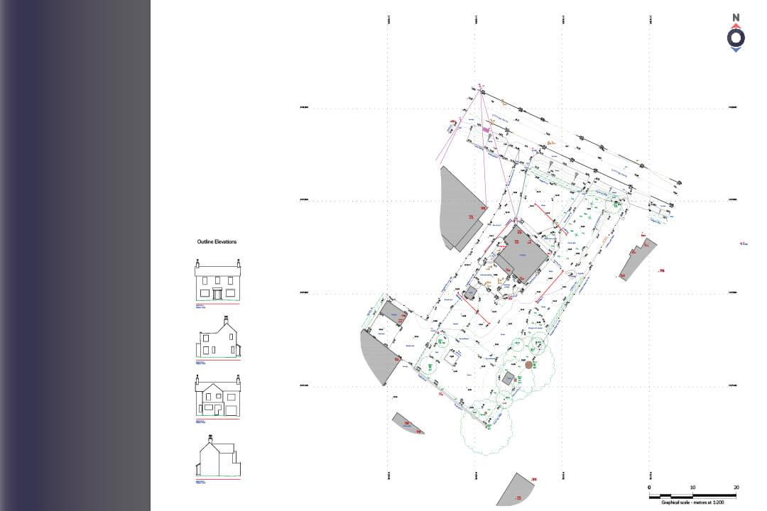
We were asked to produce elevation drawings and a topographic survey at a small site, local to us near Nottingham. After agreeing a competitive brief and price, we attended site.
We used high precision GPS technology to establish key coordinates for the site near Newark, further measurements were made using a total station and handheld laser measures and tape measures. Video footage of the building facades was also taken to aid with the processing of data into topographical survey drawings.
After careful processing and quality checking of the survey data, key points in the images of the video footage were coordinated, allowing the images to be stitched together and scaled correctly according to total station measurements made on site. This provides a fast and cost effective method for producing elevation drawings.
The topographic survey and elevation drawings were provided in CAD formats and as PDF files for ease of printing. They will be used by the local Nottingham architect in a planning application - with proposals to alter and extend the existing dwelling.


