
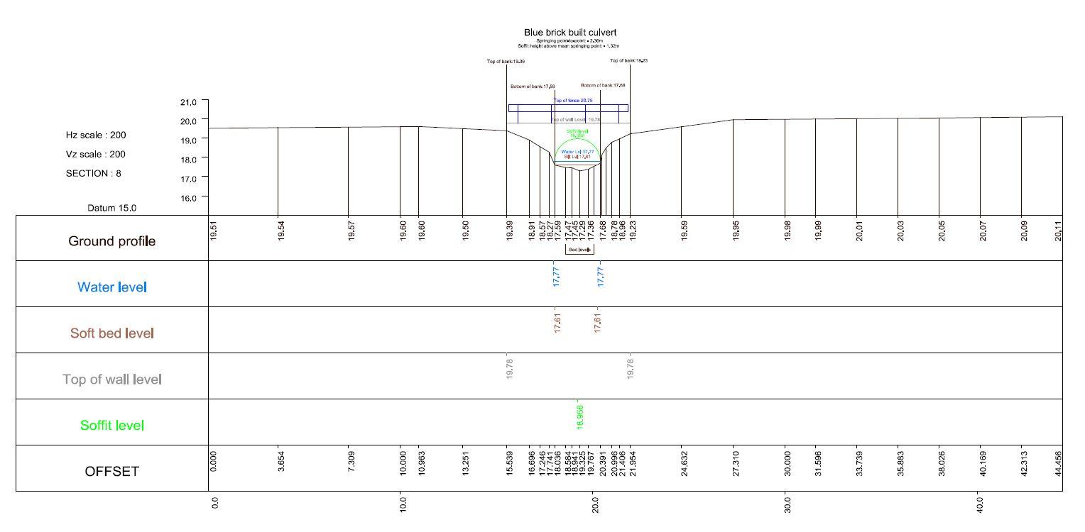
We provide watercourse cross sections including open channel and structures to our clients exact specifications.
After careful processing and quality control, watercourse/river cross sections can be output in the following formats:
ISIS/Infoworks RS
HEC-Ras
EACSD
MIKE 11 by DHI
Halcrow SANDS
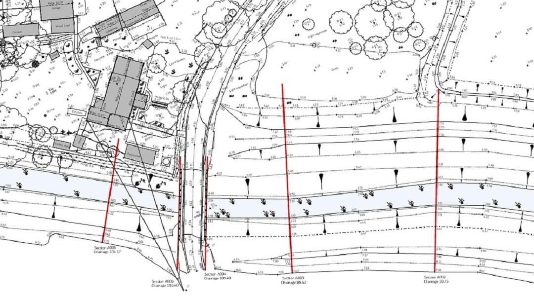
Usually accompanied with a location plan, survey and control report, photographs and CAD files, the cross sections can be extracted from a 3d model of the river (surveyed at a suitable grid interval) or sections can be measured at predetermined intervals (chainage).
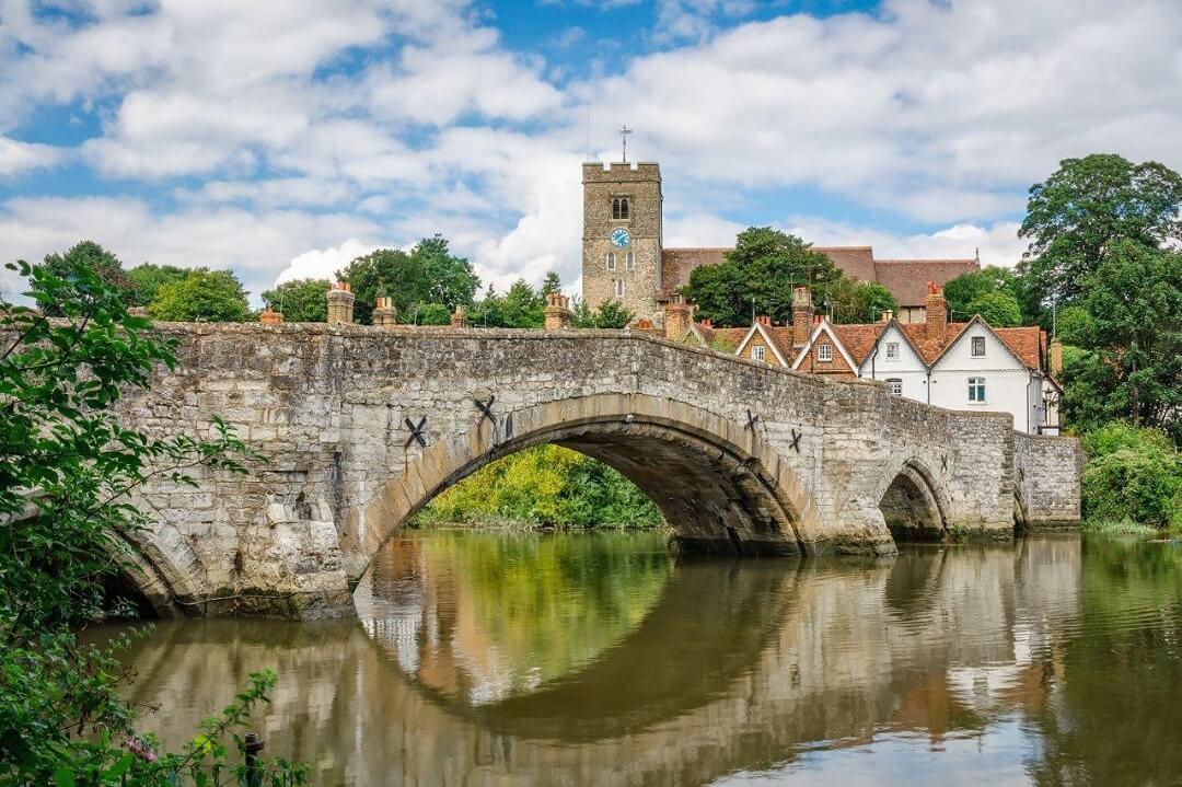
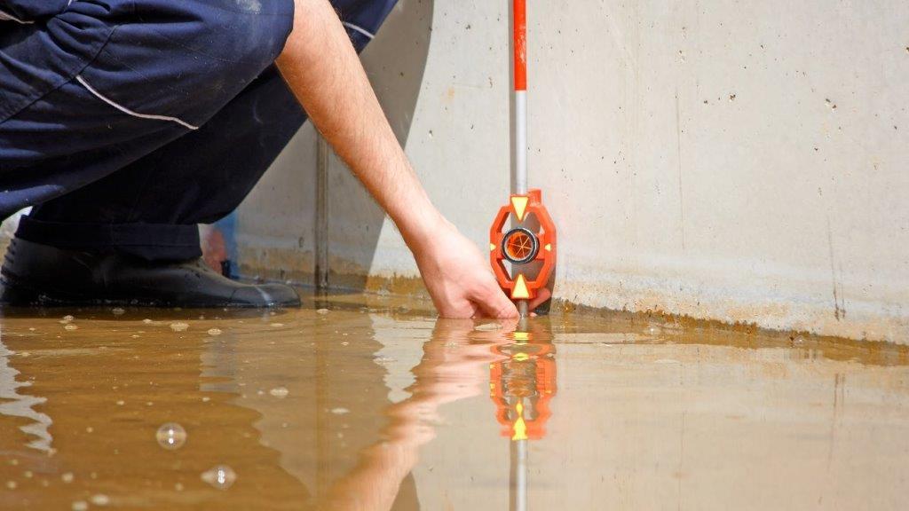
We can provide a survey solution for many flooding relating measurement tasks, including topographical surveys and the recording of historic flood levels above Ordnance Survey Datum, assuming sufficient evidence exists.
Back to Services, including Topographical Surveys, Boundary Surveys, Measured Building Surveys and Drone Surveys